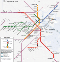
Boston Subway T Map
Massachusetts Bay Transportation Authority (MBTA) map of the Boston T subway system. Includes...
64 miles away
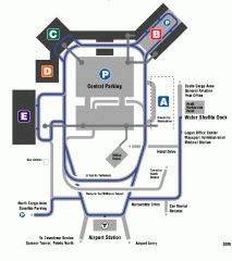
Boston/General Edward Lawrence Logan...
Terminal map of Boston/General Edward Lawrence Logan International Airport. Shows all areas.
64 miles away
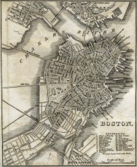
Antique map of Boston from 1842
Antique map of Boston from Tanner, H.S. The American Traveller; or Guide Through the United States...
64 miles away
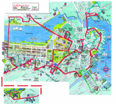
Boston Beantown Trolley Route Map
Route Map for the Boston Beantown trolley. Shows the trolley route, all stops, and a colorful...
64 miles away
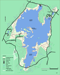
Whitehall State Park trail map
Trail map of Whitehall State Park in Massachusetts.
64 miles away

Mine Brook Wildlife Management Area Map
64 miles away
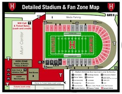
Harvard Stadium Map
Beautiful map of the horse-shoe shaped stadium of Harvard University.
65 miles away
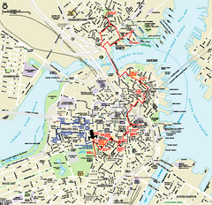
Boston National Historical Park Official Park Map
Official NPS map of Boston National Historical Park in Boston, Massachusetts. From park brochure...
65 miles away

John F. Kennedy School of Government Campus Map
Campus map of the Harvard University John F. Kennedy School of Government in Cambridge...
65 miles away
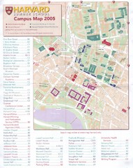
Harvard University Map
Campus map
65 miles away
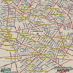
Cambridge, Massachusetts Map
66 miles away
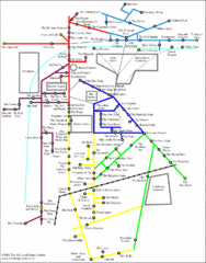
Cambridge Pub Map
66 miles away
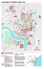
Harvard University campus map
Harvard University campus map
66 miles away
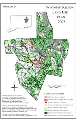
2002 Windham Region Land Use Map
Regional Land Use Guide Map for Planning Purposes
67 miles away
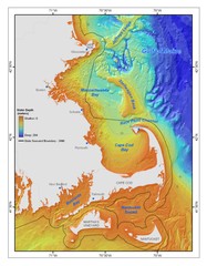
Massachusetts Bay sea floor Map
67 miles away

Eastern Long Island Placemat map
Photo of a placemat map from Gosman's Dock Restaurant in Montauk, NY. Shows eastern Long...
67 miles away
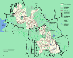
Callahan State Park trail map
Trail map of Callahan State Park in Massachusetts
68 miles away
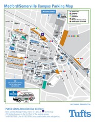
Medford Campus Map
Clear map indicating buildings and parking areas.
68 miles away
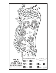
Rocky Neck State Park campground map
Campground map of Rocky Neck State Park in Connecticut.
69 miles away
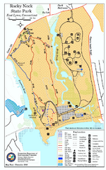
Rocky Neck State Park trail map
Trail map of Rocky Neck State Park in Connecticut.
69 miles away
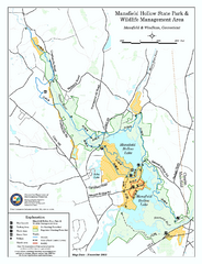
Mansfield Hollow State Park map
Map for Mansfield Hollow State Park and Wildlife Management Area in Connecticut.
69 miles away
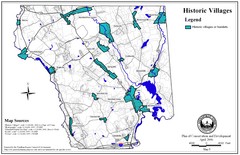
Historic Villages of Mansfield, Connecticut Map
Historical villages outlined on the map of the existing city.
70 miles away
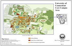
University of Connecticut Campus Map
Map shows current, funded projects and future development for UConn.
70 miles away
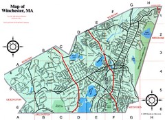
Winchester Town Map
71 miles away
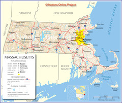
Massachusetts Road Map
71 miles away
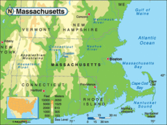
Massachusetts Rivers, Lakes, Mountains and...
71 miles away
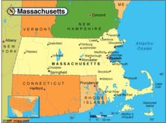
Massachusetts Cities Map
71 miles away
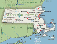
Massachusetts Cities and Mountains Map
71 miles away
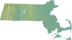
Maryland Relief Map
71 miles away
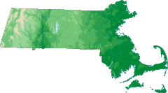
Massachusetts Elevations Map
71 miles away
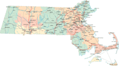
Massachusetts Road Map
71 miles away
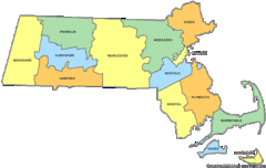
Massachusetts Counties Map
71 miles away
Massachusetts Zip Code Map
Check out this Zip code map and every other state and county zip code map zipcodeguy.com.
71 miles away
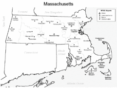
Massachusetts Airports Map
71 miles away
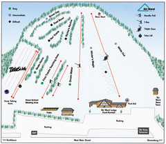
Ski Ward Ski Trail Map
Trail map from Ski Ward.
71 miles away

Mansfield Cemetery Map
71 miles away
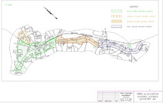
Town of Lexington Historic Districts Map
Identifies the 4 historical districts of Lexington, Massachusetts.
72 miles away
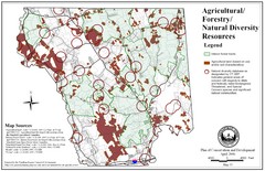
Mansfield Conservation and Development Map
Guide to Agricultural, Forestry and Natural Diversity Resources
72 miles away
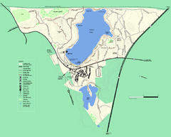
Walden Pond State Reservation trail map
Trail map of Walden Pond State Reservation
72 miles away
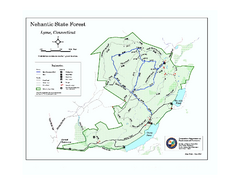
Nehantic State Forest map
Trail map of Nehantic State Forest in Connecticut.
72 miles away

