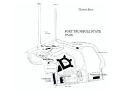
Fort Trumbull State Park map
Map of Fort Trumbull State Park in Connecticut.
62 miles away
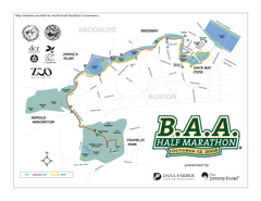
Boston Athletic Association Half Marathon Map
Guide to the Boston Half Marathon, organized by the Boston Athletic Association
62 miles away
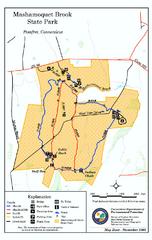
Mashamoquet Brook State Park trail map
Trail map of Mashamoquet Brook State Park in Connecticut.
62 miles away
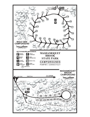
Mashamoquet Brook State Park campground map
Campground map of Mashamoquet Brook State Park in Connecticut.
62 miles away
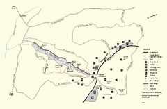
Purgatory Chasm State Reservation trail map
Trail map of Purgatory Chasm State Reservation in Massachusetts.
62 miles away
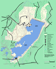
Ashland State Park Map
Map of Ashland State Park in Massachusetts.
62 miles away
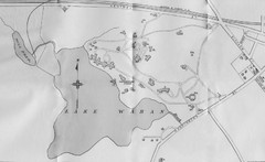
1899 Map of Wellesley College
After College Hall, the original site of Wellesley's faculty, students, classrooms, and...
62 miles away
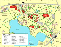
Wellesley College campus map
2008 Wellesley College campus map
62 miles away
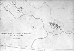
1870s Map of Wellesley College
General plan of college grounds, 1870s.
62 miles away
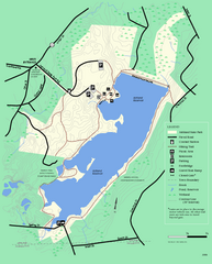
Ashland State Park Map
Clear map and legend marking trails, parking, facilities and more.
62 miles away
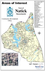
Natick Areas Of Interest Map
Shows points of interest in town of Natick, Massachusetts. Inset of downtown Natick.
62 miles away
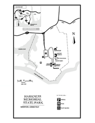
Harkness Memorial State Park map
Trail map of Harkness Memorial State Park in Connecticut.
63 miles away
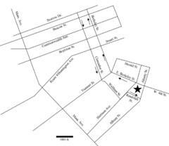
Rotch Field Location Map
Directions to Rotch Playing Field in Boston Common.
63 miles away
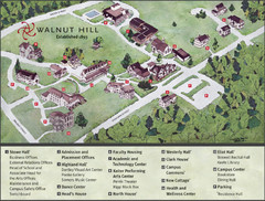
Walnut Hill School Map
Campus Map
63 miles away
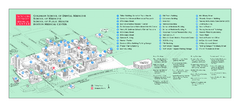
Boston University Medical Campus and Boston...
Boston University Medical Campus and Boston Medical Center area map. All buildings shown.
63 miles away
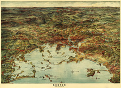
Walker's Map of Boston Harbor and Environs...
Walker's map of Boston Harbor and immediate environs from 1905.
63 miles away
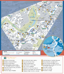
Fenway Cultural District Map
Map of the Fenway Cultural District. Shows schools, museums, libraries, and other cultural points...
63 miles away
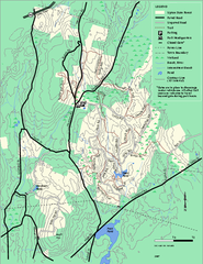
Upton State Forest trail map
Trail map for Upton State Forest in Massachusetts.
63 miles away
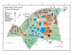
Boston College - Chestnut Hill Campus Map
Boston College - Chestnut Hill Campus Map. Shows all buildings.
63 miles away
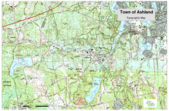
Ashland, MA - Topo Map
Map is provided by the town of Ashland, MA. See town's website for additional maps and...
63 miles away
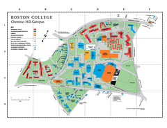
Boston College Main Chestnut Hill Campus Map
The main campus of Boston College, Chestnut Hill. Grid Map with Building Table
63 miles away
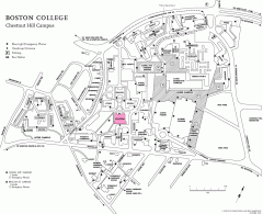
Boston College Chestnut Hill Campus Map
campus map for Boston College's Chestnut Hill Camps
63 miles away
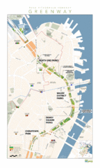
Rose Fitzgerald Kennedy Greenway Map
Boston's extensive heritage of parklands and common ground includes the Emerald Necklace...
64 miles away
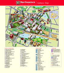
Northeastern University Map
Northeastern University Campus Map. All areas shown.
64 miles away
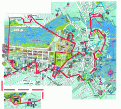
Boston 'Beantown Trolley' map
Tourist map of Boston, Mass. showing route of the Beantown Trolley, various points of interest and...
64 miles away
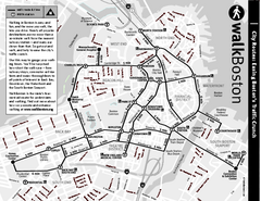
Walking Map of Boston, Massachusetts
Tourist map of Boston, Massachusetts, showing walking routes and times, as well as museums, squares...
64 miles away
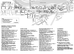
Boston University Charles River Campus Map
Campus map of Boston University. Charles River Campus. All areas shown.
64 miles away
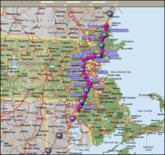
Interstate 95 Cities in Massachusetts Map
64 miles away
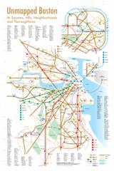
Boston Neighborhood Map
64 miles away
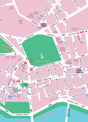
Boston Neighborhood Map
64 miles away
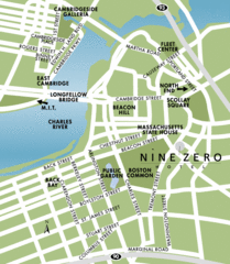
Central Boston Tourist Map
64 miles away
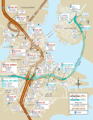
I-93 & I-90 Boston Map
Detail of exits and on-ramps for downtown Boston.
64 miles away
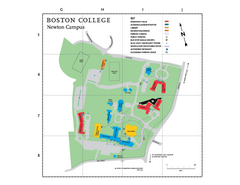
Boston College - Newton Campus Map
Boston College - Newton Campus Map. Shows all buildings.
64 miles away
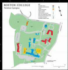
Boston College Newton Campus Map
campus map for Boston College Newton Campus
64 miles away
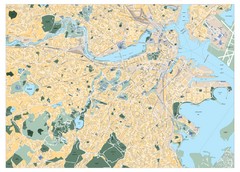
Boston, Massachusetts City Map
64 miles away
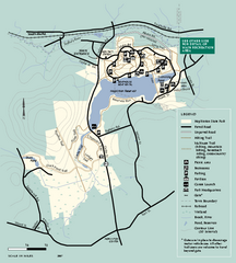
Hopkinton State Park trail map
Trail map of Hopkinton State Park in Massachusetts
64 miles away
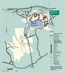
Hopkinton State Park trail map
Trail map of Hopkinton State Park in Massachusetts
64 miles away

