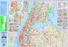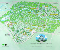
The New York Botanical Garden Map
Official Map of The New York Botanical Garden in New York. Shows all areas and different gardens.
159 miles away
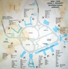
John F. Kennedy International Airport Map
Terminal and Road map of John F. Kennedy International Airport.
159 miles away
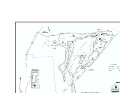
Shaftsbury State Park Map
Campground map of Shaftsbury State Park in Vermont.
159 miles away
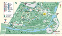
Bronx Zoo Map
Bronx Zoo. The Zoo is open 365 days a year. "Now through November 4, 2007, our hours are 10...
159 miles away
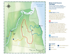
Black Creek Trail Preserve Map
Trail map of Black Creek Preserve on the Hudson River in New York. Shows Yellow Trail, Red Trail...
160 miles away

Poets Walk Trail Map
Guide to Poet's Walk and Hudson River Overlook
160 miles away
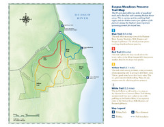
Esopus Meadows Preserve Trail Map
Trail map of Esopus Meadows Preserve park on the Hudson River.
160 miles away
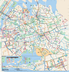
Queens, New York Bus Map
Official MTA Bus Map of Queens, NY. Shows all routes.
160 miles away
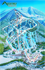
Ascutney Mountain Ski Trail Map 2006-07
Official ski trail map of Ascutney ski area from the 2006-2007 season.
160 miles away
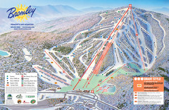
Bromley Mountain Ski Trail Map
Trail map from Bromley Mountain.
161 miles away
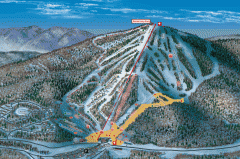
Bromley Mountain Ski Area map 2006-07
Simple ski trail map of Bromley Mountain Ski Area for the 2006-2007 season.
161 miles away
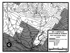
Cardigan State Park map
Topographical map of West Side hiking trails in Cardigan State Park in New Hampshire.
161 miles away
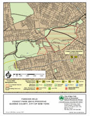
Forest Park Preserve Map
Map of Forest Park Preserve, Queens County, City of New York. 538 acres of trees and fields
161 miles away
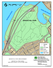
Inwood Hill Park Trail Map
Trail map of Inwood Hill Park located at the extreme northern tip of Manhattan. 136 acres.
162 miles away
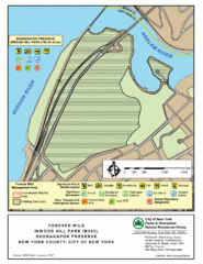
Inwood Hill Park Map
Park map of Inwood Hill Park in the Shorakapok Preserve, New York. 136 acres.
162 miles away
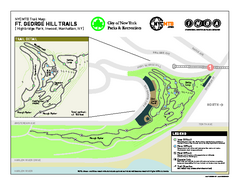
Highbridge Park mountain bike trail map
Mountain biking trail network opened in May 2007. Only mountain biking trails in Manhattan. 25...
162 miles away
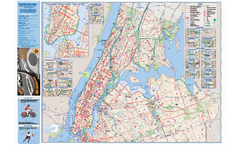
NYC Biking Route Map (Manhattan & Queens)
Official NYC biking map of Manhattan and Queens.
162 miles away
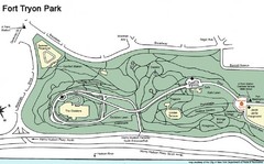
Fort Tyron Park Map
162 miles away
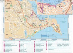
Falmouth Map
Map of Falmouth town and bay. Includes roads, parks, accommodations and attractions.
162 miles away
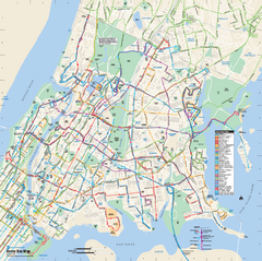
Bronx, New York Bus Map
Official MTA Bus Map of all of the Bronx, New York. Shows all routes.
162 miles away
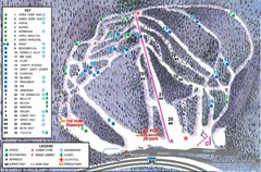
Whaleback Ski Trail Map
A Trail Map of Whaleback Ski Area
163 miles away
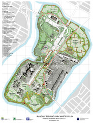
Randall's Island Park Map
Master plan for Randall's Island Park
163 miles away
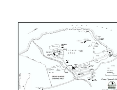
Camp Plymouth State Park map
Map of Camp Plymouth Park in Vermont.
163 miles away
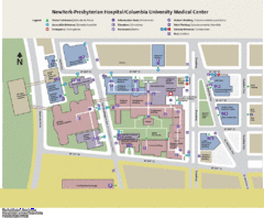
Columbia University Medical Center Map
163 miles away

Manhattan Waterfront Greenway Bike Map
Bike map of the Manhattan Waterfront Greenway. Shows walking and biking paths, ferry landings and...
163 miles away
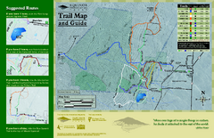
Equinox Preservation Trail map
Trail map of the Equinox Preservation Trust in Manchester, VT. The Equinox Preservation is over...
163 miles away
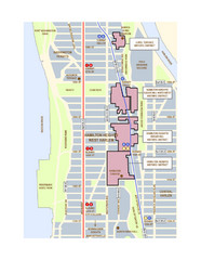
Hamilton Heights West Harlem Map
Hamilton Heights - West Harlem, New York City community map
163 miles away

Broadway Elevation Map
Illustrative section of Broadway, from 125th Street to 134th Street, looking east
164 miles away
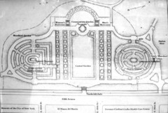
Central Park Conservatory Garden Map
Map of the Conservatory Garden in Central Park, New York City. Photo of outdoor map.
164 miles away
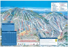
Okemo Mountain Resort ski trail map 2006-07
Official ski trail map of Okemo ski area for the 2006-2007 season. Slopes & Trails 624 acres...
165 miles away
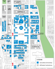
Columbia University Map
Campus map of Columbia University. All buildings shown.
165 miles away
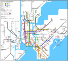
New York Subway Map
The subway and nearby railways in New York City
165 miles away

Manhattan Bus Map
165 miles away
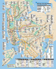
New York City MTA Subway Map
Official subway map for New York City
165 miles away
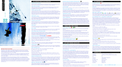
Okemo Mountain Resort Ski Trail Map
Trail map from Okemo Mountain Resort.
165 miles away
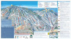
Okemo Ski Trail Map
Ski trail map of Okemo ski area. A James Niehues creation.
165 miles away
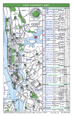
Green Markets in NYC Map
A map of all the green markets in the 5 boroughs of New York City.
165 miles away
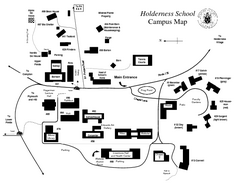
Holderness School Campus Map
A Campus Map of the Holderness School
165 miles away
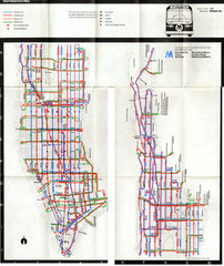
1974 Manhattan Bus Map
165 miles away

