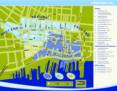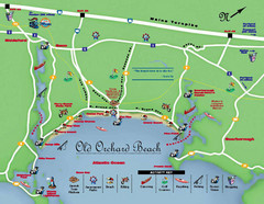
Old Orchard Beach Tourist Map
146 miles away
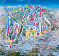
Mount Snow Ski Trail Map - main face
Trail map of main face of Mt Snow ski area near Wilmington, Vermont
146 miles away
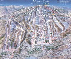
Mount Snow Trail Map 2001
Ski trail map of Mount Snow ski area, estimated 2001
146 miles away
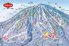
Stratton Mountain Resort Ski Trail Map
Trail map from Stratton Mountain Resort.
146 miles away
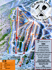
Mount Snow Carinthia Terrain Park Ski Trail Map
Trail map from Mount Snow.
147 miles away
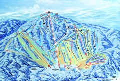
Gunstock Ski Trail Map
Ski trail map of Gunstock Mountain ski area
147 miles away
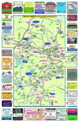
Columbia County - Boston Corners, Copake, Copake...
Tourist map of Columbia County, Mass. Includes towns of Boston Corners, Copake, Copake Falls...
147 miles away
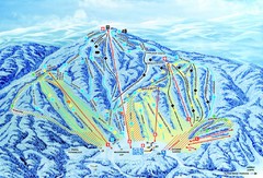
Gunstock Ski Area Ski Trail Map
Trail map from Gunstock Ski Area.
147 miles away
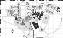
Nassau Community College Map
Campus Map
148 miles away
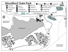
Woodford State Park Campground Map
Campground map for Woodford State Park in Vermont
148 miles away
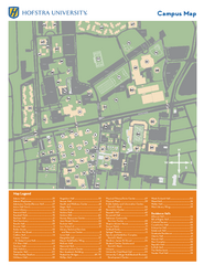
Hofstra University Campus Map
148 miles away
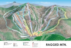
Ragged Mountain Ski trail Map
Official ski trail map of Ragged Mountain ski area from the 2007-2008 season.
149 miles away
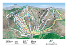
Ragged Mountain Ski Trail Map
Trail map from Ragged Mountain.
149 miles away
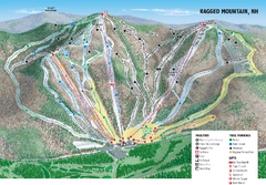
Ragged Mountain Ski Trail Map
Trail map from Ragged Mountain.
149 miles away
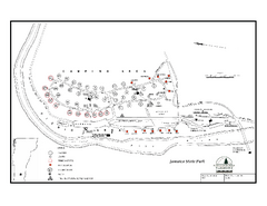
Jamaica State Park Campground Map
Campground map of Jamaica State Park in Vermont
149 miles away
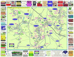
Columbia County - Austerlitz, Canaan, Chatham...
Tourist map of Columbia County including towns of Austerlitz, Canaan, Chatham, East Chatham Ghent...
153 miles away
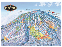
Stratton Mountain ski area trail map 2006-07
Official ski trail map of Stratton Mountain ski area from the 2006-2007 season.
154 miles away
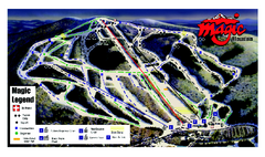
Magic Mountain Ski Trail map
Official ski trail map of Magic Mountain ski area from the 2006-2007 season.
154 miles away
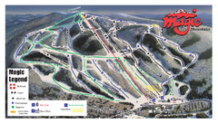
Magic Mountain Ski Trail Map
Trail map from Magic Mountain.
154 miles away
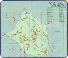
Chester Town Map
155 miles away
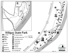
Wilgus State Park Campground Map
Campground map for Wilgus State Park in Vermont
155 miles away

City Island Street Map
Street map of City Island, New York
155 miles away
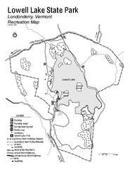
Lowell Lake State Park map
Campground map for Lowell Lake State Park in Vermont
155 miles away
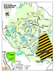
Blue Mountain Reservation Mountain Bike Trail Map
Mountain biking map of the Blue Mountain Reservation from the Westchester Mountain Biking...
156 miles away
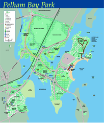
Pelham Bay Park NYC Map
Official detailed map of Pelham bay park, the largest park in New York City at 2,700 acres. Map...
156 miles away
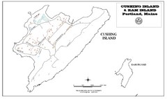
Cushing Island Map
Also shows Ram Island
157 miles away
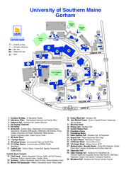
University of Southern Maine - Gorham Map
157 miles away
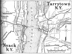
Antique map of Nyack and Tarrytown from 1917
Map of Nyack and Tarrytown, NY from Automobile Blue Book, 1917, Vol. 3
157 miles away
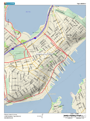
Portland, Maine City Map
157 miles away
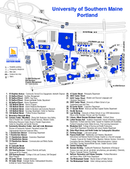
University of Southern Maine - Portland Map
157 miles away
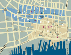
Portland, Maine Tourist Map
157 miles away
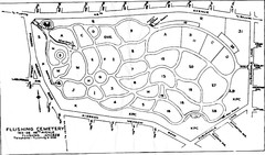
Flushing Cemetery Map
Map of the sections of Flushing Cemetery in Queens
158 miles away
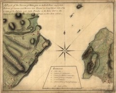
Oyster Bay and Huntington, Huntington Bay Map
A plan of the Narrows of Hells-gate in the East River, near which batteries of cannon and mortars...
158 miles away
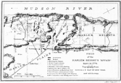
Harlem Hieghts Affair Map
Topography of the field during the battle on Sept 16 1776
158 miles away
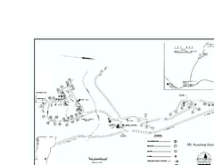
Ascutney State Park map
Campground map of Ascutney State Park in Vermont
158 miles away
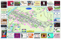
Hudson Tourist Map
Tourist map of Hudson, New York showing all tourist points of interest. Ads around border.
158 miles away
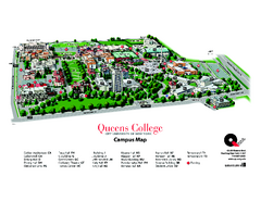
Queens College Campus Map
3D map of Queens College campus. All buildings shown.
159 miles away
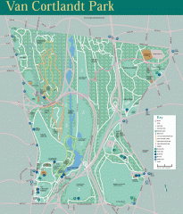
Van Cortlandt Park Trail Map
Trail map of Van Cortlandt Park in the Bronx. Covers 573 acres.
159 miles away
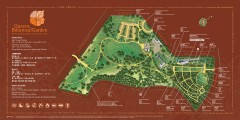
Queens Botanical Garden Map
Shows facilities and names of different gardens. In many languages.
159 miles away

