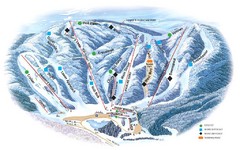
Butternut Ski Area Ski Trail Map
Trail map from Butternut Ski Area.
134 miles away
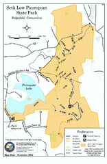
Seth Low Pierrepont State Park Reserve map
Trail map of Seth Low Pierreport State Park in Connecticut.
134 miles away

Camp Morgan Trail Map
135 miles away

Map of Fire Island National Seashore
Official Map of Fire Island National Seashore in New York. Shows all towns and information.
135 miles away
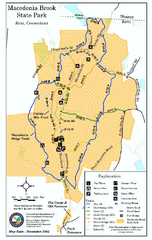
Macedonia Brook State Park trail map
Trail map of Macedonia Brook State Park in Connecticut.
135 miles away
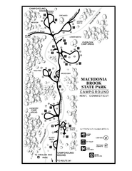
Macedonia Brook State Park campground map
Campground map for Macedonia Brook State Park in Connecticut.
135 miles away
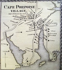
Cape Porpoise Village Map
136 miles away
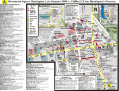
Huntington, New York Restaurant Map
137 miles away
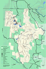
Savoy Mountail trail map
Trail map for Savoy Mountain in Massachusetts.
137 miles away
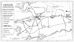
Lenox Town Map
Hand-drawn town map of Lenox, Mass. Bordered by Lenox Mountain and October Mountain. Shows points...
137 miles away
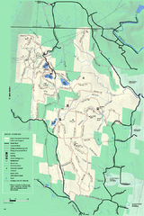
Savoy Mountain winter map
Winter use map of Savoy Mountain in Massachusetts.
137 miles away
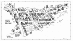
Lenox Village Map
Hand-drawn village map of historic center of Lenox, Massachusetts
137 miles away
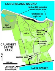
Caumsett State Park Map
Park map of Caumsett State Park on Long Island Sound, New York
137 miles away
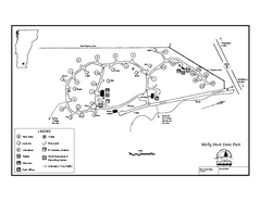
Molly Stark State Park Campground Map
Campground map for Molly State State Park in Vermont
138 miles away
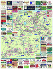
South County Berkshires map
Tourist map of Great Barrington, Housatonic, Sheffield, S. Egremont, N. Egremont Lenox, Stockbridge...
138 miles away
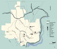
Monroe State Forest trail map
Trail map of Monroe State Forest in Massachusetts.
138 miles away
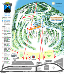
Thunder Ridge Ski Trail Map
Trail map from Thunder Ridge.
138 miles away
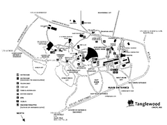
Tanglewood Map
Detailed map of the Tanglewood grounds that includes the location of the Box Office, Friends Office...
138 miles away
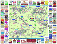
North County Berkshires map
Tourist map of North County - Pittsfield, N. Adams, Adams, Lanesboro, Cheshire, Williamstown...
139 miles away
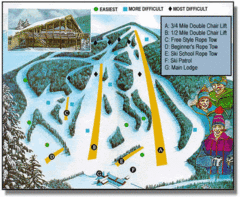
Bousquet Ski Area Ski Trail Map
Trail map from Bousquet Ski Area.
139 miles away
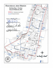
Pittsfield,, Massachusetts City Map
139 miles away
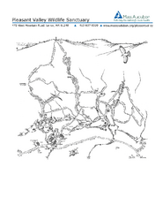
Pleasant Valley Wildlife Sanctuary Trail Map
Trail map of Pleasant Valley Wildlife Sanctuary
139 miles away
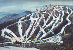
Brodie Ski Trail Map
Trail map from Brodie.
141 miles away
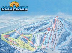
Catamount Ski Trail Map
Official ski trail map of Catamount ski area from the 2006-2007 season.
141 miles away
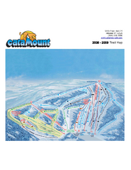
Catamount Ski Area Ski Trail Map
Trail map from Catamount Ski Area.
141 miles away
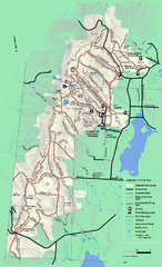
Pittsfield State Forest winter trail map
Winter use trail map of Pittsfield State Forest in Massachusetts.
142 miles away
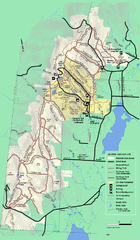
Pittsfield State Forest summer trail map
Summer use trail map of Pittsfield State Forest in Massachusetts.
142 miles away
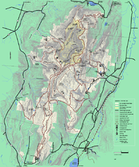
Mt. Greylock State Reservation winter trail map
Winter use trail map of Mt. Greylock State Park in Massachusetts.
142 miles away
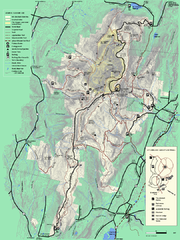
Mt. Greylock State Reservation summer trail map
Summer trail map of the Mt. Greylock State Park area in Massachusetts.
142 miles away
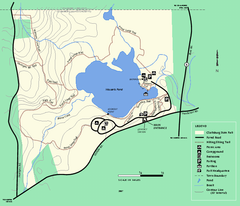
Clarksburg State Park trail map
Trail map of Clarksburg State Park in Massachusetts.
142 miles away
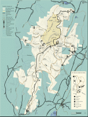
Mt. Greylock State Reservation map
Official summer map of the Mount Greylock State Reservation. At 3,491 feet, Mount Greylock is the...
143 miles away
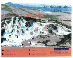
Temple Mountain Last year open—Credited to...
Trail map from Temple Mountain. This ski area opened in 1937.
143 miles away
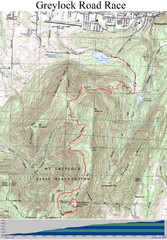
Mt. Greylock Road Race Course Map
Course map of the annual Mount Greylock Road Race. 8 Miles (uphill). Start/Finish: Mt. Williams...
143 miles away
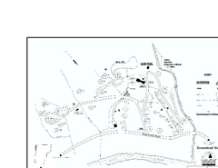
Townshend State Park Campground Map
Campground map of Townshend State Park in Vermont
143 miles away
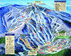
Mount Sunapee Ski Area Ski Trail Map
Trail map from Mount Sunapee Ski Area.
143 miles away
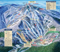
Mt. Sunapee Ski Trail Map
Official ski trail map of Mt. Sunapee ski area from the 2007-2008 season.
143 miles away
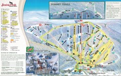
Jiminy Peak Ski Trail Map
Official ski trail map of Jiminy Peak ski area from the 2007-2008 season.
144 miles away
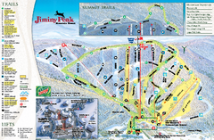
Jiminy Peak Resort Ski Trail Map
Trail map from Jiminy Peak Resort.
144 miles away
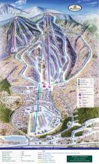
Haystack Club Ski Trail map
Official ski trail map of Haystack ski area from the 2006-2007 season.
145 miles away

