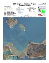
Penekese Island Eelgrass Map
0 miles away
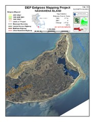
Nashawena Island Eelgrass Map
3 miles away
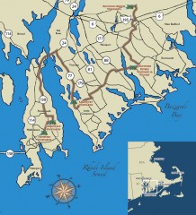
Southeastern New England Wine Trail Map
Map of the Southeastern New England Wine Trail, showing all vineyards and wineries that are members...
12 miles away
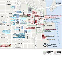
New Bedford Whaling National Historical Park...
Official NPS map of New Bedford Whaling National Historical Park in Massachusetts. Map shows all...
14 miles away
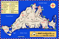
Martha's Vineyard Island Map
Tourist map of island of Martha's Vineyard, Massachusetts.
14 miles away
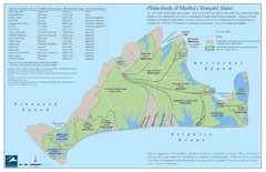
Martha's Vineyard Watershed Map
15 miles away
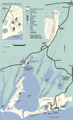
Waquoit Bay National Estuarine Research Preserve...
Trail map of Waquoit Bay National Estuarine Research Preserve in Massachusetts.
17 miles away
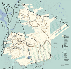
Freetown-Fall River State Forest trail map
Trail map of Freetown-Fall River State Forest in Massachusetts
24 miles away
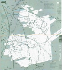
Freetown State Forest Map
Freetown State Forest Map showing mountain biking trails
24 miles away
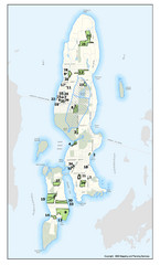
Conanicut Island Land Trust Map
Shows 430 acres of property on Conanicut Island, RI stewarded by the Conanicut Island Land Trust
24 miles away
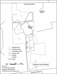
Parker Farm Trail Map
25 miles away
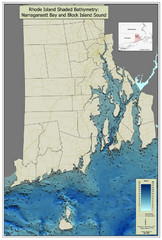
Rhode Island Shaded Bathymetry Map
Bathymetric map of Rhode Island with Narrangansett Bay and Rhode Island Sound. Graduated...
25 miles away
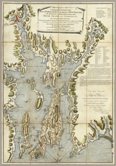
Narrangansett Bay Map 1777
"A Topographical CHART of the BAY of NARRAGANSET in the Province of NEW ENGLAND. with the...
27 miles away
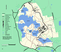
Massasoit State Park trail map
Trail map of Massasoit State Park in Massachusetts
30 miles away
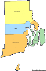
Rhode Island Counties Map
31 miles away
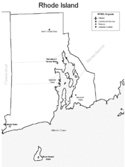
Rhode Island Airports Map
31 miles away
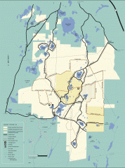
Myles Standish State Forest winter trail map
Winter activity map of all the trails and roads in Myles Standish State Park, MA. Cross country...
31 miles away
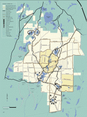
Myles Standish State Forest summer trail map
Map of all the trails and roads in Myles Standish State Park, MA. 15 miles of bicycle trails, 35...
31 miles away
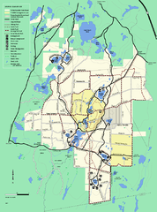
Myles Standish State Forest trail map
Summer trail map for Myles Standish State Forest.
31 miles away
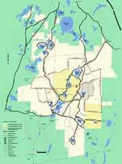
Myles Standish State Forest Winter trail map
Myles Standish State Forest winter use trail map.
32 miles away
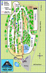
Yawgoo Valley Ski Area Ski Trail Map
Trail map from Yawgoo Valley Ski Area.
32 miles away
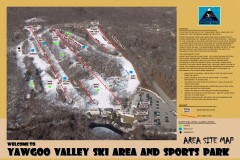
Yawgoo Valley Ski Trail map
Map of Yawgoo Valley Ski area in Exeter, Rhode Island. It is the only skiing resort in Rhode...
32 miles away
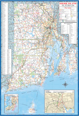
Rhode Island Road Map
Official Rhode Island state highway map. Insets show Newport and Providence.
34 miles away
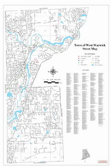
West Warwick Town Map
Street map of W. Warwick
36 miles away
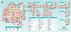
Cape Cod Hospital Map
Campus map of Cape Cod Hospital
36 miles away

Cape Cod Hospital Map
Map of external vicinity of Cape Cod Hospital
36 miles away
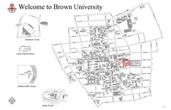
Brown University Map
37 miles away
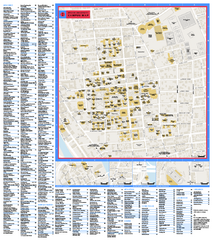
Brown University Campus Map
Official campus map of Brown University.
37 miles away
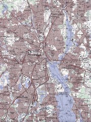
Providence Topo Map
Topo map of Providence, East Providence, Cranston, and Pawtucket, RI. Original scale 1:50,000
37 miles away
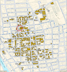
Providence, Rhode Island City Map
37 miles away
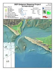
Esther Island Map
DEP Eelgrass map of Esther Island, Nantucket
37 miles away
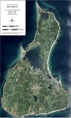
Block Island Aerial Map
Aerial map of Block Island, RI (New Shoreham, RI). True color orthophotography from August 2006.
39 miles away
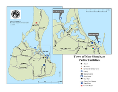
Block Island Road Map
Shows roads and major facilities on Block Island, RI (New Shoreham)
39 miles away
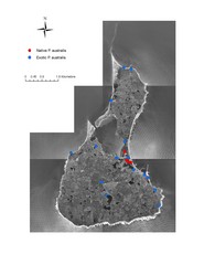
Native and Exotic Phragmites on Block Island Map
39 miles away
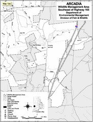
Arcadia Wildlife Management Area Map - Southeast
Reference map shows portion of Arcadia Wildlife Management Area, Rhode Island southeast of Highway...
41 miles away
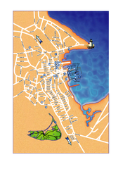
Nantucket Town Street Map
Tourist map of town of Nantucket on Nantucket Island. Shows major streets and points of interest...
44 miles away
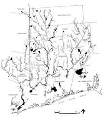
Rhode Island Coastal Watershed Map
Paddling Guide of Pawcatuck River Watershed
44 miles away
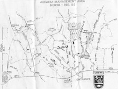
Arcadia Management Area State Map
Trail map for Arcadia Management Area in Rhode Island
44 miles away
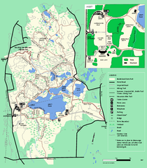
Borderland State Park trail map
Trail map of Borderland State Park in Massachusetts
45 miles away

