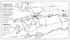
Lenox Town Map
Hand-drawn town map of Lenox, Mass. Bordered by Lenox Mountain and October Mountain. Shows points...
98 miles away
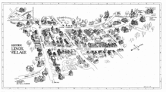
Lenox Village Map
Hand-drawn village map of historic center of Lenox, Massachusetts
99 miles away
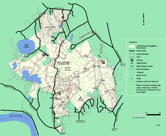
Lowell-Dracut-Tyngsboro State Forest trail map
Trail map for the Lowell-Dracut-Tyngsboro State Forest in Massachusetts
99 miles away
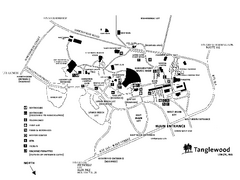
Tanglewood Map
Detailed map of the Tanglewood grounds that includes the location of the Box Office, Friends Office...
99 miles away

City Island Street Map
Street map of City Island, New York
99 miles away
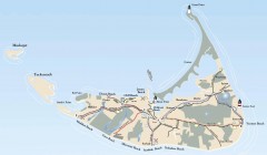
Tourist Map of Nantucket Island
Tourist map of Nantucket Island. Shows all towns and information.
99 miles away
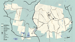
Kenneth Dubuque Memorial State Park trail map
Trail map of the Kenneth Dubuque state park conservation area in Massachusetts.
100 miles away
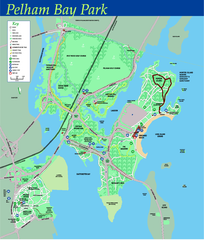
Pelham Bay Park NYC Map
Official detailed map of Pelham bay park, the largest park in New York City at 2,700 acres. Map...
100 miles away
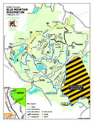
Blue Mountain Reservation Mountain Bike Trail Map
Mountain biking map of the Blue Mountain Reservation from the Westchester Mountain Biking...
100 miles away
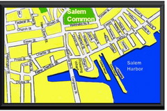
Salem, Massachusetts Guide Map
100 miles away
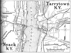
Antique map of Nyack and Tarrytown from 1917
Map of Nyack and Tarrytown, NY from Automobile Blue Book, 1917, Vol. 3
101 miles away
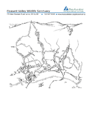
Pleasant Valley Wildlife Sanctuary Trail Map
Trail map of Pleasant Valley Wildlife Sanctuary
101 miles away

Berkshire East Ski Trail Map
Official ski trail map of Berkshire East ski area from the 2007-2008 season.
101 miles away
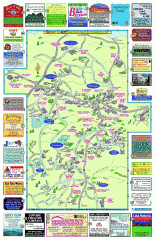
Columbia County - Boston Corners, Copake, Copake...
Tourist map of Columbia County, Mass. Includes towns of Boston Corners, Copake, Copake Falls...
101 miles away
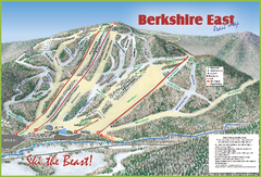
Berkshire East Ski Area Ski Trail Map
Trail map from Berkshire East Ski Area.
101 miles away
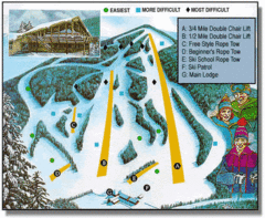
Bousquet Ski Area Ski Trail Map
Trail map from Bousquet Ski Area.
101 miles away
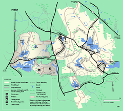
Harold Parker State Forest trail map
Trail map of Harold Parker State Forest in Massachusetts
102 miles away
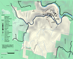
Mohawk Trail State Forest map
Map of the Mohawk Trail State Forest in Charlemont, Massachusetts.
102 miles away
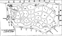
Flushing Cemetery Map
Map of the sections of Flushing Cemetery in Queens
102 miles away
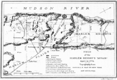
Harlem Hieghts Affair Map
Topography of the field during the battle on Sept 16 1776
102 miles away
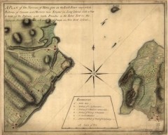
Oyster Bay and Huntington, Huntington Bay Map
A plan of the Narrows of Hells-gate in the East River, near which batteries of cannon and mortars...
102 miles away
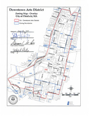
Pittsfield,, Massachusetts City Map
102 miles away
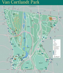
Van Cortlandt Park Trail Map
Trail map of Van Cortlandt Park in the Bronx. Covers 573 acres.
103 miles away

Queens College Campus Map
3D map of Queens College campus. All buildings shown.
103 miles away
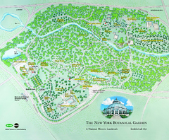
The New York Botanical Garden Map
Official Map of The New York Botanical Garden in New York. Shows all areas and different gardens.
103 miles away
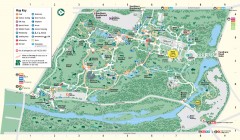
Bronx Zoo Map
Bronx Zoo. The Zoo is open 365 days a year. "Now through November 4, 2007, our hours are 10...
103 miles away

Queens Botanical Garden Map
Shows facilities and names of different gardens. In many languages.
104 miles away
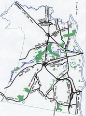
Nashua Parks Map
Map of Nashua, New Hampshire parks
104 miles away
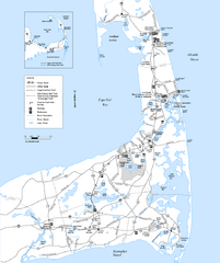
Cape Cod Rail Trail Map
Cape Cod Rail Trail map. The Cape Cod Rail Trail follows a former railroad right-of-way for 22...
104 miles away
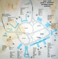
John F. Kennedy International Airport Map
Terminal and Road map of John F. Kennedy International Airport.
105 miles away
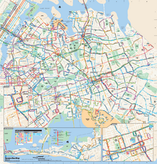
Queens, New York Bus Map
Official MTA Bus Map of Queens, NY. Shows all routes.
105 miles away
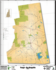
Temple NH Topo Map
Topographical map of Temple, NH area. Shows all roads and points of interest.
105 miles away
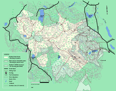
Boxford State Park trail map
Trail map of Boxford State Forest in Massachusetts
105 miles away
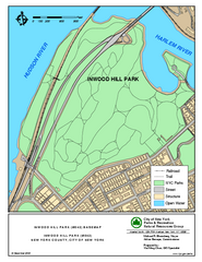
Inwood Hill Park Trail Map
Trail map of Inwood Hill Park located at the extreme northern tip of Manhattan. 136 acres.
105 miles away
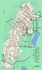
Pittsfield State Forest winter trail map
Winter use trail map of Pittsfield State Forest in Massachusetts.
105 miles away
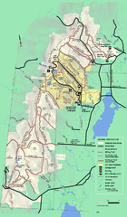
Pittsfield State Forest summer trail map
Summer use trail map of Pittsfield State Forest in Massachusetts.
105 miles away
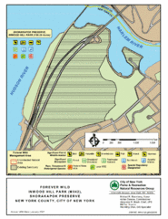
Inwood Hill Park Map
Park map of Inwood Hill Park in the Shorakapok Preserve, New York. 136 acres.
106 miles away
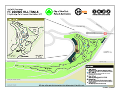
Highbridge Park mountain bike trail map
Mountain biking trail network opened in May 2007. Only mountain biking trails in Manhattan. 25...
106 miles away
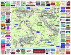
North County Berkshires map
Tourist map of North County - Pittsfield, N. Adams, Adams, Lanesboro, Cheshire, Williamstown...
106 miles away
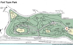
Fort Tyron Park Map
106 miles away

