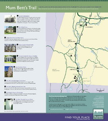
Mum Bett's Trail Map
Historic African American trail guide
87 miles away
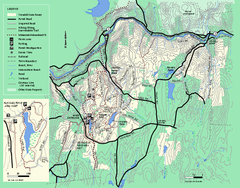
Wendell State Forest trail map
Trail map of Wendell State Forest in Massachusetts.
88 miles away
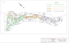
Town of Lexington Historic Districts Map
Identifies the 4 historical districts of Lexington, Massachusetts.
88 miles away
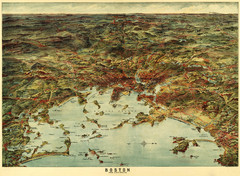
Walker's Map of Boston Harbor and Environs...
Walker's map of Boston Harbor and immediate environs from 1905.
88 miles away
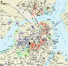
Boston National Historical Park Official Park Map
Official NPS map of Boston National Historical Park in Boston, Massachusetts. From park brochure...
88 miles away
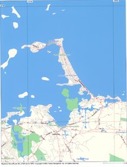
Hull Town Map
88 miles away
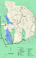
DAR State Forest winter map
Winter use map of the Daughters of the American Revolution State Forest.
89 miles away
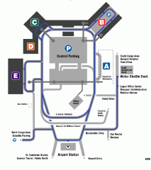
Boston/General Edward Lawrence Logan...
Terminal map of Boston/General Edward Lawrence Logan International Airport. Shows all areas.
89 miles away
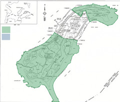
Thompson Island Easement Map
Map of Thompson Island easement. Includes roads, buildings, trails and attractions as well as the...
89 miles away
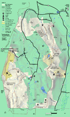
Mt. Washington State Forest trail map
Trail map of Mt. Washington State Forest
89 miles away
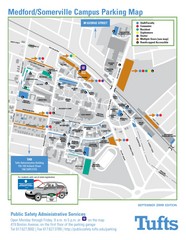
Medford Campus Map
Clear map indicating buildings and parking areas.
89 miles away
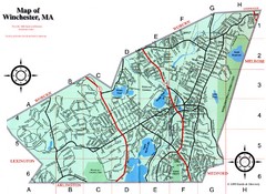
Winchester Town Map
89 miles away
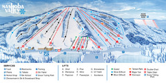
Nashoba Valley Ski Area Ski Trail Map
Trail map from Nashoba Valley Ski Area.
90 miles away
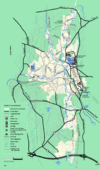
Otter River State Forest summer trail map
Summer trail map of the Otter River State Forest area in Massachusetts.
91 miles away
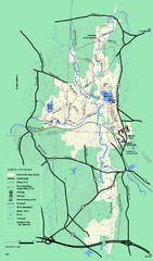
Otter River State Forest winter trail map
Winter usage trail map for Otter River State Park in Massachusetts.
91 miles away
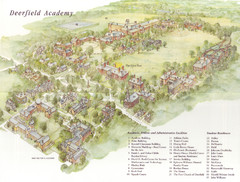
Deerfield Academy Campus Map
Shows buildings and facilities of Deerfield Academy. Scanned.
91 miles away
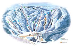
Butternut Ski Area Ski Trail Map
Trail map from Butternut Ski Area.
91 miles away
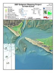
Esther Island Map
DEP Eelgrass map of Esther Island, Nantucket
91 miles away
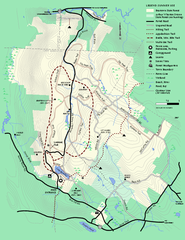
Beartown State Park Summer Map
Summer Map of Beartown State Park in Massachusetts.
91 miles away
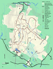
Beartown State Park Winter Map
Winter use map of Beartown State Park in Massachusetts
92 miles away
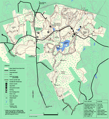
Great Brook Farm State Park trail map
Trail map of Great Brook Farm State Park.
92 miles away
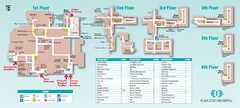
Cape Cod Hospital Map
Campus map of Cape Cod Hospital
92 miles away

Cape Cod Hospital Map
Map of external vicinity of Cape Cod Hospital
92 miles away
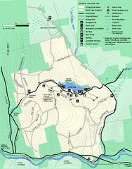
Erving Summer trail map
Summer use map of Erving State Park in Massachusetts.
92 miles away
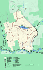
Erving State Park winter use map
Winter use map of the Erving State Park in Massachusetts
92 miles away
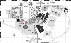
Nassau Community College Map
Campus Map
93 miles away
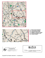
Greater Merrimack Valley, Massachusetts Map
Tourist map of greater Merrimack Valley, Massachusetts. Lodging, forests, and other points of...
93 miles away
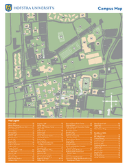
Hofstra University Campus Map
93 miles away
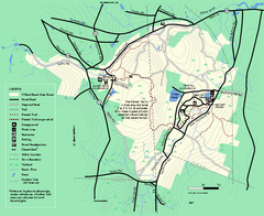
Willard Brook State Forest trail map
Trail map of Willard Brook State Forest in Massachusetts.
94 miles away
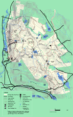
October Mountain State Forest trail map
Trail map of October Mountain State Forest in Massachusetts.
94 miles away
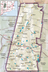
Berkshires Map
Overview map of the Berkshires region of Western Massachusetts
94 miles away
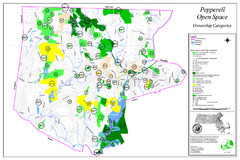
Pepperell Conservation Land and Open Spaces Map
Map showing conservation land and open spaces in Pepperell, MA.
96 miles away
Mt. Watatic to Wachusett Mountain, Massachusetts...
96 miles away
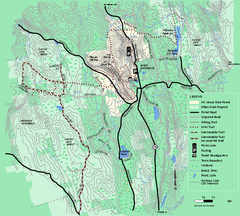
Mt. Grace State Forest trail map
Trail map of Mt. Grace State Forest near Warwick, Massachusetts.
96 miles away
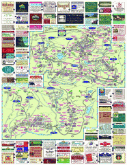
South County Berkshires map
Tourist map of Great Barrington, Housatonic, Sheffield, S. Egremont, N. Egremont Lenox, Stockbridge...
97 miles away
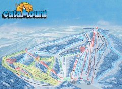
Catamount Ski Trail Map
Official ski trail map of Catamount ski area from the 2006-2007 season.
97 miles away
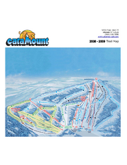
Catamount Ski Area Ski Trail Map
Trail map from Catamount Ski Area.
97 miles away
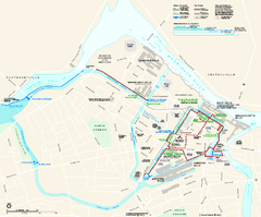
Lowell National Historical Park Official Map
Official NPS map of Lowell National Historical Park in Lowell, Massachusetts. Map shows all of...
98 miles away
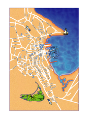
Nantucket Town Street Map
Tourist map of town of Nantucket on Nantucket Island. Shows major streets and points of interest...
98 miles away

