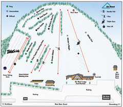
Ski Ward Ski Trail Map
Trail map from Ski Ward.
70 miles away
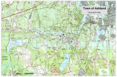
Ashland, MA - Topo Map
Map is provided by the town of Ashland, MA. See town's website for additional maps and...
71 miles away
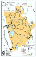
Collis P. Huntington State Park map
Trail map of Collis P. Huntington State Park in Connecticut
71 miles away
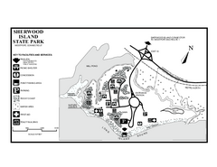
Sherwood Island State Park map
Trail and campground map of Sherwood Island State Park in Connecticut.
71 miles away
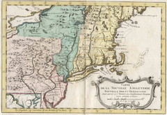
1773 New England Map
French map of New England
72 miles away
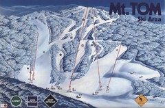
Mount Tom Ski Trail Map
Trail map from Mount Tom, which provides downhill skiing. This ski area opened in 1962.
72 miles away
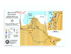
Mount Tom State Park trail map
Trail map of Mt. Tom State Park in Connecticut.
72 miles away
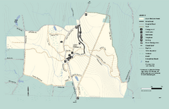
Granville State Forest trail map
Trail map of Granville State Forest in Massachusetts
72 miles away
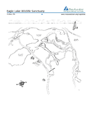
Eagle Lake Conservation Area Map
72 miles away
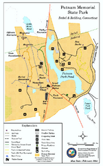
Putnam Memorial State Park map
Trail map for Putnal Memorial State Park in Connecticut,
72 miles away
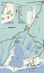
Waquoit Bay National Estuarine Research Preserve...
Trail map of Waquoit Bay National Estuarine Research Preserve in Massachusetts.
73 miles away
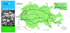
Devil's Den Preserve Map
73 miles away
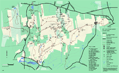
Mount Holyoke Range State Park Map
Trail map of Holyoke Range State Park.
73 miles away
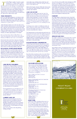
Mt. Pisgah Map - Northboro, Berlin, Boylston Mass
75 miles away
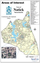
Natick Areas Of Interest Map
Shows points of interest in town of Natick, Massachusetts. Inset of downtown Natick.
75 miles away
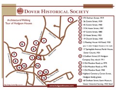
Dover Architectural Walking Map
Architectural walking tour of Hodgson Houses
75 miles away
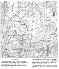
Trout Brook Conservation Area Map
75 miles away
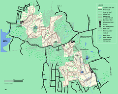
Callahan State Park trail map
Trail map of Callahan State Park in Massachusetts
75 miles away
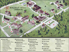
Walnut Hill School Map
Campus Map
75 miles away

South Mohawk Mountain State Forest (Winter Trails...
Winter trial map for the Southern Section of Mohawk Mountain State Forest in Connecticut.
75 miles away
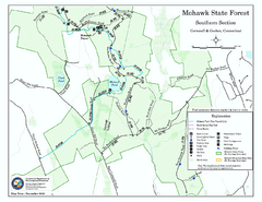
South Mohawk Mountain State Forest (Summer Trails...
Summer trails for South Mohawk State Forest in Connecticut.
76 miles away
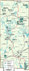
Midstate Trail Map
Map of the Midstate Trail, which runs from Ashburnham to the Rhode Island border. Shows state...
76 miles away
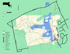
Ames Nowell State Park Map
Simple map of this beautiful state park. Visit and hike, bike, and shop!
76 miles away
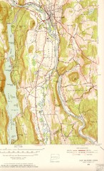
New Milford, Connecticut Map
New Milford, Connecticut topo map with roads, streets and buildings identified
76 miles away
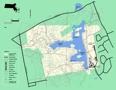
Ames Nowell State Park Map
Trail map of Ames Nowell State Park in Massachusetts
76 miles away
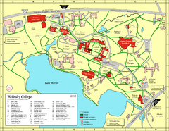
Wellesley College campus map
2008 Wellesley College campus map
76 miles away
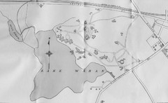
1899 Map of Wellesley College
After College Hall, the original site of Wellesley's faculty, students, classrooms, and...
76 miles away
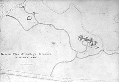
1870s Map of Wellesley College
General plan of college grounds, 1870s.
76 miles away
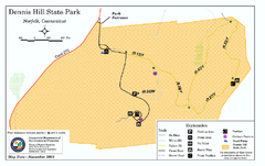
Dennis Hill State Park map
Trail map of Dennis Hill State Park in Connecticut.
77 miles away

North Mohawk Mountain State Forest (Winter Trails...
Winter trail map for North Mohawk Mountain State Forest in Connecticut.
77 miles away

North Mohawk Mountain State Forest (Summer Trails...
Summer trail map of the North section of Mohawk Mountain State Forest in Connecticut.
77 miles away
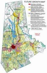
Danbury Regional Growth Map
Guide to future growth of Danbury, CT and surrounds
77 miles away
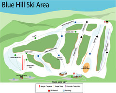
Blue Hills Ski Area Ski Trail Map
Trail map from Blue Hills Ski Area.
77 miles away
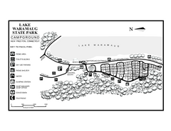
Lake Waramaug State Park campground map
Campground map of Lake Waramaug State Park.
77 miles away
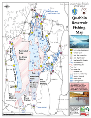
Quabbin Reservoir Fishing Map
Fishing access map of Quabbin Reservoir. Shows all ponds and submerged ponds.
77 miles away
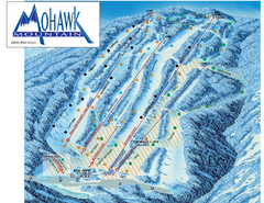
Mohawk Mountain Ski Trail Map
Ski trail map of Mohawk Mountain ski area
77 miles away
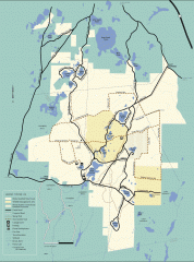
Myles Standish State Forest winter trail map
Winter activity map of all the trails and roads in Myles Standish State Park, MA. Cross country...
78 miles away
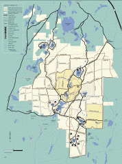
Myles Standish State Forest summer trail map
Map of all the trails and roads in Myles Standish State Park, MA. 15 miles of bicycle trails, 35...
78 miles away
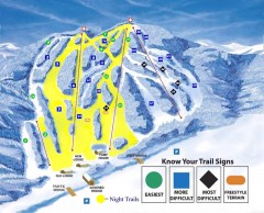
Blandford Ski Trail Map
Official ski trail map of Blandford ski area
78 miles away
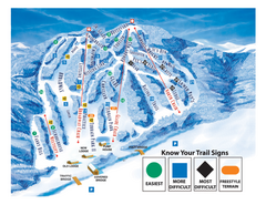
Blandford Ski Area Ski Trail Map
Trail map from Blandford Ski Area.
78 miles away

