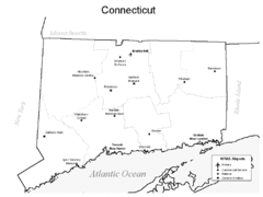
Conneticut Airports Map
60 miles away
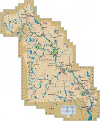
Blackstone Valley tourist map
Tourist map of the Blackston Valley in Rhode Island and Massachusetts. Shows hiking, biking, and...
61 miles away
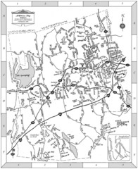
Middlebury, Connecticut Map
61 miles away
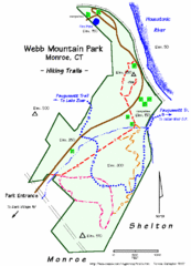
Webb Moutain Park Map
61 miles away

Palmer Motorsports Park Map
Track Map for Proposed Palmer Motorsports Park
61 miles away
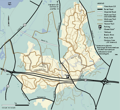
Wrentham State Forest trail map
Trail map of Wrentham State Forest in Massachusetts.
61 miles away
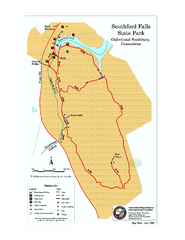
Southford Falls State Park map
Trail map for Southford Falls State Park in Connecticut.
62 miles away
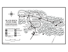
Black Rock Campground map
Map of the Campgrounds in Black Rock State Park.
62 miles away
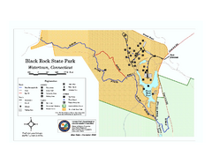
Black Rock State Park trail map
Trail map of Black Rock State Park in Connecticut.
63 miles away
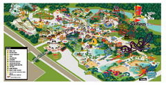
Six Flags New England Theme Park Map
Official Park Map of Six Flags New England in Massachusetts.
63 miles away
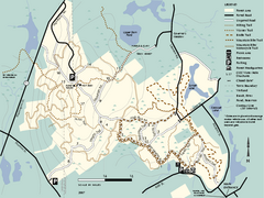
F. Gilbert Hills State Forest trail map
F. Gilbert Hills State Forest trail map in Massachusetts.
63 miles away
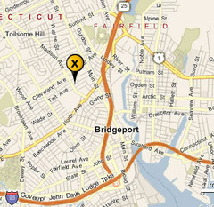
Bridgeport, Connecticut City Map
63 miles away
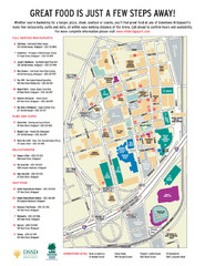
Arena at Harbor Yard Restaurants Map
List of many delicious restaurants and eateries.
63 miles away
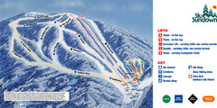
Ski Sundown Ski Trail Map
Trail map from Ski Sundown, which provides downhill and night skiing. It has 5 lifts servicing 15...
64 miles away
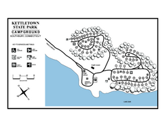
Kettletown State Park campground map
Campground map for Kettletown State Park in Connecticut.
64 miles away
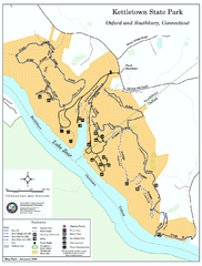
Kettletown State Park trail map
Trail map for Kettletown State Park in Connecticut.
64 miles away
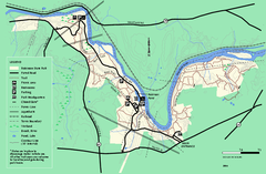
Robinson State Park trail map
Trail map of Robinson State Park in Massachusetts.
64 miles away
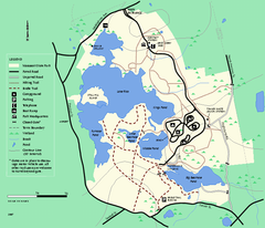
Massasoit State Park trail map
Trail map of Massasoit State Park in Massachusetts
65 miles away
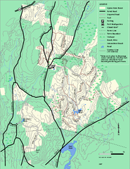
Upton State Forest trail map
Trail map for Upton State Forest in Massachusetts.
65 miles away
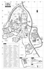
Stony Brook University Map
65 miles away
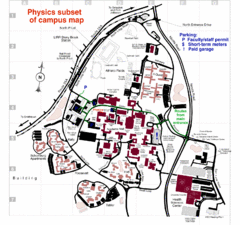
University of New York at Stony Brook Campus Map
66 miles away
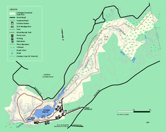
Chicopee State Park trail map
Chicopee State Park trail map
66 miles away

Topsmead State Forest map
Trail map for Topsmead State Forest in Connecticut.
67 miles away
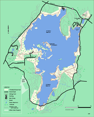
Whitehall State Park trail map
Trail map of Whitehall State Park in Massachusetts.
67 miles away
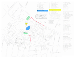
Worcester Polytechnic Institute Campus Map
Map of Worcester Polytechnic Institute. Includes all buildings, parking, streets, and location of...
67 miles away
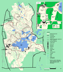
Borderland State Park trail map
Trail map of Borderland State Park in Massachusetts
68 miles away
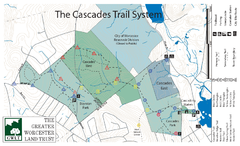
Cascades Park Map
68 miles away
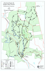
American Legion State Forest trail map
Trail map of American Legion and Peoples State Forests in Connecticut.
68 miles away
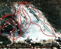
Woodbury Ski Area Ski Trail Map
Trail map from Woodbury Ski Area, which provides downhill, night, nordic, and terrain park skiing...
68 miles away
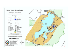
Burr Pond State Park map
Map of Burr Pond State Park in Connecticut.
69 miles away
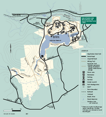
Hopkinton State Park trail map
Trail map of Hopkinton State Park in Massachusetts
69 miles away
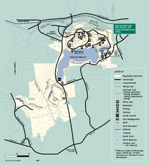
Hopkinton State Park trail map
Trail map of Hopkinton State Park in Massachusetts
69 miles away
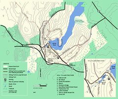
Moore State Park trail map
Trail map of Moore State Park in Massachusetts.
69 miles away
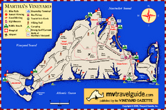
Martha's Vineyard Island Map
Tourist map of island of Martha's Vineyard, Massachusetts.
70 miles away
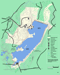
Ashland State Park Map
Map of Ashland State Park in Massachusetts.
70 miles away
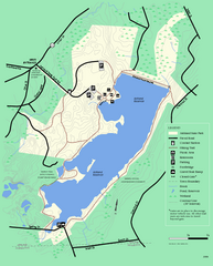
Ashland State Park Map
Clear map and legend marking trails, parking, facilities and more.
70 miles away
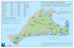
Martha's Vineyard Watershed Map
70 miles away
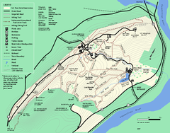
Mt. Tom State Reservation trail map
Trail map of Mt. Tom State Reservation
70 miles away
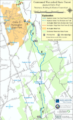
Centennial Watershed State Forest trail map
Trail map of Centennial Watershed State Forest in Connecticut
70 miles away
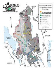
Trout Brook Valley Map
70 miles away

