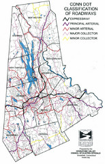
Connecticut Roadway Classification Map
48 miles away
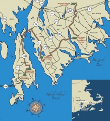
Southeastern New England Wine Trail Map
Map of the Southeastern New England Wine Trail, showing all vineyards and wineries that are members...
48 miles away
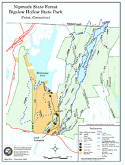
Nipmuck State Forest trail map
Trail map of Nipmuck State Forest and Bigelow Hollow State Park in Connecticut.
48 miles away
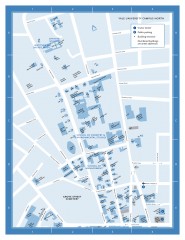
Yale University Campus North Map
Yale University Campus Map - North Campus, including School of Forestry & Environmental Studies...
48 miles away
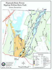
Bigelow Hollow State Park trail map
Trail map of Bigelow Hollow State Park in Connecticut.
49 miles away

Yale University Map
49 miles away
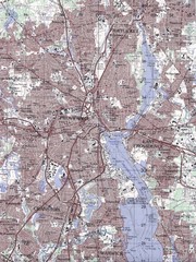
Providence Topo Map
Topo map of Providence, East Providence, Cranston, and Pawtucket, RI. Original scale 1:50,000
49 miles away
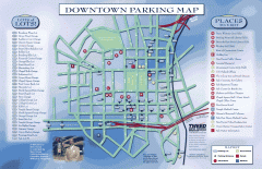
Downtown New Haven Parking Map
Shows locations of all town parking lots and also points of interest
49 miles away
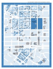
Yale University Campus South and Medical Center...
Yale University Campus South and Medical Center, including the Hewitt Quad, Cross Campus, Old Campus
49 miles away
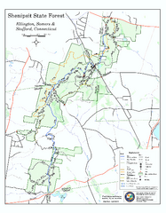
Trail map of Shenipsit State Forest
Trail map of Shenipsit State Forest in Connecticut.
50 miles away
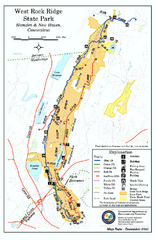
West Rock Ridge State Park map
Trail map of West Rock Ridge State Park in Connecticut.
51 miles away
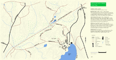
Douglas State Park Detail Map
52 miles away
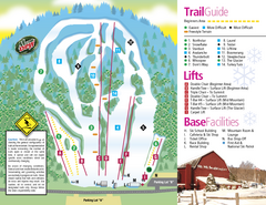
Mt. Southington Ski Area Ski Trail Map
Trail map from Mt. Southington Ski Area, which provides downhill, night, and terrain park skiing...
52 miles away
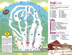
Mount Southington Ski Trail Map
Official ski trail map of Mount Southington ski area from the 2007-2008 season.
52 miles away
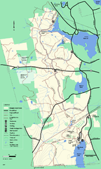
Douglas State Forest trail map
Trail map of the Douglas State Forest in Massachusetts
52 miles away

Mine Brook Wildlife Management Area Map
52 miles away
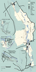
Blackstone Trail Map
Map of Blackstone River State Park in Massachusetts.
54 miles away
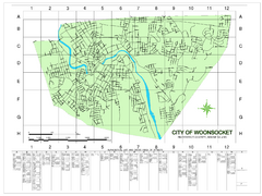
Woonsocket Street Map
Street map of Woonsocket, Rhode Island. Shows street legend.
54 miles away
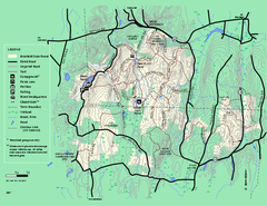
Brimfield State Forest trail map
Trail map of Brimfield State Forest in Massachusetts
55 miles away
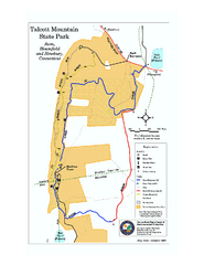
Talcott Mountain State Park map
Trail map of Talcott Mountain State Park in Connecticut.
55 miles away
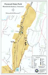
Penwood State Park map
Trail map of Penwood State Park in Connecticut.
56 miles away
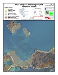
Penekese Island Eelgrass Map
56 miles away
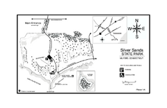
Silver Sands State Park map
Trail and campground map of Silver Sands State Park in Connecticut.
57 miles away

Urban Neighborhood Map: Long Island Map
This Urban Neighborhood Poster of Long Island is a modern twist on traditional maps. The typography...
57 miles away
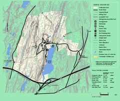
Wells State Park trail map
Trail map of Wells State Park in Massachusetts.
58 miles away
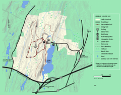
Wells State Park winter trail map
Winter use trail map of Wells State Park in Massachusetts.
58 miles away
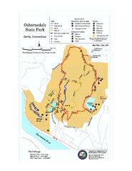
Osbornedale State Park map
Trail map of Osborndale State Park in Connecticut.
58 miles away
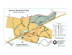
Stratton Brook State Park map
Trail map of Stratton Brook State Park in Connecticut.
58 miles away
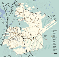
Freetown-Fall River State Forest trail map
Trail map of Freetown-Fall River State Forest in Massachusetts
58 miles away
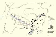
Purgatory Chasm State Reservation trail map
Trail map of Purgatory Chasm State Reservation in Massachusetts.
58 miles away
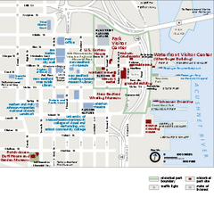
New Bedford Whaling National Historical Park...
Official NPS map of New Bedford Whaling National Historical Park in Massachusetts. Map shows all...
58 miles away
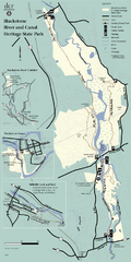
Heritage State Park Map
Clear state park map marking trails and facilities.
58 miles away
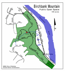
Birchbank Park Map
Several miles of moderately difficult trails along the Housatonic River bluff, including the...
59 miles away
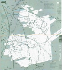
Freetown State Forest Map
Freetown State Forest Map showing mountain biking trails
59 miles away
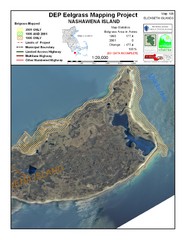
Nashawena Island Eelgrass Map
59 miles away
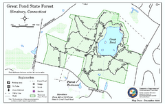
Great Pond State Park trail map
Trail map of Great Pond State Forest in Connecticut.
60 miles away
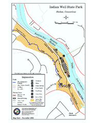
Indian Well State Park map
Trail map for Indian Well State Park in Connecticut.
60 miles away
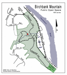
Birchbank Park Map
60 miles away
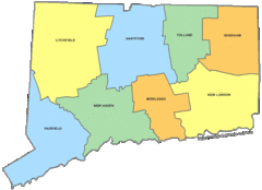
Connecticut Counties Map
60 miles away
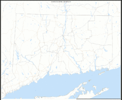
Connecticut Zip Code Map
Check out this Zip code map and every other state and county zip code map zipcodeguy.com.
60 miles away

