Conanicut Island Land Trust Map
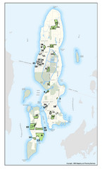
Shows 430 acres of property on Conanicut Island, RI stewarded by the Conanicut Island Land Trust
35 miles away
Rhode Island Road Map
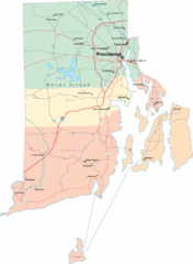
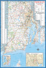
Official Rhode Island state highway map. Insets show Newport and Providence.
35 miles away
Mansfield Conservation and Development Map
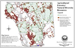
Guide to Agricultural, Forestry and Natural Diversity Resources
36 miles away

Mansfield Cemetery Map
36 miles away
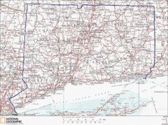
Connecticut State Parks Map
This is statewide map for Connecticut state parks. Go to the source website for detailed hiking...
36 miles away
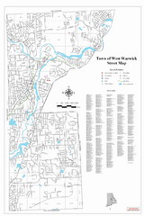
West Warwick Town Map
Street map of W. Warwick
36 miles away
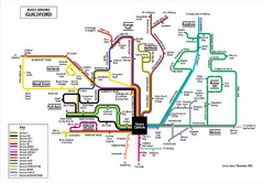
Guilford Bus Services Map
36 miles away
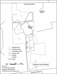
Parker Farm Trail Map
36 miles away
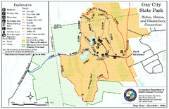
Gay City State Park trail map
Trail map of Gay City State Park in Connecticut.
37 miles away
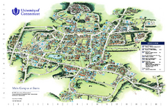
University of Connecticut - Storrs Campus Map
University of Connecticut - Storrs Campus Map. All areas shown.
37 miles away
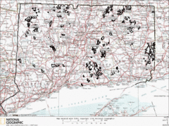
Connecticut State Forests Map
This is a map of all of the state forest boundaries in Connecticut. Follow the source web address...
37 miles away
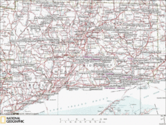
Connecticut Canoeing and Kayaking Lakes Map
A map of the lakes and ponds that are open for canoeing and kayaking in Connecticut. For detailed...
37 miles away
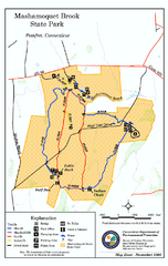
Mashamoquet Brook State Park trail map
Trail map of Mashamoquet Brook State Park in Connecticut.
37 miles away
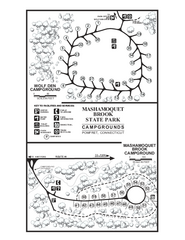
Mashamoquet Brook State Park campground map
Campground map of Mashamoquet Brook State Park in Connecticut.
37 miles away
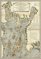
Narrangansett Bay Map 1777
"A Topographical CHART of the BAY of NARRAGANSET in the Province of NEW ENGLAND. with the...
39 miles away
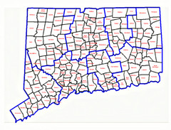
Connecticut Town Map
39 miles away
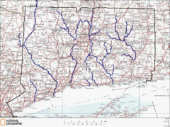
Connecticut Rivers and Coastal Paddling Map
This is a map of paddling areas for rivers and coastal kayaking. Follow the link below for...
39 miles away
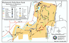
Wadsworth Falls State Park map
Trail map of Wadsworth Falls State Park in Connecticut.
39 miles away
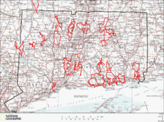
Connecticut Road Cycling Routes Map
A map of road cycling routes throughout Connecticut. Follow the link below for detailed route maps...
39 miles away
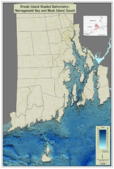
Rhode Island Shaded Bathymetry Map
Bathymetric map of Rhode Island with Narrangansett Bay and Rhode Island Sound. Graduated...
39 miles away
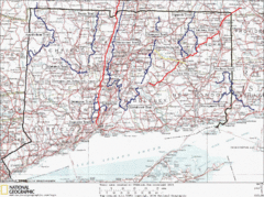
Connecticut Long Distance Trails Map
A map of long distance trails throughout Connecticut. Go to the website below for detailed trail...
41 miles away
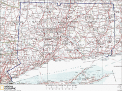
Connecticut Rock Climbing Locations Map
A map of most of the important rock climbing and bouldering areas in Connecticut. Click the link...
41 miles away
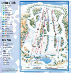
Powder Ridge Ski Area Ski Trail Map
Trail map from Powder Ridge Ski Area.
41 miles away
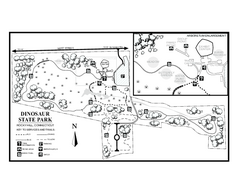
Dinosaur State Park map
Trail map of Dinosaur State Park in Connecticut.
42 miles away
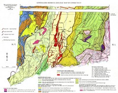
Connecticut Geologic Map
Geologic map of Connecticut bedrock. Shows shaded terranes, fault lines, and Mesozoic formations.
42 miles away
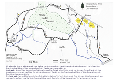
Sprague Farm - Glocester Land Trust Map
44 miles away
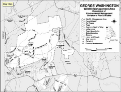
George Washington Wildlife Management Area Map
44 miles away
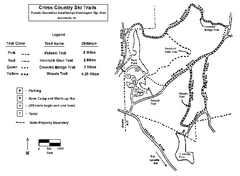
Pulaski State Park Map
44 miles away
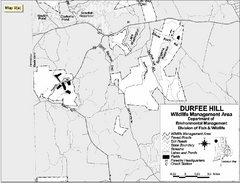
Durfee Hill Wildlife Management Area Map
44 miles away
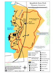
Quaddick State Park Trail Map
45 miles away
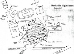
Rockville High School Map
Hand-drawn map of Rockville High School includes all buildings, Parking Lots, and sports fields.
46 miles away
Appalachian National Scenic Trail Map
Scenic trail Maine to Georgia
46 miles away
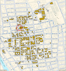
Providence, Rhode Island City Map
47 miles away
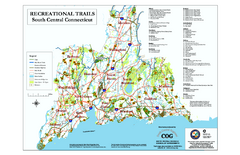
South Central Connecticut Recreational Trail Map
Map of South Central Connecticut showing all recreational trails and open spaces.
47 miles away
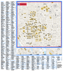
Brown University Campus Map
Official campus map of Brown University.
47 miles away
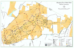
Sleeping Giant State Park map
Trail map for Sleeping Giant State Park in Connecticut.
47 miles away
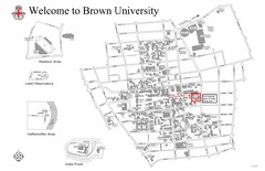
Brown University Map
47 miles away

Wadsworth Athenium Museum Location Map
Wadsworth Athenium visitor location map with locations of major buildings, streets, parks, and...
47 miles away
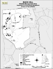
Buck Hill Wildlife Management Area Map
47 miles away

