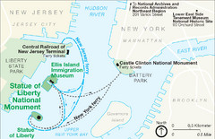
Statue of Liberty National Monument Map
Official NPS map of Statue of Liberty National Monument. Shows Statue of Liberty, Ellis Island, and...
115 miles away
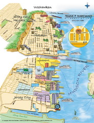
Jersey City, New Jersey City Map
Sketch of Jersey City and Hoboken, New Jersey
115 miles away
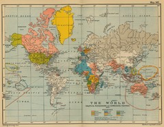
Colonial Posessions and Commercial Highways 1910...
Historical world map (1910) of various colonization and highway expansion
115 miles away
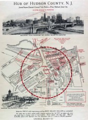
Antique map of Jersey City from 1925
Antique map of Jersey City, New Jersey from 1925.
115 miles away
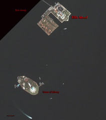
Ellis Island and Statue of Liberty Map
Aerial map of Ellis Island and the Statue of Liberty
115 miles away
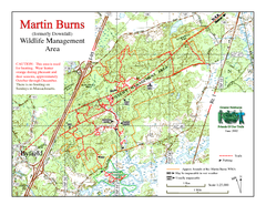
Downfall/Martin Burns WMA Map
115 miles away
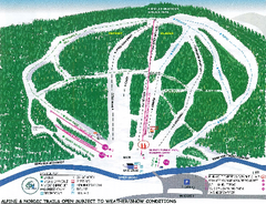
Granite Gorge Ski Trail Map
Trail map from Granite Gorge. This ski area opened in 2005.
115 miles away
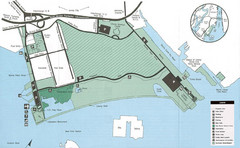
Liberty State Park Map
Map of Liberty State Park, New Jersey on the New York Harbor and next to Ellis Island. Shows...
116 miles away
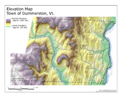
Elevation Map of Dummerston, Vermont
This Hypsometric map is a map that distinguishes elevations progression within a specific...
116 miles away
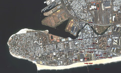
Coney Island Map
Aerial photo Coney Island map
116 miles away
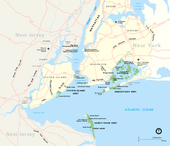
Gateway National Recreation Area Map
Park map of lands in the NPS Gateway National Recreation Area in New York and New Jersey. Shows...
116 miles away
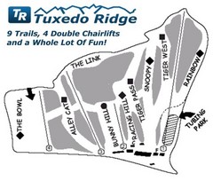
Tuxedo Ridge Ski Trail Map
Trail map from Tuxedo Ridge.
116 miles away
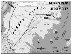
Jersey City Map
117 miles away
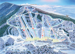
Crotched Mountain Ski Trail Map
Trail map from Crotched Mountain.
118 miles away
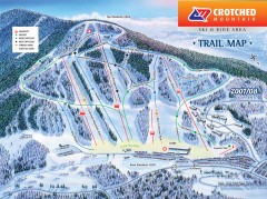
Crotched Mountain Ski Trail Map
Official ski trail map of Crotched Mountain ski area from the 2007-2008 season.
118 miles away
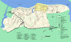
Maudslay State Park trail map
Trail Map of Maudslay State Park in Massachusetts.
118 miles away
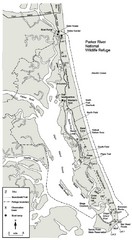
Parker River Map
Map of Parker River National Wildlife Refuge for birdlife
119 miles away
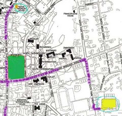
Manchester, New Hampshire City Map
119 miles away
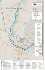
Newark Light Rail system Map
Newark Light rail system
120 miles away
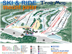
Mt. Peter Ski Area Ski Trail Map
Trail map from Mt. Peter Ski Area.
120 miles away
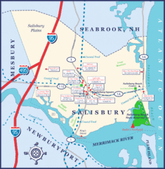
Salisbury Town Map
120 miles away
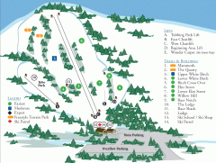
McIntyre Ski Trail Map
Official ski trail map of McIntyre ski area.
121 miles away
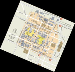
Rutgers University Map
121 miles away
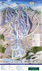
Haystack Club Ski Trail map
Official ski trail map of Haystack ski area from the 2006-2007 season.
121 miles away
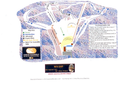
Arrowhead Arrowhead Ski Trail Map
Trail map from Arrowhead.
122 miles away
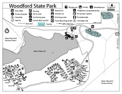
Woodford State Park Campground Map
Campground map for Woodford State Park in Vermont
122 miles away
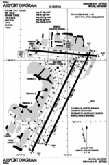
Newark Liberty International Airport Map
122 miles away
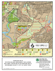
Staten Island Greenbelt Map
122 miles away
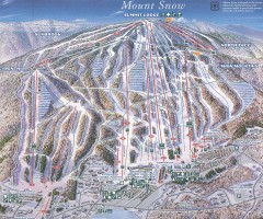
Mount Snow Trail Map 2001
Ski trail map of Mount Snow ski area, estimated 2001
123 miles away
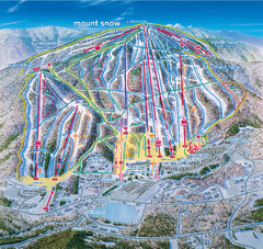
Mount Snow Ski Trail Map - main face
Trail map of main face of Mt Snow ski area near Wilmington, Vermont
123 miles away
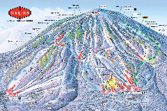
Stratton Mountain Resort Ski Trail Map
Trail map from Stratton Mountain Resort.
123 miles away
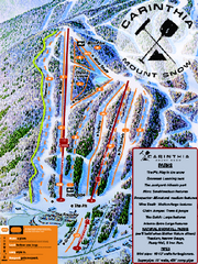
Mount Snow Carinthia Terrain Park Ski Trail Map
Trail map from Mount Snow.
124 miles away

Staten Island Subway/Railway Map
124 miles away
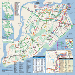
Staten Island Bus Map
Official Bus Map of Staten Island. Shows all routes.
124 miles away
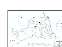
Townshend State Park Campground Map
Campground map of Townshend State Park in Vermont
125 miles away
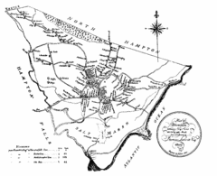
Hampton NH Map 1806
1806 map of Hampton, NH. Shows roads and settlements.
127 miles away
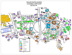
Phillips Exeter Academy Campus Map
Phillips Exeter Academy Campus Map
127 miles away
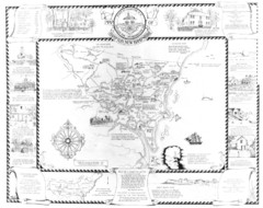
Hampton, New Hampshire Historical Map
Historical map of Hampton, New Hampshire. Illustrated map includes roads and historical buildings.
128 miles away
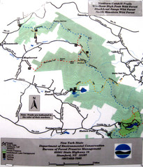
Northern Catskill Trail Map
Trail map shows hiking trails in the northern Catskills of New York. Shows trails in Windham High...
128 miles away
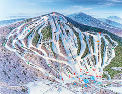
Pats Peak Ski Map
ski trail map of pats peak ski area
128 miles away

