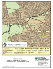
Forest Park Preserve Map
Map of Forest Park Preserve, Queens County, City of New York. 538 acres of trees and fields
106 miles away
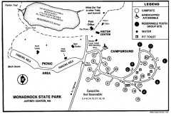
Monadnock State Park map
Campground map of Monadnock State Park in New Hampshire
106 miles away
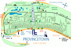
Provincetown, Massachusetts Map
Tourist map of Provincetown, Massachusetts. Shows beaches, visitor's center, bike trails, and...
106 miles away
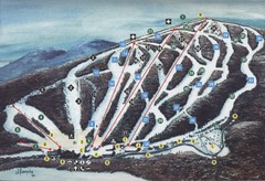
Brodie Ski Trail Map
Trail map from Brodie.
106 miles away
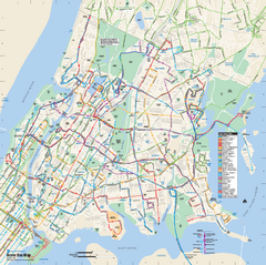
Bronx, New York Bus Map
Official MTA Bus Map of all of the Bronx, New York. Shows all routes.
106 miles away
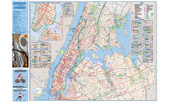
NYC Biking Route Map (Manhattan & Queens)
Official NYC biking map of Manhattan and Queens.
106 miles away
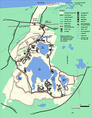
Nickerson State Park trail map
Trail map of Nickerson State Park in Massachusetts.
107 miles away
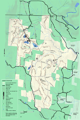
Savoy Mountail trail map
Trail map for Savoy Mountain in Massachusetts.
107 miles away
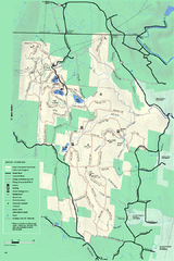
Savoy Mountain winter map
Winter use map of Savoy Mountain in Massachusetts.
107 miles away
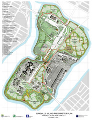
Randall's Island Park Map
Master plan for Randall's Island Park
107 miles away
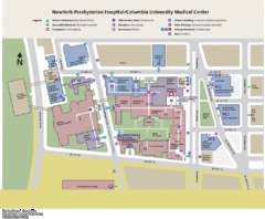
Columbia University Medical Center Map
107 miles away
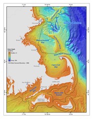
Massachusetts Bay sea floor Map
107 miles away

Manhattan Waterfront Greenway Bike Map
Bike map of the Manhattan Waterfront Greenway. Shows walking and biking paths, ferry landings and...
107 miles away
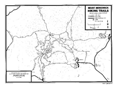
Mount Monadnock State Park Map
Official hiking map of the park. With its thousands of acres of protected highlands, 3,165-ft...
107 miles away
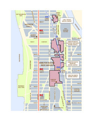
Hamilton Heights West Harlem Map
Hamilton Heights - West Harlem, New York City community map
107 miles away
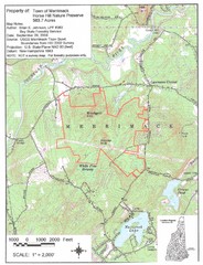
Merrimack Topo Map
A Topographical map Horse Hill Nature Preserve.
108 miles away
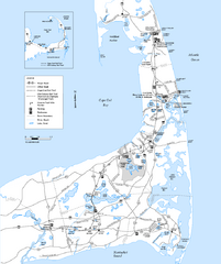
Cape Cod Rail Trail, Cape Cod, Massachusetts Map
Map of the Cape Cod Rail Trail bike path. Shows trails, restrooms, other roads and parking.
108 miles away
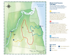
Black Creek Trail Preserve Map
Trail map of Black Creek Preserve on the Hudson River in New York. Shows Yellow Trail, Red Trail...
108 miles away
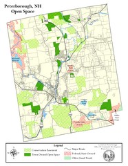
Peterborough Open Space Map
Map of open space lands in Peterborough, New Hampshire
108 miles away
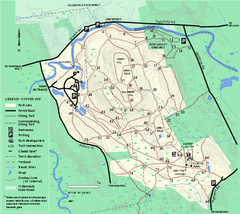
Bradley Palmer State Park winter map
Winter trail map of Bradley Palmer State Park.
108 miles away

Broadway Elevation Map
Illustrative section of Broadway, from 125th Street to 134th Street, looking east
108 miles away
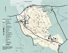
Bradley Palmer State Park summer map
Summer use map of Bradley Palmer State Park in Massachusetts
108 miles away
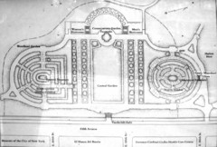
Central Park Conservatory Garden Map
Map of the Conservatory Garden in Central Park, New York City. Photo of outdoor map.
108 miles away
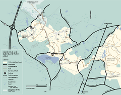
Willowdale State Forest map of Hood Pond
Trail map of the Hood Pond area of the Willowdale State Park in Massachusetts.
109 miles away
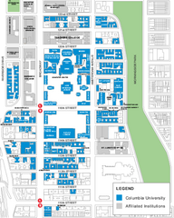
Columbia University Map
Campus map of Columbia University. All buildings shown.
109 miles away
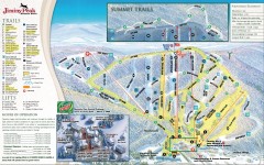
Jiminy Peak Ski Trail Map
Official ski trail map of Jiminy Peak ski area from the 2007-2008 season.
109 miles away
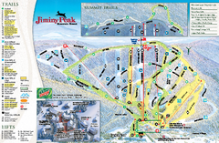
Jiminy Peak Resort Ski Trail Map
Trail map from Jiminy Peak Resort.
109 miles away
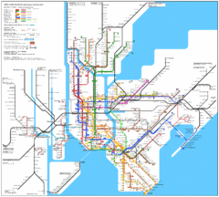
New York Subway Map
The subway and nearby railways in New York City
109 miles away
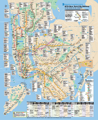
New York City MTA Subway Map
Official subway map for New York City
109 miles away

Manhattan Bus Map
109 miles away
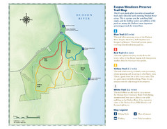
Esopus Meadows Preserve Trail Map
Trail map of Esopus Meadows Preserve park on the Hudson River.
109 miles away
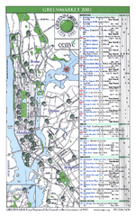
Green Markets in NYC Map
A map of all the green markets in the 5 boroughs of New York City.
109 miles away
Upper Riverside Park Map
Riverside Park Map, Visitor Information as well as streets, bus routes, places to jog and bike.
109 miles away
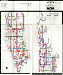
1974 Manhattan Bus Map
109 miles away
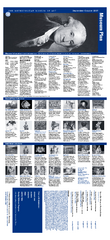
The Metropolitan Museum of Art Floor Plan Map
Official Floor Plan for the Metropoltan Museum of Art in New York City. All areas and exhibits...
109 miles away
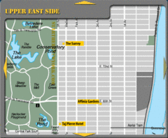
Upper East Side New York Hotel Map
109 miles away
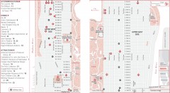
Uptown Manhattan, New York Map
Tourist map of uptown Manhattan in New York City, New York. Attractions, accommodations, and...
109 miles away
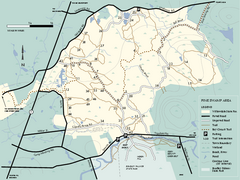
Willowdale State Forest map of Pine Swamp
Trail map of the Pine Swamp area of Willowdale State Park in Massachusetts.
109 miles away
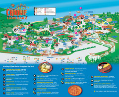
Canobie Lake Park Map
109 miles away

