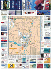
Snohomish tourst map
Tourist map of Snohomish, Washington. Shows all businesses.
245 miles away
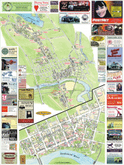
Snohomish tourist map
Snohomish, Washington tourist map. Shows all businesses.
245 miles away

Centennial Trail Map
Centennial Trail has 23 miles completed (Snohomish to Bryant) with more in progress.
245 miles away

Helena, Montana City Map
245 miles away
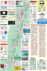
Milton tourist map
Tourist map of Milton, Washington. Shows all businesses.
245 miles away
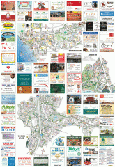
Kirkland tourist map
Kirkland, Washington tourist map. Shows all businesses.
245 miles away
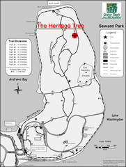
Seward Park Trails Map
Map of the trails in Seward Park, a 300-acre park on a peninsula in the south Seattle, WA area.
245 miles away
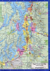
Seattle, Washington City Map
245 miles away
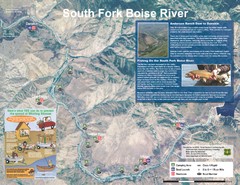
South Fork Boise River Map
Map of the South Fork of the Boise River from Anderson Ranch Dam to Neal Bridge. Premier wild...
246 miles away
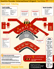
SeaTac Airport Map
246 miles away
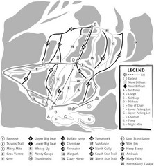
Teton Pass Ski Area Ski Trail Map
Trail map from Teton Pass Ski Area.
246 miles away
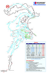
Telemark Cross Country Ski Trail Map
Trail map from Telemark Cross Country, which provides nordic skiing. This ski area has its own...
246 miles away

Tourist map of Downtown Des Moines, Washington
Tourist map of Downtown Des Moines, Washington. Shows all businesses.
247 miles away

Des Moines Washington tourist map
Tourist map of Des Moines, Washington, including Kent and SeaTac airport.
247 miles away
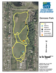
Genesee Park Trail Map
Trail map of Genesee Park in Mt Baker, Seattle, WA
247 miles away
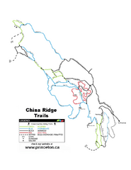
China Ridge XC Ski Trail Map
Trail map from China Ridge XC, which provides nordic skiing.
247 miles away
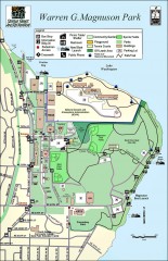
Warren G. Magnuson Park Map
Map of Warren G. Magnuson Park Warren G. Magnuson Park sits on a splendid mile-long stretch of...
247 miles away
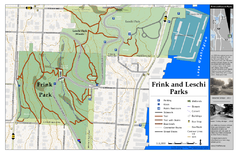
Frink Park and Leschi Park Map
248 miles away
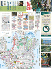
Greater Madison tourist map
Tourist map of Greater Madison, Washington. Shows all businesses.
248 miles away
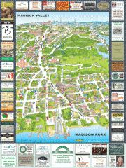
Madison Park tourist map
Tourist map of Madison Park, Washington. Shows all businesses.
248 miles away
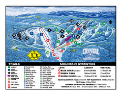
Crystal Mountain Resort Ski Trail Map
Trail map from Crystal Mountain Resort, which provides downhill skiing. This ski area has its own...
248 miles away
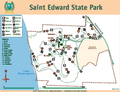
Saint Edward State Park Map
Map of park with detail of trails and recreation zones
248 miles away

Washington Park Arboretum Trail Map
Trail map of Washington Park Arboretum in Seattle.
248 miles away
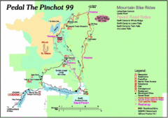
Pedal the Pinchot Bike Ride Route Map
Route Map for the Pedal the Pinchot 99 bike ride - annotated on a Park trail map.
249 miles away
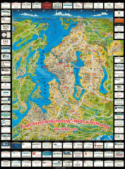
Puget Sound biotech map
Map of Puget Sound area biotechnology companies.
249 miles away
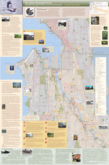
Duwamish River Community Map
This is a printed map, 32" X 40", created for the Duwamish River Cleanup Coalition in...
249 miles away
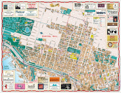
Capitol Hill tourist map
Tourist map of Capitol Hill in Seattle, Washington. Shows all businesses.
249 miles away
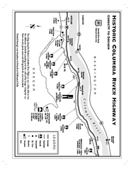
Historic Columbia River Highway Map
Official map from the US Forest Service. Shows the Corbett to Dodson stretch of Highway 30 with...
249 miles away
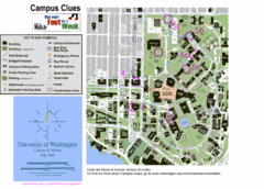
University of Washington map
249 miles away
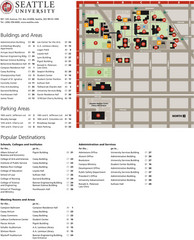
Seattle University Map
Campus Map
249 miles away
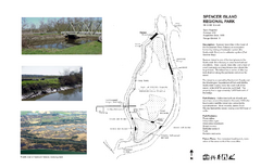
Spencer Island Park map
249 miles away
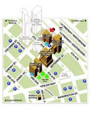
Municipal Court of Seattle Location Map
250 miles away
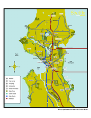
Neighborhoods of Seattle, Washington Map
Tourist map of Seattle, Washington, showing neighborhoods, parks, and scenic drives.
250 miles away
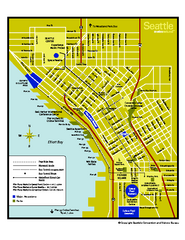
Downtown Seattle, Washington Map
Tourist map of downtown Seattle, Washington. Shows locations of Space Needle, Experience Music...
250 miles away
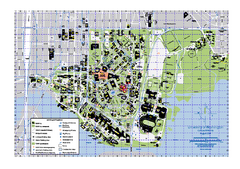
University of Washington - Seattle Campus Map
Campus Map of the University of Washington - Seattle Campus. All buildings shown.
250 miles away

Seattle Shopping map for Lucky Magazine
Illustrated map of Seattle shopping locations illustrated by MapsIllustrated for Lucky Magazine(NYC)
250 miles away
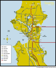
Seattle, Washington City Map
250 miles away
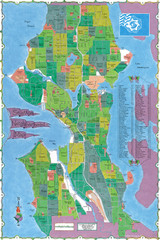
Seattle Neighborhood Map
250 miles away
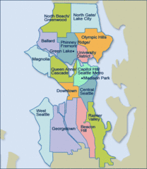
Seattle Neighborhood Map
250 miles away
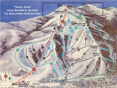
Soldier Mountain Ski Trail Map
Trail map from Soldier Mountain, which provides downhill and terrain park skiing. It has 3 lifts...
250 miles away

