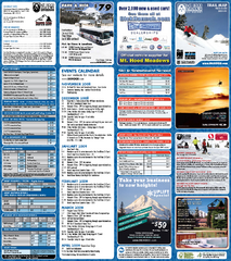
Mt. Hood Meadows Ski Resort Ski Trail Map
Trail map from Mt. Hood Meadows Ski Resort.
236 miles away
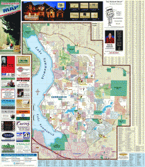
Sammamish tourist map
Tourist map of Sammamish, Washington. Shows all businesses.
236 miles away
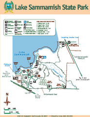
Lake Sammamish State Park Map
Map of island with detail of trails and recreation zones
237 miles away
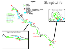
Manning Park Resort 2004–07 Manning Park...
Trail map from Manning Park Resort, which provides downhill and nordic skiing. It has 4 lifts...
237 miles away
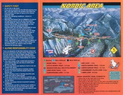
Manning Park Resort 2004–07 Manning Park Cross...
Trail map from Manning Park Resort, which provides downhill and nordic skiing. It has 4 lifts...
237 miles away
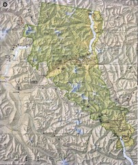
North Cascades National Park Physical Map
National Park
238 miles away

Timberline Ski Area Ski Trail Map
Trail map from Timberline Ski Area.
238 miles away
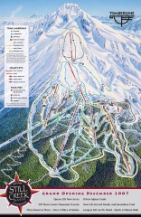
Timberline Ski Trail Map
Official ski trail map of Timberline Lodge ski area from the 2007-2008 season.
238 miles away
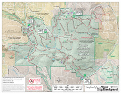
Cougar Mountain Park Trail Map
Trail map of Cougar Mountain Regional Wildland Park, part of the "Issaquah Alps"
238 miles away

Pierce County Washington Map, 1909 Map
239 miles away
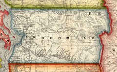
Snohomish County Washington, 1909 Map
240 miles away
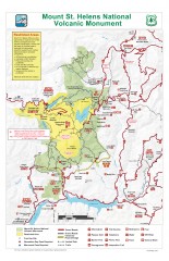
Mt. Saint Helens National Volcanic Monument...
Official recreation map showing all roads, trails, campgrounds, and other facilities. Also shows...
240 miles away
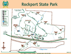
Rockport State Park Map
Map of park with detail of trails and recreation zones
240 miles away
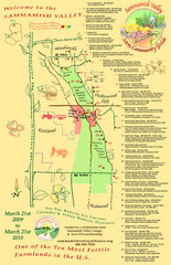
Sammamish Valley Guide Map
240 miles away
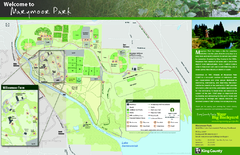
Marymoor Park Map
240 miles away
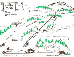
Summit Ski Area Ski Trail Map
Trail map from Summit Ski Area.
241 miles away

Shadowrun Redmond Map
241 miles away
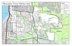
Newcastle Trails Trail Map
Trail map of existing and proposed trails in Newcastle, WA
241 miles away

Mt. Hood SkiBowl Ski Trail Map
Trail map from Mt. Hood SkiBowl.
241 miles away
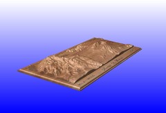
Mount St. Helens carved in wood by carvedmaps.com...
Mount St. Helens carved in wood by carvedmaps.com
241 miles away
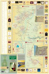
Oregon Winery Map / Local Side
241 miles away
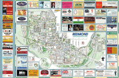
Redmond tourist map
Tourist map of Redmond, Washington. Shows all businesses.
241 miles away
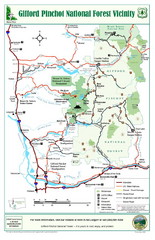
Gifford Pinchot National Forest Vicinity Map
Gifford Pinchot National Forest and surrounding areas including Mt. St Helens.
241 miles away
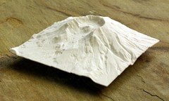
Mt. St. Helens 3D Print Map
This is a 3D-printed map of the cone, crater, and summit of Mt. St. Helens in Washington, USA. It...
241 miles away
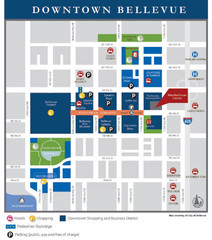
Downtown Bellevue Map
Driving Directions and Downtown Map
241 miles away
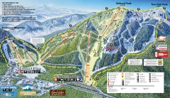
Mt. Hood Skibowl Ski Trail Map
Official ski trail map of ski area from the 2007-2008 season.
241 miles away
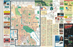
Redmond Area tourist map
Tourist map of the Redmond Area on Washington. Shows all businesses.
242 miles away
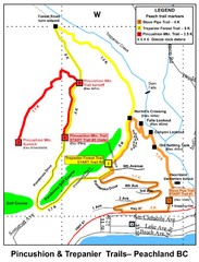
Peachland Walks Map
Guide to Pincushion and Trepanier Trails in Peachland, BC
242 miles away
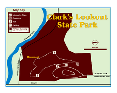
Clark's Lookatout State Park Map
Clearly marked State Park Map.
242 miles away

Greater Kirkland tourist map
Tourist map of Greater Kirkland, Washington. Shows all businesses.
242 miles away
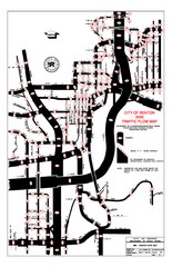
Renton WA Traffic Flow Map
City of Renton, WA traffic flow map
243 miles away
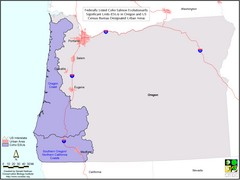
Oregon Coho Salmon Map
Shows federally listed coho salmon evolutionarily significant units in Washington state.
243 miles away
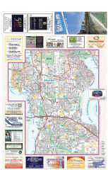
Bellevue tourist map
Tourist map of Bellevue, Washington. Shows all businesses.
243 miles away
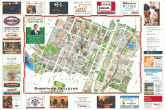
Tourist map of Downtown Bellevue
Tourist map of Downtown Bellevue, Washington. Shows all businesses.
243 miles away
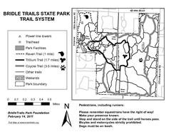
Bridle Trails State Park Map
243 miles away
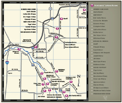
Woodinville Wine Country Map
Map of wineries in the Woodinville, WA area
244 miles away

Centennial Trail Map
244 miles away

Woodinville tourist map
Tourist map of Woodinville, Washington. Shows all businesses.
244 miles away
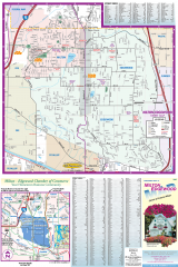
Milton and Edgewood tourist map
Tourist map of Milton and Edgewood, Washington. Shows all businesses.
244 miles away

