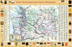
Washington State Winery Map
Washington State Winery Map
156 miles away
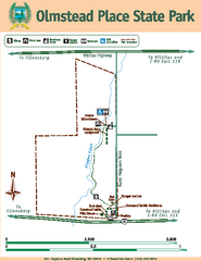
Olmstead Place State Park Map
Map of park with detail of trails and recreation zones
157 miles away
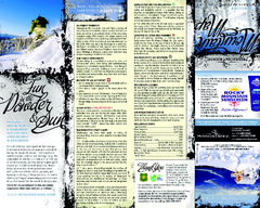
Mission Ridge Ski Area Ski Trail Map
Trail map from Mission Ridge Ski Area, which provides downhill, night, and terrain park skiing. It...
157 miles away
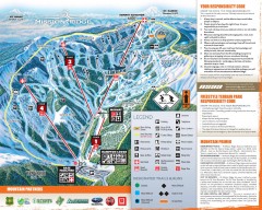
Mission Ridge Ski Trail Map
Official ski trail map of Mission Ridge ski area from the 2007-2008 season.
157 miles away
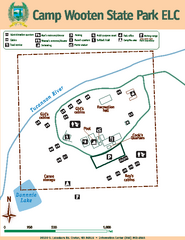
Camp Wooten State Park Map
Map of park with detail of trails and recreation zones
157 miles away
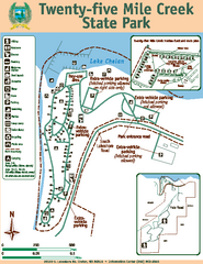
Twenty-Five Mile Creek State Park Map
Map of park with detail of trails and recreation zones
157 miles away

Yakima, Washington City Map
158 miles away

Blacktail Mountain Ski Area Ski Trail Map
Trail map from Blacktail Mountain Ski Area.
159 miles away
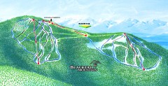
Blacktail Mountain Ski Trail Map
Official ski trail map of Blacktail Mountain ski area. See Blacktail's site for trailnames.
159 miles away
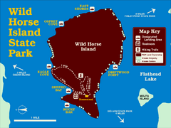
Wild Horse Island State Park Map
Boat access to this day-use-only, primitive park is regulated to protect the 2,000-acre island. The...
159 miles away
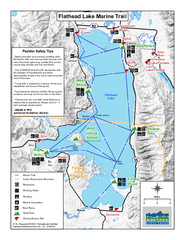
West Shore State Park Map
Glacially carved rock outcrops rise from Flathead Lake to overlooks with spectacular views of the...
162 miles away
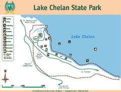
Lake Chelan State Park Map
Map of island with detail of trails and recreation zones
162 miles away
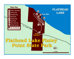
Finley Point State Park Map
This park is located in a secluded, mature pine forest near the south end of Flathead Lake. Enjoy...
162 miles away
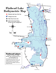
Bathymetric Map of Flathead Lake
Bathymetry refers to underwater depth
165 miles away

Red Mountain Trail Map
Ski trail map
166 miles away

City of Trail BC Map
Map of city of Trail, BC on the Columbia River
166 miles away
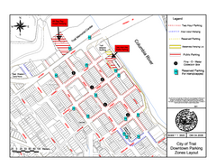
City of Trail Downtown Parking Map
Parking map of downtown Trail, British Columbia
166 miles away
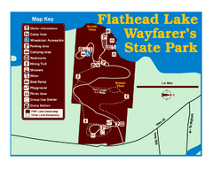
Wayfarers State Park Map
166 miles away

Red Mountain Ski Trail Map
Trail map from Red Mountain.
167 miles away

2006–08 Black Jack Nordic Map
Trail map from Black Jack.
168 miles away
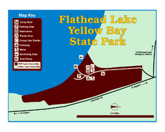
Yellow Bay State Park Map
Yellow Bay is in the heart of the famous Montana sweet cherry orchards, blossoms color the...
168 miles away
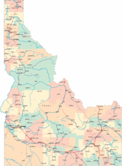
Idaho Road Map
169 miles away
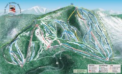
Lost Trail Powder Mountain Ski Trail Map
Official ski trail map of Lost Trail Powder Mountain ski area
170 miles away
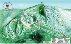
Lost Powder Mountain Ski Trail Map
Trail map from Lost Trail Powder Mountain.
170 miles away
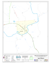
Monument Oregon Road Map
170 miles away
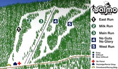
Salmo Ski Area Ski Trail Map
Trail map from Salmo Ski Area, which provides downhill skiing. This ski area has its own website.
170 miles away
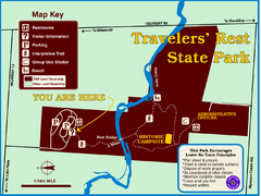
Travelers' Rest State Park Map
The Lewis and Clark expedition camped here twice during their historic journey to locate the...
172 miles away
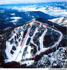
Loup Loup Ski Bowl Ski Trail Map
Trail map from Loup Loup Ski Bowl, which provides downhill, night, and nordic skiing. It has 2...
172 miles away
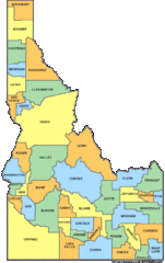
Idaho Counties Map
174 miles away
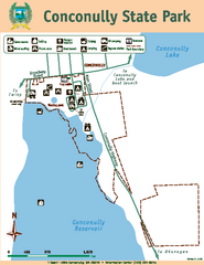
Conconully State Park Map
Map of park with detail of trails and recreation zones
174 miles away
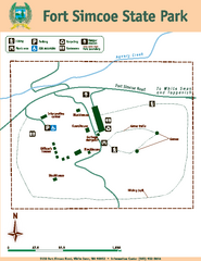
Fort Simcoe State Park Map
Map of park with detail of trails and recreation zones
176 miles away
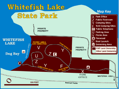
Whitefish Lake State Park Map
Although it’s right on the outskirts of Whitefish, this small park provides a mature forest...
176 miles away
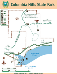
Columbia Hills State Park Map
Map of park with detail of trails and recreation zones
177 miles away
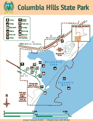
Columbia Hills State Park Map
Map of park with detail of trails and recreation zones
177 miles away

Phoenix Mountain Ski Trail Map
Trail map from Phoenix Mountain.
177 miles away
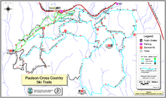
Paulson X-C (Castlegar Nordic) Ski Trail Map
Trail map from Paulson X-C (Castlegar Nordic), which provides nordic skiing. This ski area has its...
178 miles away
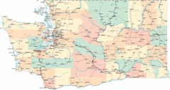
Washington Road Map
Road map of state of Washington
179 miles away
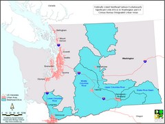
Washington Steelhead Salmon Map
Shows federally listed steelhead salmon evolutionarily significant units in Washington state.
179 miles away
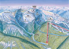
Whitefish Mountain Resort Hellroaring Ski Trail...
Trail map from Whitefish Mountain Resort.
179 miles away

Whitefish Mountain Resort Northside Ski Trail Map
Trail map from Whitefish Mountain Resort.
179 miles away

