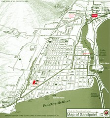
Map of Sandpoint, Idaho
Map of the entire town of Sandpoint including all streets, highways and other information.
111 miles away

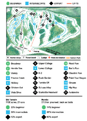
Schweitzer Mountain Trail Map
Map of ski trails
115 miles away
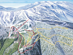
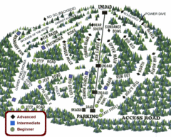
Schweitzer Mountain Trail Map
Ski trail map of Schweitzer Mountin
116 miles away
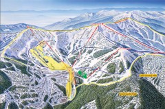
Schweitzer Ski Trail Map - Front
Official ski trail map of front side of Schweitzer ski area from the 2007-2008 season.
118 miles away
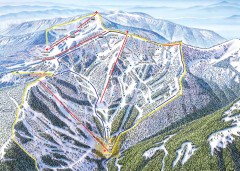
Schweitzer Ski Trail Map - Outback Bowl
Official ski trail map of back side of Schweitzer ski area from the 2007-2008 season.
118 miles away
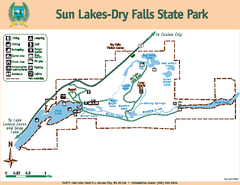
Sun Lakes-Dry Falls State Park Map
Map of park with detail of trails and recreation zones
119 miles away
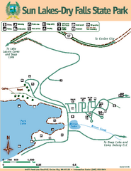
Sun Lakes-Dry Falls State Park Map
Map of park with detail of trails and recreation zones
119 miles away
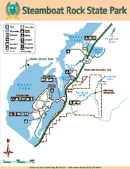
Steamboat Rock State Park Map
Map of park with detail of trails and recreation zones
121 miles away
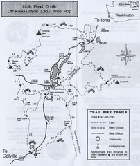
Little Pend Oreille Off Road Vehicle (ORV) Area...
Map of the Off Road Vehicle Area in Little Pend Oreille, Washington. Includes all bike trails...
128 miles away
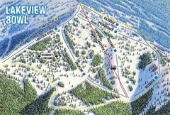
Brundage Mountain Resort Lakeview Bowl Ski Trail...
Trail map from Brundage Mountain Resort, which provides downhill and terrain park skiing. It has 5...
129 miles away
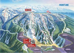
Brundage Mountain Resort Frontside Ski Trail Map
Trail map from Brundage Mountain Resort, which provides downhill and terrain park skiing. It has 5...
129 miles away
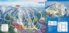
Brundage Ski Trail Map
Official ski trail map of Brundage ski area from the 2007-2008 season.
129 miles away
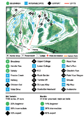
Anthony Lakes Mountain Resort Ski Trail Map
Trail map from Anthony Lakes Mountain Resort.
132 miles away
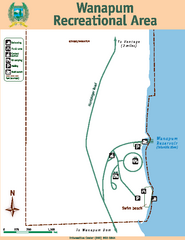
Wanapum Recreational Area Map
Map of park with detail of trails and recreation zones
134 miles away
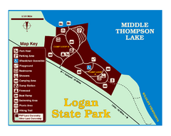
Logan State Park Map
With frontage on the north shore of Middle Thompson Lake, Logan is heavily forested with western...
135 miles away
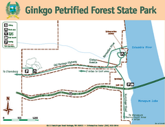
Ginkgo Petrified Forest State Park Map
Map of park with detail of trails and recreation zones
135 miles away
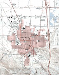
Baker City, Oregeon Tourist Map
138 miles away
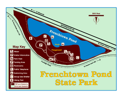
Frenchtown Pond State Park Map
Plan to bring everyone in the family to this day-use-only park for a whole afternoon of picnicking...
140 miles away
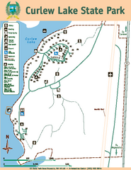
Curlew Lake State Park Map
Map of park with detail of trails and recreation zones
142 miles away
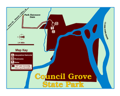
Council Grove State Park Map
Clearly marked map.
143 miles away
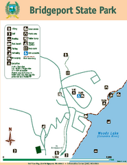
Bridgeport State Park Map
Map of park with detail of trails and recreation zones
145 miles away
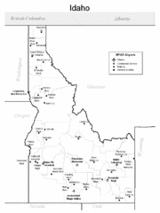
Idaho Airports Map
145 miles away
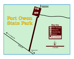
Fort Owen State Park Map
Fort Owen’s adobe and log remains preserves the site of the first permanent white settlement...
147 miles away
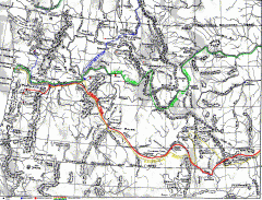
Oregon Trail Map
Old sketch map with modern cities, forts/ trading posts, and missions/churches superimposed. Shows...
148 miles away
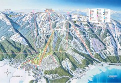
Tamarack Ski Trail Map
Official ski trail map of Tamarack ski area from the 2007-2008 season.
150 miles away
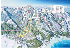
Tamarack Resort Ski Trail Map
Trail map from Tamarack Resort, which provides downhill, nordic, and terrain park skiing. It has 7...
151 miles away

Missoula, Montana City Map
151 miles away
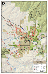
Missoula Bike Trails Map
Road and Mt. Bike trails with a bit of topology near Missoua
151 miles away

Missoula Trail System Map
Basic Map of Hike/Bike/Run Trail system for Missoula MT
151 miles away
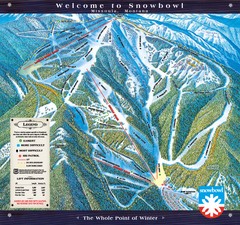
Montana Snowbowl Ski Trail Map
Trail map from Montana Snowbowl.
152 miles away
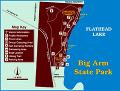
Big Arm State Park Map
Clear map and map key of Park camping grounds.
154 miles away
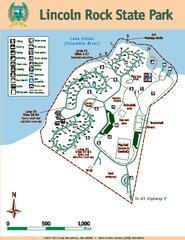
Lincoln Rock State Park Map
Map of park with detail of trails and recreation zones
155 miles away
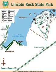
Lincoln Rock State Park Map
155 miles away
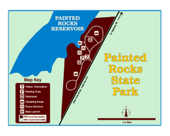
Painted Rocks State Park Map
Located in the scenic Bitterroot Mountains, this 23-acre park offers boating and water sport...
155 miles away
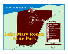
Lake Mary Ronan State Park Map
Off the beaten path just seven miles west of Flathead Lake, this park is shaded by Douglas fir and...
155 miles away
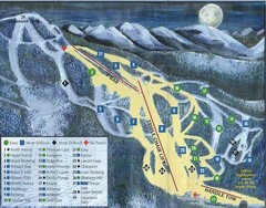
Marshall Mountain Ski Trail Map
Trail map from Marshall Mountain.
155 miles away
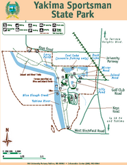
Yakima Sportsman State Park Map
Map of park with detail of trails and recreation zones
156 miles away

