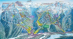
Eugene Parks map
City of Eugene Parks Map. Includes streets and trails.
342 miles away
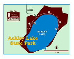
Ackley Lake State Park Map
Simple map of the State Park.
343 miles away
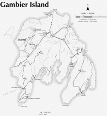
Gambier Island Trail Map
Trail map of Gambier Island, BC. See site for trail descriptions and details.
344 miles away
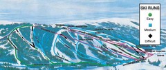
Kelly Canyon Ski Area Ski Trail Map
Trail map from Kelly Canyon Ski Area, which provides downhill, night, and terrain park skiing. It...
345 miles away
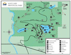
Alice Lake Provincal Park Map
345 miles away
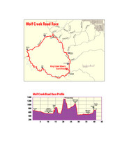
Wolf Creek Road Race Route and Route Elevation Map
Route map and elevation of Wolf Creek bike Race
346 miles away
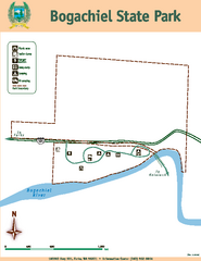
Bogachiel State Park Map
Map of park with detail of trails and recreation zones
346 miles away
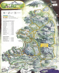
Diamond Lake Tourist Map
346 miles away
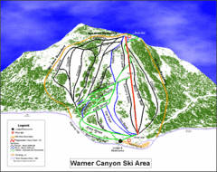
Warner Canyon Ski Trail Map
Trail map from Warner Canyon, which provides downhill skiing.
346 miles away
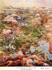
Detail of Yellowstone National Park, 1910 Map
Detail of Yellowstone National Park showing the Oregon Short Line Railroad, 1910
347 miles away
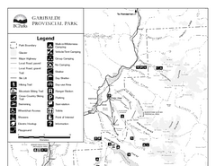
Garibaldi Provincial Park Map
Park map of Garibaldi Provincial Park, BC. 2 pages.
349 miles away
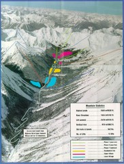
Cayoosh Resort (Melvin Creek) Ski Trail Map
Trail map from Cayoosh Resort (Melvin Creek), which provides downhill skiing.
350 miles away

Lakeview Oregon Road Map
350 miles away
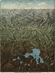
Fee’s map of Yellowstone National Park...
Charles S. Fee's map of Yellowstone in 1895.
351 miles away
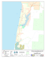
Lincoln City Oregon Road Map
351 miles away
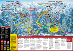
Whistler Blackcomb Trail map 2010-2011
Official ski trail map Whistler Blackcomb for the 2010-2011 season.
352 miles away
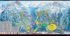
Whistler Blackcomb Ski Trail map 2005-06
Official ski trail map of the Whistler Blackcomb ski area from the 2005-2006 season. Site of the...
352 miles away
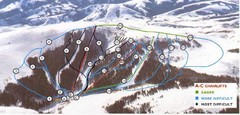
Pomerelle Ski Area Ski Trail Map
Trail map from Pomerelle Ski Area, which provides downhill, night, and terrain park skiing. It has...
352 miles away
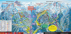
Whistler Blackcomb Ski Trail Map 2007-2008
Official ski trail map of the Whistler Blackcomb ski area from the 2007-2008 season. Site of Alpine...
352 miles away
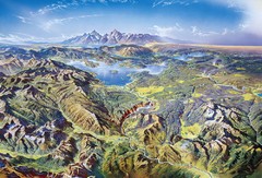
Yellowstone oblique Map
Oblique Panorama map of Yellowstone National Park
353 miles away
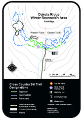
Dakota Ridge Ski Trail Map
Trail map from Dakota Ridge, which provides nordic skiing. This ski area has its own website.
354 miles away
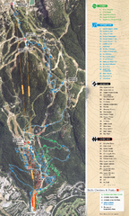
Whistler Blackcomb (Garibaldi Lift Co.) Biking...
Trail map from Whistler Blackcomb (Garibaldi Lift Co.), which provides downhill, night, and terrain...
354 miles away
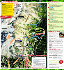
Whistler Blackcomb (Garibaldi Lift Co.) Hiking...
Trail map from Whistler Blackcomb (Garibaldi Lift Co.), which provides downhill, night, and terrain...
354 miles away
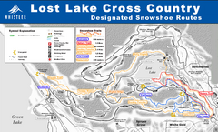
Whistler Cross Country Connection Snowshoeing Ski...
Trail map from Whistler Cross Country Connection.
354 miles away
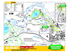
Whistler Cross Country Connection 2006–07...
Trail map from Whistler Cross Country Connection.
354 miles away
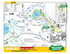
Lost Lake, Whistler Hiking and Biking Trail Map
354 miles away
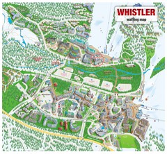
Whistler Village Map
354 miles away
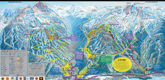
Whistler Blackcomb Ski Resort Map
Ski runs, lifts and amenities on the resort map
354 miles away
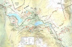
Whistler, CA Hiking and Biking Trails Map
354 miles away
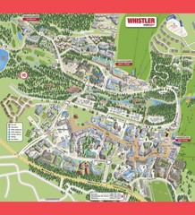
Whistler Village Map
354 miles away
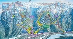
Whistler Blackcomb Trail Map
354 miles away
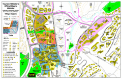
Whistler Village Map
354 miles away

Creekside Map
Tourist map of Creekside Village
354 miles away
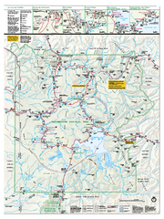
Yellowstone National Park official map
Official NPS map of Yellowstone National Park. Detail map of park with shaded relief. Established...
355 miles away
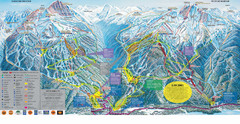
Trail Map Whistler Blackcomb
Map of all trails and ski runs at Whistler and Blackcomb mountains. Includes detailed information...
355 miles away
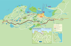
Nanaimo City Map
Map of Nanaimo, BC. Shows trails and parks.
355 miles away
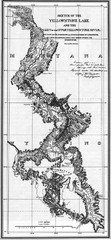
1871 Yellowstone River and Lake Map
Historic guide to the Yellowstone River and Lake in Yellostone National Park
356 miles away
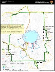
Crater Lake National Park Map
356 miles away
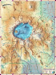
Crater Lake National Park map
Great map of Crater Lake National Park shows all trails, viewpoints, mountains, roads, campgrounds...
357 miles away

