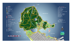
Stanley Park Map
Overview trail map of Stanley Park in Vancouver, BC.
328 miles away
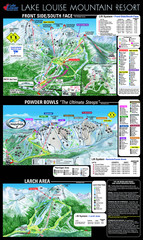
Lake Louise Trail Map
Ski area trail map for Lake Louise Mountain
328 miles away
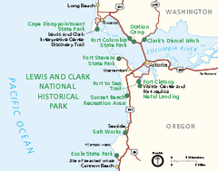
Lewis & Clark National Historic Trail...
Official NPS map of Lewis & Clark National Historic Trail in Oregon-Washington. Shows all areas...
328 miles away
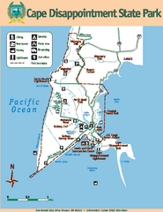
Cape Dissapointment State Park Map
Map of park with detail of trails and recreation zones
329 miles away
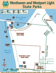
Westhaven/Westport Light State Parks Map
Map of park with detail of trails and recreation zones
329 miles away
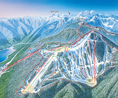
Grouse Mountain Ski Trail Map
Trail map from Grouse Mountain, which provides downhill, night, and terrain park skiing. It has 5...
329 miles away
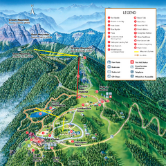
Grouse Mountain Summer Trail Map
Summer trail map of Grouse Mountain Resort near Vancouver, BC.
329 miles away
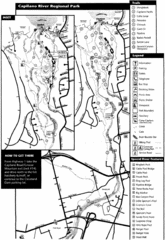
Capilano River Park Trail Map
Trail map of Capilano River Regional Park near Vancouver, BC
329 miles away
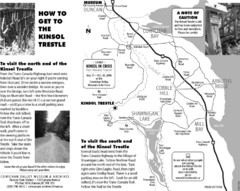
Kinsol Trestle Map
Map of the Kinsol Trestle
329 miles away
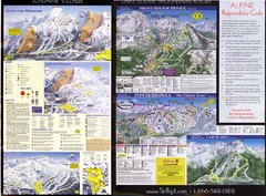
2007–08 2007–08 Ski Big 3 Side 2 (Lake Louise...
Trail map from Lake Louise, which provides downhill skiing. This ski area has its own website.
330 miles away
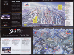
Lake Louise 2007–08 Ski Big 3 Side 1 (3...
Trail map from Lake Louise, which provides downhill skiing. This ski area has its own website.
330 miles away
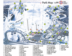
Canada Olympic Park Ski Trail Map
Trail map from Canada Olympic Park, which provides downhill skiing. This ski area has its own...
330 miles away
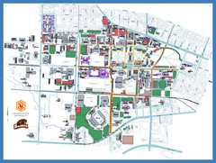
Oregon State University Campus Map
Campus map of Oregon State University in Corvallis, Oregon
330 miles away
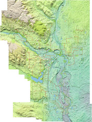
Calgary Topo Bike Map
This map shows the city of Calgary's bike routes. The topographic representation of the...
331 miles away
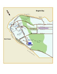
Downtown Vancouver Map
331 miles away
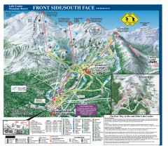
Lake Louise Ski Trail map - Front side/south face...
Official ski trail map of the front side/south face of Lake Louise ski area from the 2005-2006...
331 miles away
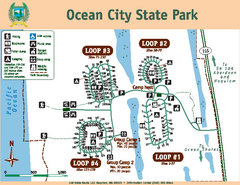
Ocean City State Park Map
Map of park with detail of trails and recreation zones
331 miles away
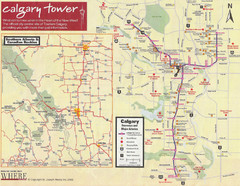
Calgary Tourist Map
Tourist map of Calgary, Canada. Shows points of interest. Scanned.
331 miles away
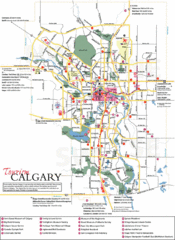
Calgary Map
331 miles away
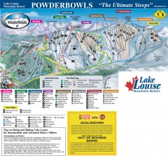
Lake Louise Ski Trail map - Ptarmigan/Paradise...
Official ski trail map of the Ptarmigan/Paradise/Back Bowls of Lake Louise ski area from the 2005...
332 miles away
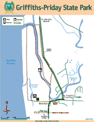
Griffiths-Priday State Park Map
Griffiths-Priday State Park
332 miles away
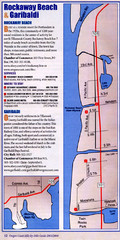
Rockaway Beach Map
333 miles away
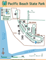
Pacific Beach State Park Map
Map of park with detail of trails and recreation zones
333 miles away
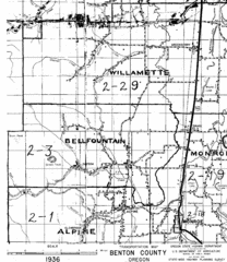
Transportaion for Benton County 1936 Map
1936 Map of Benton County, Oregon known as Muddy Area with counties, roads and towns marked
333 miles away
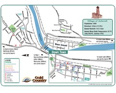
Ashcroft Map
Map of Ashcroft, includes all streets, highways, accommodations and attractions.
334 miles away
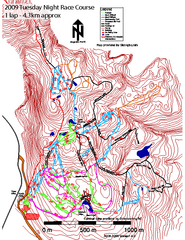
Cypress Mountain Tuesday Night Race Course Ski...
Trail map from Cypress Mountain, which provides downhill, night, nordic, and terrain park skiing...
334 miles away
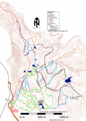
Cypress Mountain Nordic (Skiingbc.info Topo...
Trail map from Cypress Mountain, which provides downhill, night, nordic, and terrain park skiing...
334 miles away
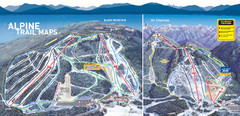
Cypress Mountain Ski Trail Map
Official ski trail map of Cypress Mountain ski area from the 2007-2008 season. Official freestyle...
334 miles away
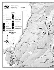
Cypress Provincial Park Map
Park map of Cypress Provincial Park, BC. Home of the North Shore Mountains. 2 pages.
334 miles away
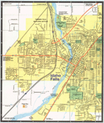
Idaho Falls, Idaho City Map
336 miles away
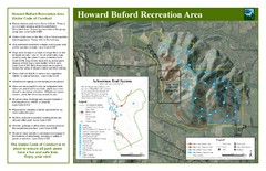
Howard Buford Recreational Area Trails Map
Map of the Howard Buford Recreational Area trails, roads, picnic areas, bathrooms, attractions.
337 miles away
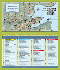
Bownen Island Tourist Map
339 miles away

Bowen Island 3D Aerial Map
3d aerial map of Bowen Island, BC
339 miles away
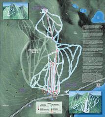
Willamette Pass Ski Trail Map
Trail map from Willamette Pass.
340 miles away
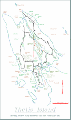
Thetis Island Map
Thetis Island map showing roads, properties, and the community trail.
340 miles away
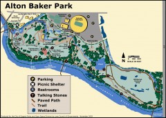
Alton Baker Park Map
Shows parking, picnic shelters, restrooms, talking stones, paved path, trail, and wetlands. Alton...
340 miles away
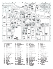
University of Oregon campus map
University of Oregon campus map with building abbreviations
341 miles away
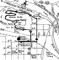
Eugene Oregon Walk, Skinner Butte and River Path...
Walk on the Willamette River Bike path, up Skinner Butte on a forest path and through a historic...
341 miles away
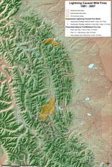
Montana Mountain Range Map
Fires on the Montana mountain range
341 miles away
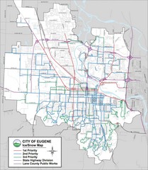
Eugene, Oregon City Map
342 miles away

