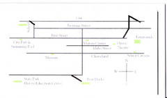
Glenns Ferry City Map
City map of Glenns Ferry, Idaho with information
277 miles away
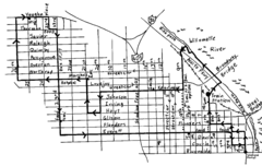
Pearl District Walking Map, Portland Oregon Map
Walk through the Pearl District, along the Willamette River and up to 23rd Street. Detour to the...
277 miles away
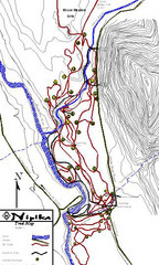
Nipika Ski Trail Map
Trail map from Nipika, which provides nordic skiing. This ski area has its own website.
277 miles away
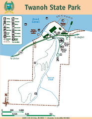
Twanoh State Park Map
Map of park with detail of trails and recreation zones
277 miles away
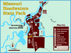
Missouri Headwaters State Park Map
This park encompasses the confluence of the Jefferson, Madison and Gallatin Rivers. The Lewis and...
277 miles away
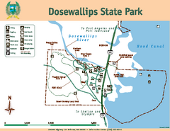
Dosewallips State Park Map
Map of park with detail of trails and recreation zones
277 miles away

Coupeville tourist map
Tourist map of Coupeville, Washington. Shows all businesses.
277 miles away

Oak Harbor tourist map
Tourist map of Oak Harbor, Washington. Shows all businesses.
277 miles away
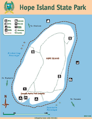
Hope Island State Park Map
Map of park with detail of trails and recreation zones
278 miles away
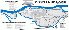
Sauvie Island tourist map
Tourist map of Sauvie Island in Oregon. Shows all businesses and points of interest.
278 miles away
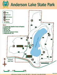
Anderson Lake State Park Map
Map of park and trails
278 miles away
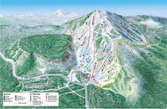
Hoodoo Mountain Ski Trail Map
Ski trail map of Hoodoo Mountain ski area.
278 miles away
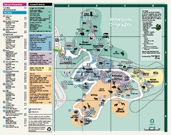
Oregon Zoo Map 2009
278 miles away

Lake Oswego Oregon Road Map
278 miles away
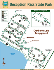
Deception Pass State Park Map
Map of park with detail of trails and recreation zones
279 miles away
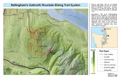
Bellingham Galbraith Mountain Biking Trail Map
Mountain biking trail map of Whatcom Falls Park near Bellingham, WA
279 miles away
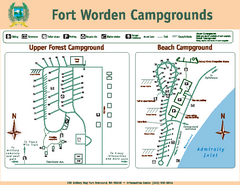
Fort Worden Campgrounds Map
Map of park campgrounds
279 miles away
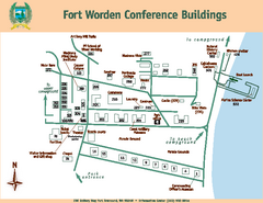
Fort Worden Conference Buildings Map
Map of conference buildings in Fort Worden State Park
279 miles away
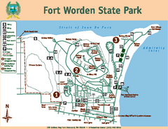
Fort Worden State Park Map
Map of park with detail of trails and recreation zones
279 miles away
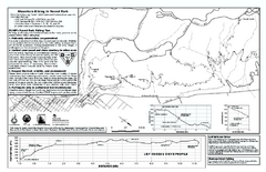
Forest Park Mountain Biking Map
Forest Park now includes over 5,100 wooded acres making it the largest, forested natural area...
279 miles away
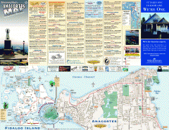
Fidalgo Island tourist map
Tourist map of Fidalgo Island in Anacortes, Washington. Shows recreation and points of interest.
279 miles away
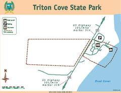
Triton Cove State Park Map
Map of park with detail of trails and recreation zones
280 miles away
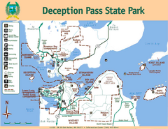
Deception Pass State Park Map
Map of park with detail of trails and recreation zones
280 miles away
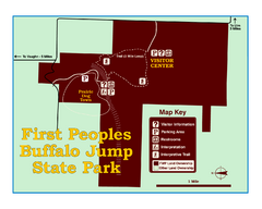
First People's Buffalo Jump State Park Map
A visitor center and interpretive trails tell the story of this prehistoric bison kill site, one of...
280 miles away
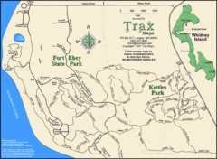
Ft Ebey/Kettle Park Trail Map
Trail map of Fort Ebey Park and Kettle Park, Washington
280 miles away
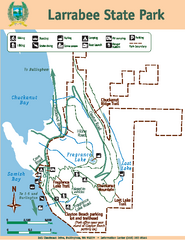
Larrabee State Park Map
Map of island with detail of trails and recreation zones
280 miles away
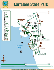
Larrabee State Park Map
Map of island with detail of trails and recreation zones
280 miles away
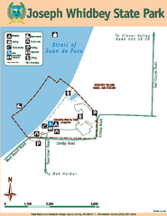
Joseph Whidbey State Park Map
Map of park with detail of trails and recreation zones
280 miles away
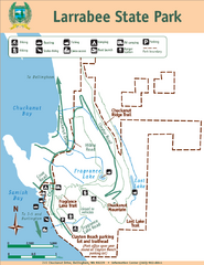
Larrabee State Park Map
Park map of Larrabee State Park, Washington.
280 miles away
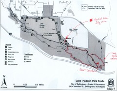
Lake Padden Park Trails Map
Course Elevation Map noted in handwriting on map. Festival location noted as well.
281 miles away
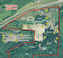
Grays Harbor County Straddleline ORV Park...
Park Map near Olympia
281 miles away
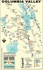
Columbia Valley Map
Easy to follow map and legend of this wilderness area.
281 miles away
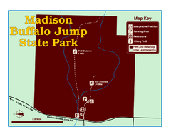
Madison Buffalo Jump State Park Map
You’ll find this day-use-only park seven graveled miles off Interstate 90 at the Logan exit...
281 miles away
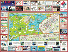
Anacortes tourist map
Tourist map of Anacortes, Washington. Shows recreation and points of interest.
281 miles away
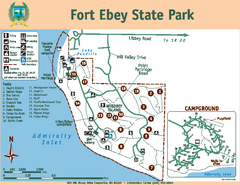
Fort Ebey State Park Map
Map of park with detail of trails and recreation zones
281 miles away
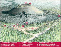
Newberry National Volcanic Monument - Lava Lands...
Map of Lava Butte which rises 500 feet above the visitor center. This cinder cone erupted 7,000...
281 miles away

Tigard Oregon Road Map
283 miles away
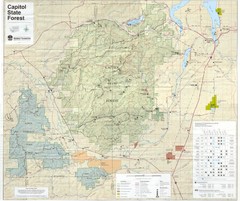
Capitol State Forest Map
284 miles away
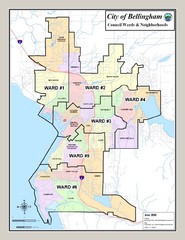
Bellingham Ward Map
Guide to wards in Bellingham, WA
284 miles away

