
Whidbey Island tourist map
Tourist map of Whidbey Island and Coupeville, Washington. Shows all businesses.
268 miles away
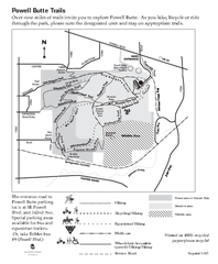
Powell Butte Nature Park Trail Map
Trail map of Powell Butte Nature Park. Shows over 9 miles of trails
269 miles away
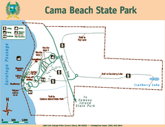
Cama Beach State Park Map
Map of park with detail of trails and recreation zones
269 miles away
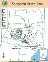
Seaquest State Park Map
Map of park with detail of trails and recreation zones
270 miles away

Maywood Park Oregon Road Map
270 miles away

Skagit County Washington, 1909 Map
270 miles away

Olympia Map
Map of downtown Olympia's parking and shuttle routes.
271 miles away
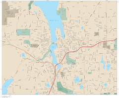
Olympia, Washington City Map
271 miles away

Happy Valley Oregon Road Map
271 miles away
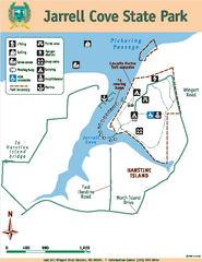
Jarrell Cove State Park Map
Map of park with detail of trails and recreation zones
272 miles away
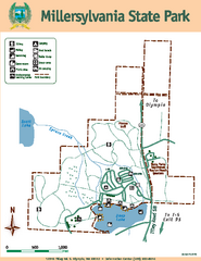
Millersylvania State Park Map
Map of park with detail of trails and recreation zones
272 miles away
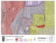
Bend, Oregon Zoning Map
Map of the zoning area changes in Bend, Oregon. Includes color-coded zoning areas.
272 miles away
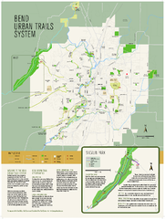
Bend urban trails system Map
The Bend Urban Trail System currently includes approximately 48 developed miles of trails which...
273 miles away
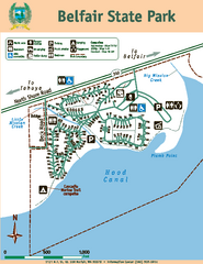
Belfair State Park Map
Map of park, with detail of trails and recreation zones
273 miles away
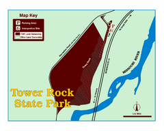
Tower Rock State Park Map
Tower Rock State Park is one of Montana's newest state parks. The 400-foot high igneous rock...
273 miles away
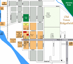
Guide Map of Old Town Ridgefield
Guide Map of Old Town Ridgefield, Washington
273 miles away
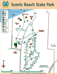
Scenic Beach State Park Map
Map of park with detail of trails and recreation zones
274 miles away
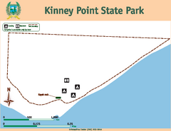
Kinney Point State Park Map
Map of island with detail of trails and recreation zones
274 miles away
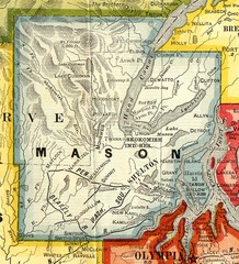
Mason County Washington, 1909 Map
274 miles away
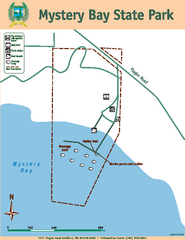
Mystery Bay State Park Map
Map of park with detail of trails and recreation zones
274 miles away
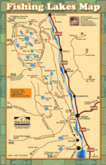
Radium Hot Springs Fishing Map
Beautiful map of the many fishing spots at this amazing site.
274 miles away
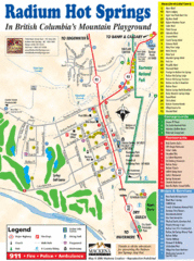
Radium Hot Springs Map
An easy to read map of this amazing hot springs area.
274 miles away
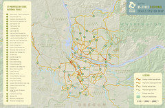
Bi-State Regional Trail System Plan Map
Shows plan for developing 37 Bi-State Regional Trails
275 miles away
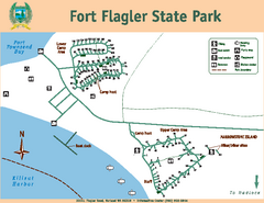
Fort Flagler State Park Map
Map of park with detail of trails and recreation zones
275 miles away
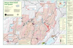
Tahuya State Forest Trail Map
Shows trails of Tahuya State Forest. Show roads, doubletrack, singletrack, and 4WD only.
276 miles away
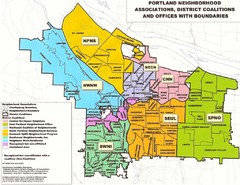
Portland Neighborhood Map
Shows neighborhood associations of Portland, Oregon.
276 miles away
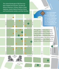
Old Town-China Town Map
Portland's oldest neighborhoods and history are easily seen in Old Town-China Town.
276 miles away
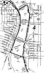
Portland Oregon downtown walk Map
Walk from the Amtrak Station to the Oregon Museum of Science and Industry. 4 miles round trip...
276 miles away
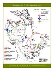
Portland Japanese Garden Map
So Far My favorite Japanese Garden
276 miles away
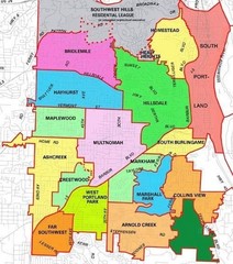
Portland, Oregon Neighborhood Map
276 miles away
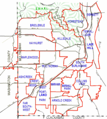
Portland, Oregon Neighborhood Map
276 miles away
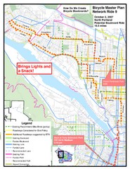
Portland, Oregon Bike Map
276 miles away
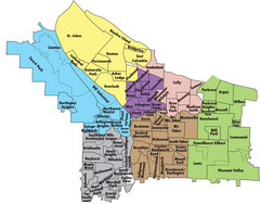
Portland, Oregon Neighborhood Map
276 miles away
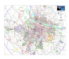
Portland, Oregon Tourist Map
276 miles away
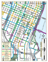
South Downtown Portland Bike Map
Biking map of southern downtown Portland, Oregon. Shows bike paths, bike parking, and bike shops.
276 miles away
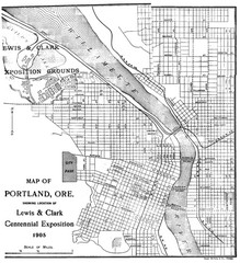
Portland, Oregon Map
Map of Portland, Oregon during centennial exposition of the Lewis & Clark Exploration...
276 miles away
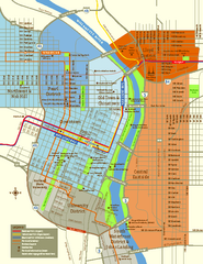
Central Portland, Oregon Map
Tourist map of Portland, Oregon. Shows museums, sports arenas, parks, and public transportation.
276 miles away
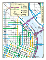
North Downtown Portland Bike Parking Map
Biking map of northern downtown Portland, Oregon. Shows bike paths, parking, and stores.
276 miles away
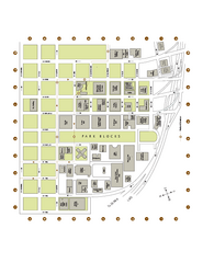
Portland State University Map
Campus Map of Portland State University. All buildings shown.
276 miles away


