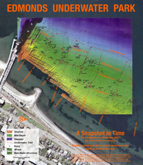
Edmonds Underwater Park Map
Map of underwater park for divers
255 miles away
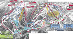
Mt. Baker Ski Area Ski Trail Map
Trail map from Mt. Baker Ski Area, which provides terrain park skiing. It has 10 lifts servicing 38...
256 miles away
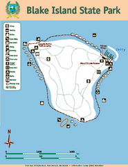
Blake Island State Park Map
Map of park with detail of trails and recreation zones
256 miles away
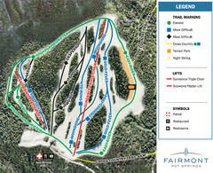
Fairmont Hot Springs Resort Ski Trail Map
Trail map from Fairmont Hot Springs Resort.
258 miles away
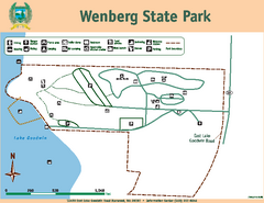
Wenberg State Park Map
Map of park with detail of trails and recreation zones
258 miles away
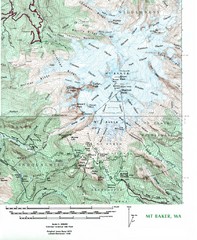
Mt. Baker Topo Map
Topo map of Mt. Baker, Washington, elevation 10,778ft.
258 miles away
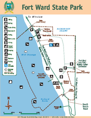
Fort Ward State Park Map
Map of park with detail of trails and recreation zones
258 miles away
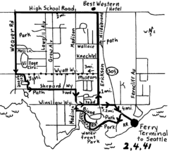
Bainbridge Walking Map
From Seattle Ferry Terminal, take the Bainbridge Ferry to Winslow. The walk is 4 miles with...
258 miles away
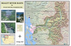
Skagit River Map
Skagit River Basin Overview Map (Pink shading is the FEMA 100 Year Flood)
258 miles away
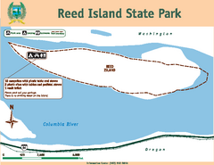
Reed Island State Park Map
Map of park with detail of trails and recreation zones
259 miles away
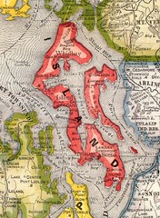
Island County Washington, 1909 Map
259 miles away
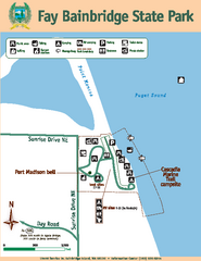
Fay Bainbridge State Park Map
Map of park with detail of trails and recreation zones
259 miles away
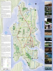
Bainbridge Island Hiking and Biking Map
Shows trails and bike routes on Bainbridge Island, Washington in the Puget Sound. Also shows...
259 miles away
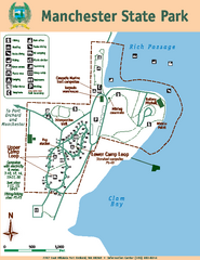
Manchester State Park Map
Map of park with detail of trails and recreation zones
259 miles away
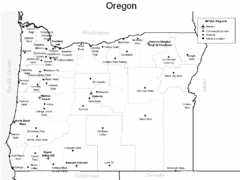
Oregon Airport Map
260 miles away
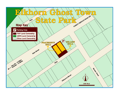
Elkhorn Ghost Town State Park Map
Clearly marked map of old 1880's ghost town with impressive structures.
260 miles away

3-D Panoramic Map of the Puget Sound
A 3D panoramic map of a view from a private residence over Puget Sound toward the Olympic mountains.
260 miles away
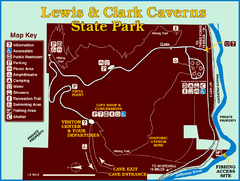
Lewis and Clark Caverns State Park Map
Montana's first and best-known state park showcases one of the most highly decorated limestone...
261 miles away
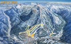
Panorama Ski Trail Map
Official ski trail map of Panorama ski area from the 2006-2007 season.
261 miles away
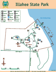
Illahee State Park Map
Map of park with detail of trails and recreation zones
262 miles away
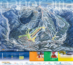
Panorama Mountain Village Ski Trail Map
Trail map from Panorama Mountain Village.
262 miles away
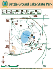
Battle Ground Lake State Park Map
Map of park with detail of trails and recreation zones
262 miles away

South Whidbey Island tourist map
Tourist map of South Whidbey Island, Washington. Shows all businesses.
262 miles away
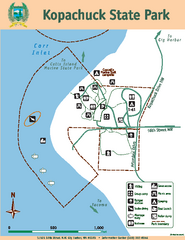
Kopachuck State Park Map
Map of island with detail of trails and recreation zones
263 miles away

Panorama Trail Map
Ski trail map
263 miles away
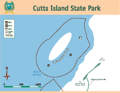
Cutts Island Stay Park Map
Map of park with detail of trails and recreation zones
263 miles away

South Whidbey tourist map
Tourist map of South Whidbey, Washington. Shows all businesses.
263 miles away
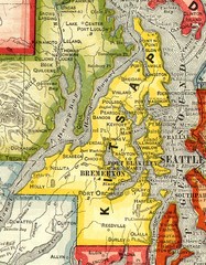
Kitsap County Washington, 1909 Map
264 miles away

Alpine Mountain Trail Map
Ski trails on Alpine Mountain
265 miles away
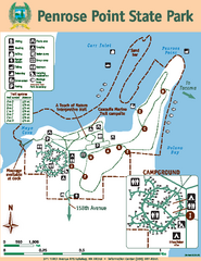
Penrose Point State Park Map
Map of park with detail of trails and recreation zones
265 miles away
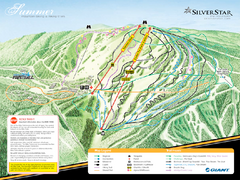
Silver Star Mountain Resort Summer Ski Trail Map
Trail map from Silver Star Mountain Resort.
266 miles away
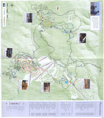
Silver Star Mountain Resort Nordic Ski Trail Map
Trail map from Silver Star Mountain Resort.
266 miles away
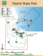
Tolmie State Park Map
Map of park with detail of trails and recreation zones
266 miles away
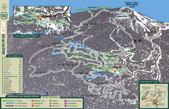
Sovereign Lake Nordic Ski Trail Map
Trail map from Sovereign Lake, which provides night and nordic skiing. This ski area has its own...
267 miles away
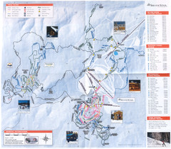
Sovereign Lake Ski Trail Map
Trail map from Sovereign Lake, which provides night and nordic skiing. This ski area has its own...
267 miles away
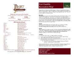
Stottlemeyer trails Map
267 miles away
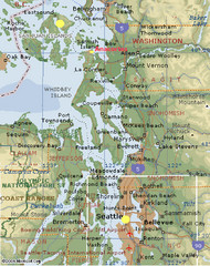
Washington State - West Coast Map
Washington State - West Coast Map
267 miles away
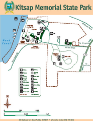
Kitsap Memorial State Park Map
Map of island with detail of trails and recreation zones
267 miles away
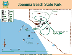
Joemma Beach State Park Map
Map of park with detail of trails and recreation zones
268 miles away
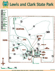
Lewis and Clark State Park Map
Map of park with detail of recreation zones and trails
268 miles away

