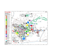
Washington State University Map
Washington State University Campus Map. All buildings shown.
0 miles away

Pullman Parks Trail Map
Trails and pathways map
less than 1 mile away
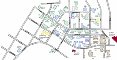
Washington State University's Greek Row Map
Map of WSU's fraternities and sororities
less than 1 mile away
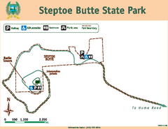
Steptoe Butt State Park Map
Map of park with detail of trails and recreation zones
22 miles away
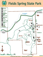
Fields Spring State Park Map
Map of park with detail of trails and recreation zones
45 miles away
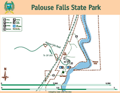
Palouse Falls State Park Map
Map of park with detail of trails and recreation zones
50 miles away
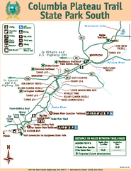
Columbia Plateau Trail State Park South Map
Map of park with detail of trails and recreation zones
54 miles away
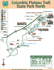
Columbia Plateau Trail State Park North Map
Map of park with detail of trails and recreation zones
54 miles away
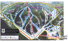
Bluewood Ski Trail Map
55 miles away
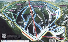
Bluewood Ski Trail Map
Trail map from Bluewood, which provides downhill, nordic, and terrain park skiing. It has 3 lifts...
55 miles away

Eastern Washington University Campus Map
Campus map of Eastern Washington University in Cheney, Washington
56 miles away
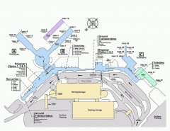
Spokane International Airport Terminal Map
Official Map of Spokane International Airport in Washington state. Shows all terminals.
65 miles away
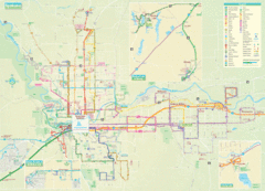
Spokane Guide Map
Roads and areas in and around Spokane, Washington
65 miles away
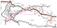
Trail of the Coeur d'Alenes Map
Shows the Trail of the Coeur d'Alenes, a 72 mile bike path that follows the Union Pacific...
65 miles away
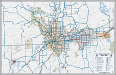
Spokane, Washington Bike Map
66 miles away
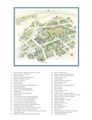
Whitman College Campus Map
Campus map of Whitman College in Walla Walla, WA
71 miles away
Silver Mountain Resort Ski Trail Map
Trail map from Silver Mountain Resort, which provides downhill, night, and terrain park skiing. It...
73 miles away
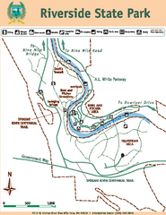
Riverside State Park Map
Map of park with detail of trails and recreation zones
75 miles away
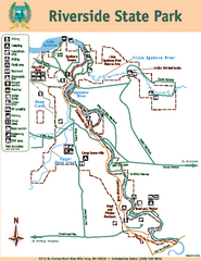
Riverside State Park Map
Map of park with detail of trails and recreation zones
75 miles away
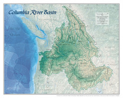
Columbia River Basin Map
81 miles away
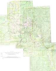
Mount Spokane Trail Map
Contour map of Mount Spokane
83 miles away
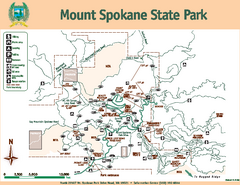
Mount Spokane State Park Map
Map of park with detail of trails and recreation zones
83 miles away
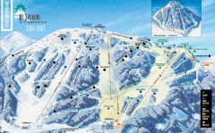
Mt. Spokane Ski Trail Map
Official ski trail map of Mount Spokane ski area from the 2006-2007 season.
83 miles away
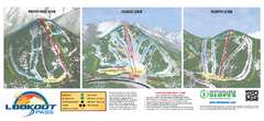
Lookout Pass Ski Trail Map
Official ski trail map of Lookout Pass ski area from the 2007-2008 season. Shows Montana, Idaho...
86 miles away
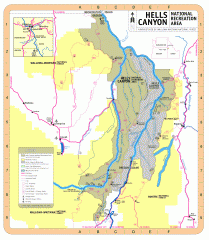
Hells Canyon National Recreation Area Map
Official Forest Service map of the Hells Canyon National Recreation Area. Shows roads, trails...
89 miles away
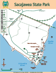
Sacajawea State Park Map
Map of park with detail of trails and recreation zones
96 miles away

City of Kennewick Map
Simple road map of Kennewick.
99 miles away
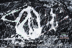
Ferguson Ridge Ski Trail Map
Trail map from Ferguson Ridge.
101 miles away
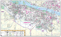
Kennewick, Washington City Map
102 miles away
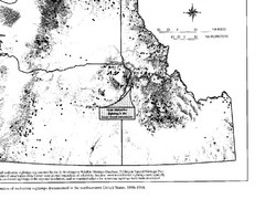
Map of Wolverine Sightings: 1886 -- 1998
102 miles away
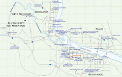
Kennewick Hotel Map
102 miles away
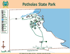
Potholes State Park Map
Map of park with detail of trails and recreation zones
104 miles away
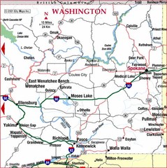
Eastern Washington Road Map
104 miles away
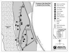
Thompson Falls State Park Map
This shaded, quiet campground is located on the Clark Fork River near the town of Thompson Falls in...
105 miles away
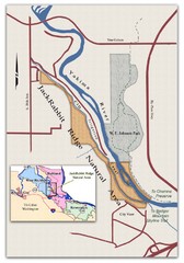
JackRabbit Ridge Natural Area Map
Shows urban wildlands
106 miles away
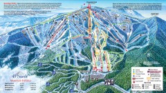
49 Degrees North Ski Trail Map
Official ski trail map of ski area from the 2007-2008 season.
110 miles away
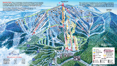
49 North Mountain Resort Ski Trail Map
Trail map from 49 North Mountain Resort, which provides downhill, night, nordic, and terrain park...
111 miles away

Sandpoint City Map
Street map of downtown Sandpoint
111 miles away
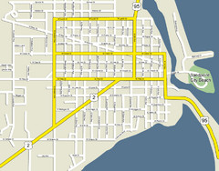
Sandpoint City Beach Map
Downtown Sandpoint Map.
111 miles away

