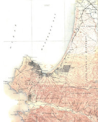
Monterey Map
3317 miles away
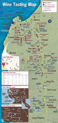
Monterey area wineries map
Map of wineries with public tasting rooms in the Monterey area
3317 miles away
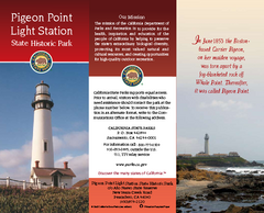
Pigeon Point Light Station State Historic Park Map
Map of park with detail of trails and recreation zones
3317 miles away
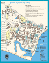
UC Santa Barbara Map
Campus map
3318 miles away

Laguna Seca Raceway Map
Overview map of the Laguna Seca Raceway. Shows track, parking, and facilities.
3319 miles away
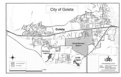
Goleta City Map
Street map of Goleta, California
3319 miles away
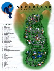
Michael Jackson's Neverland Ranch Map
Map shows all points of interest at Michael Jackson's Neverland Ranch near Los Olivos, CA.
3319 miles away
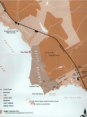
Ano Nuevo State Park Map
Map of park with detail of trails and recreation zones
3319 miles away

Ano Nuevo State Park Map
Map of park with detail of trails and recreation zones
3320 miles away
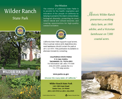
Wilder Ranch State Park Map
Map of park with detail of trails and recreation zones
3321 miles away
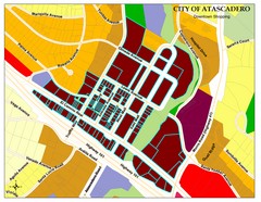
City of Atascadero Map
3321 miles away
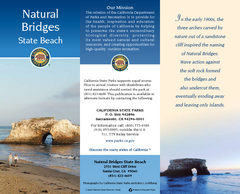
Natural Bridges State Beach Map
Map of beach and park with detail of trails and recreation zones
3322 miles away
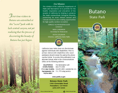
Butano State Park Map
Map of park with detail of trails and recreation zones
3322 miles away

Toro County Park Map
Trails of Toro County Park, Salinas Ca.
3323 miles away
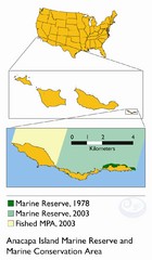
Anacapa Island Marine Reserve Map
3323 miles away
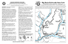
Big Basin Redwoods State Park Map
Map of park with detail of trails and recreation zones
3324 miles away
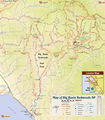
Big Basin Redwoods State Park Trail Map
Topographical trail map of Big Basin Redwoods State Park. Shows roads, trails, natural and other...
3324 miles away
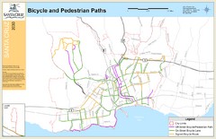
Santa Cruz, CA Bike Map
3324 miles away

Santa Cruz, California City Map
3324 miles away
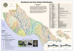
Steelhead and Coho Salmon Distribution Map...
Shows the current distribution of steelhead and resident rainbow trout and coho salmon in Santa...
3324 miles away
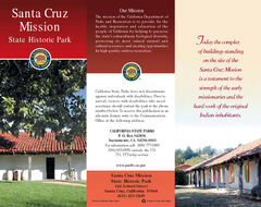
Santa Cruz Mission State Historic Park Map
Map of park and mission
3324 miles away
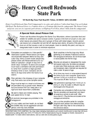
Henry Cowell Redwoods State Park Campground Map
Map of campground region of park with detail of trails and recreation zones
3325 miles away
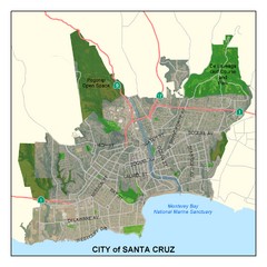
Santa Cruz City Limits Map
Map shows the city limits boundries of Santa Cruz, California
3325 miles away

Santa Barbara, California City Map
3325 miles away
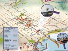
Santa Barbara Car Free Map
Shows bicycle and public transportation routes in downtown Santa Barbara, CA. Shows points of...
3325 miles away
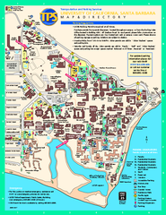
University of California at Santa Barbara Map
University of California at Santa Barbara Campus Map. All buildings shown.
3325 miles away

Santa Barbara Area Map
3325 miles away

El Presidio de Santa Barbara State Park Map
3325 miles away
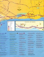
Santa Barbara Map
3326 miles away
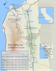
Wine tasting map of Monterey County
Wine tasting map of Monterey County, California, showing vineyards, wineries, and approximate drive...
3326 miles away
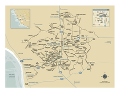
Paso Robles wine country map
Map of Paso Robles area vineyards and wineries.
3327 miles away
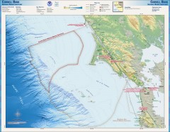
Cordell Bank National Marine Sanctuary Map
Topo and bathymetric map of the Cordell Bank National Marine Sanctuary, located 60 miles northwest...
3327 miles away
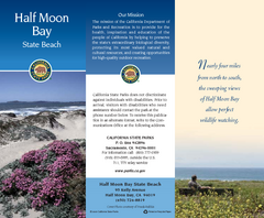
Half Moon Bay State Beach Map
Map of beach with detail of trails and recreation zones
3328 miles away
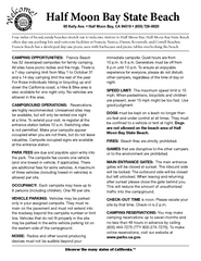
Half Moon Bay State Beach Campground Map
Map of beach with detail of trails and recreation zones
3328 miles away
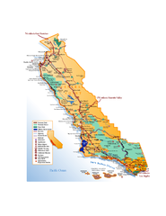
California Central Coast Map
Large tourist map of California's Central Coast. From Monterey to Santa Barbara. Shows all...
3328 miles away
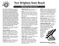
New Brighton State Beach Campground Map
Map of campground region of beach/park with detail of trails and recreation zones
3328 miles away
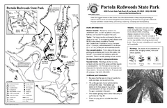
Portola Redwoods State Park Campground Map
Map of campground region of park with detail of trails and recreation zones
3328 miles away
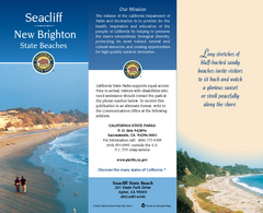
Seacliff & New Brighton State Beaches Map
Map of beaches and parks with detail of trails and recreation zones
3329 miles away
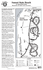
Sunset State Beach Campground Map
Map of park with detail of trails and recreation zones
3329 miles away

