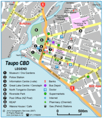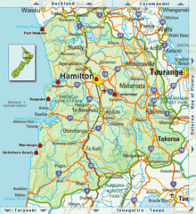
Waikato Region Map
3274 miles away
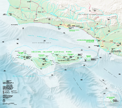
Channel Islands National Park Official Park Map
Official NPS map of Channel Islands National Park in California. Channel Islands National Park...
3288 miles away
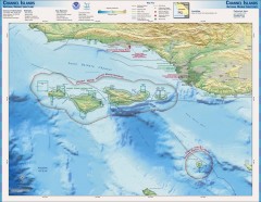
Channel Islands National Marine Sanctuary Map
Topo and bathymetric map of Channel Islands National Marine Sanctuary, located about 23 miles from...
3290 miles away
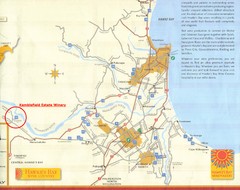
Hawkes Bay Wine Country Map
Tourist map of Hawkes Bay Wine Country near Hastings, New Zealand
3295 miles away
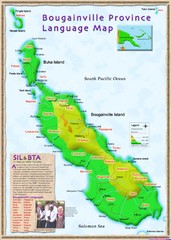
Bougainville Province language Map
3297 miles away
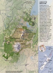
Tongariro National Park Map
3302 miles away
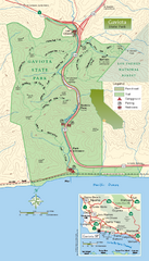
Gaviota State Park Zoom Map
Zoom map of park with detail of trails and recreation zones
3303 miles away
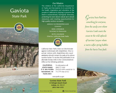
Gaviota State Park Map
Map of park with detail of trails and recreation zones
3303 miles away
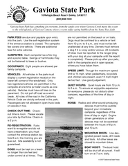
Gaviota State Park Campground Map
Map of campground region of park with detail of trails and recreation zones
3303 miles away
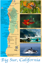
Big Sur Map
Tourist map of Highway 1 area near Big Sur, California
3304 miles away
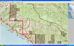
Timber Top, Big Sur Map
Route we climbed to Timber Top in Big Sur. Very steep trail.
3305 miles away

Limeklin State Park Map
Map of park with detail of trails and recreation zones
3306 miles away
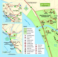
San Simeon State Park West Map
Map of west region of park with detail of trails and recreation zones
3306 miles away

San Simeon State Park Map
Map of park with detail of trails and recreation zones
3306 miles away
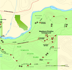
San Simeon State Park East Map
Map of east region of park with detail of trails and recreation zones
3307 miles away
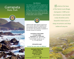
Garrapata State Park Map
Map of park with detail of trails and recreation zones
3308 miles away
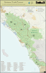
Ventana Wilderness Trails Map
Trail map of the Ventana Wilderness east of Big Sur. Also shows trails in the Silver Peak...
3308 miles away
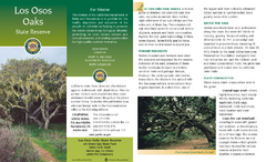
Los Osos Oaks State Reserve Map
Map of reserve with detail of trails and recreation zones
3308 miles away
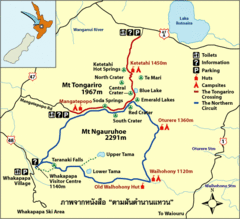
Tongariro National Park Map
3309 miles away
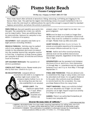
Pismo Beach Oceano Campground Map
Map of oceano campground region of park with detail of trails and recreation zones
3309 miles away
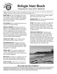
Refugio State Beach Campground Map
Map of campground region of beach with detail of trails and recreation zones
3309 miles away
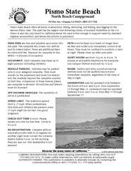
Pismo Beach North Campground Map
Map of park with detail of trails and recreation zones
3309 miles away
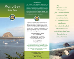
Morro Bay State Park Map
Map of park with detail of trails and recreation zones
3310 miles away
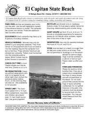
El Capitan State Beach Campground Map
Map of campground region park with detail of trails and recreation zones
3311 miles away
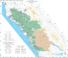
Los Padres National Forest Map - North
Overview map of the northern section of Los Padres National Forest in the Monterey Ranger District...
3311 miles away
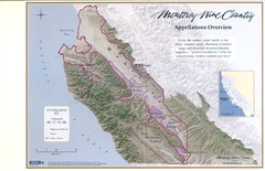
Monterey Wine Country: Appellation Overview Map
The Monterey region is world-famous for unparalleled scenic beauty, golf, and cuisine. Millions of...
3314 miles away
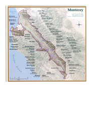
Monterey Wine Country: Appellation Overview Map
The Monterey region is world-famous for unparalleled scenic beauty, golf, and cuisine. Millions of...
3314 miles away
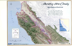
Monterey Wine Country: Appellation Overview Map
The Monterey region is world-famous for unparalleled scenic beauty, golf, and cuisine. Millions of...
3314 miles away
Monterey State Historic Park Map
Map of park with detail of trails and recreation zones
3314 miles away
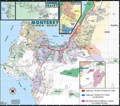
Monterey Area Map
Shows Monterey / Carmel area. Has legend on it with route highlighted to Naval housing.
3314 miles away
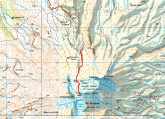
Mt Ruapehu Topo Route Map
Topo map with route to summit of Mt Ruapehu, New Zealand's North Island's highest...
3314 miles away
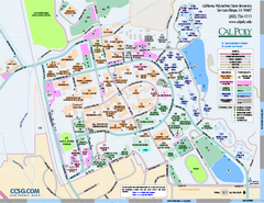
California Polytechnic State University Map
California Polytechnic State University Campus Map. All buildings shown.
3314 miles away
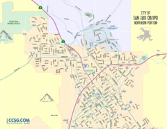
San Luis Obispo City Map - Northern Portion
City map of northern portion of San Luis Obispo, California
3314 miles away
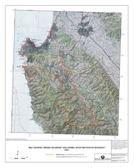
Monterey Peninsula and Carmel River Watershed...
This map contains a digital raster graphic topographic base map of the Monterey Peninsula Water...
3315 miles away
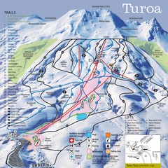
Turoa Ski Trail Map
Ski trail map
3315 miles away
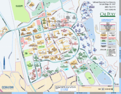
Cal Poly Campus Map
Cal Poly University at San Luis Obispo Campus Map. Includes all buildings, streets, sports fields...
3315 miles away

Tukino Ski Trail Map
Trail map from Tukino.
3315 miles away
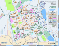
Cal Poly Campus Map
Campus map of California Polytechnic State University in San Luis Obispo, CA
3315 miles away
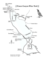
Foxen Canyon Wine Trail Map
Foxen Canyon area wineries and vineyards, near Santa Barbara, California.
3316 miles away

