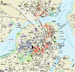
Boston National Historical Park Official Park Map
Official NPS map of Boston National Historical Park in Boston, Massachusetts. From park brochure...
75 miles away
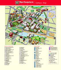
Northeastern University Map
Northeastern University Campus Map. All areas shown.
75 miles away
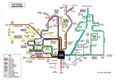
Guilford Bus Services Map
75 miles away
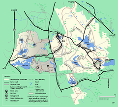
Harold Parker State Forest trail map
Trail map of Harold Parker State Forest in Massachusetts
75 miles away
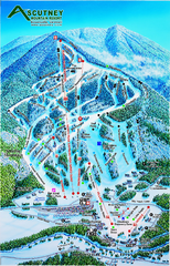
Ascutney Mountain Ski Trail Map 2006-07
Official ski trail map of Ascutney ski area from the 2006-2007 season.
75 miles away
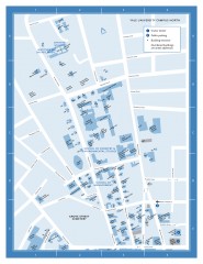
Yale University Campus North Map
Yale University Campus Map - North Campus, including School of Forestry & Environmental Studies...
76 miles away
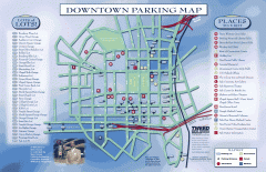
Downtown New Haven Parking Map
Shows locations of all town parking lots and also points of interest
76 miles away
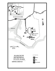
Harkness Memorial State Park map
Trail map of Harkness Memorial State Park in Connecticut.
76 miles away
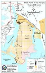
Bluff Point State Park map
Trail map for Bluff Point State Park and Coastal Reserve.
77 miles away
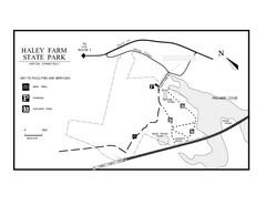
Haley Farm State Park map
Trail map of Haley Farm State Park in Connecticut.
77 miles away
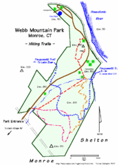
Webb Moutain Park Map
77 miles away

Yale University Map
77 miles away
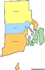
Rhode Island Counties Map
77 miles away
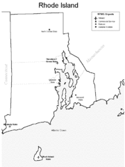
Rhode Island Airports Map
77 miles away
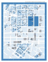
Yale University Campus South and Medical Center...
Yale University Campus South and Medical Center, including the Hewitt Quad, Cross Campus, Old Campus
77 miles away

Hammonasset Beach State Park map
Trail map for Hammonasset Beach State Park in Connecticut.
77 miles away

Hammonasset Beach State Park campground map
Campground map of Hammonasset State Park in Connecticut.
77 miles away
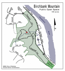
Birchbank Park Map
77 miles away
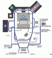
Boston/General Edward Lawrence Logan...
Terminal map of Boston/General Edward Lawrence Logan International Airport. Shows all areas.
77 miles away

Poets Walk Trail Map
Guide to Poet's Walk and Hudson River Overlook
77 miles away
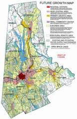
Danbury Regional Growth Map
Guide to future growth of Danbury, CT and surrounds
77 miles away
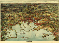
Walker's Map of Boston Harbor and Environs...
Walker's map of Boston Harbor and immediate environs from 1905.
77 miles away
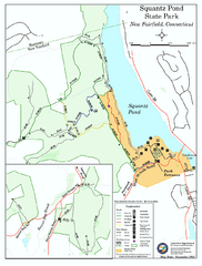
Squantz Pond State Park map
Trail and campground map for Squantz Pond State Park in Connecticut.
77 miles away
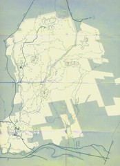
Bear Brook Trails Map
Bear Brook Park Trails and Park map in New Hampshire
78 miles away
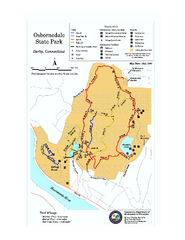
Osbornedale State Park map
Trail map of Osborndale State Park in Connecticut.
78 miles away
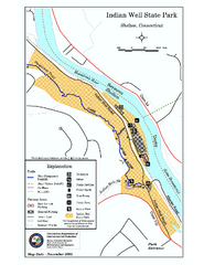
Indian Well State Park map
Trail map for Indian Well State Park in Connecticut.
78 miles away
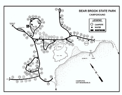
Bear Brook State Park Campground map
Campground map of Bear Brook State Park in New Hampshire
78 miles away
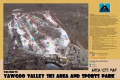
Yawgoo Valley Ski Trail map
Map of Yawgoo Valley Ski area in Exeter, Rhode Island. It is the only skiing resort in Rhode...
78 miles away
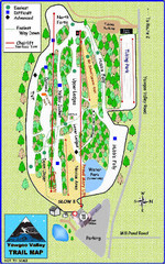
Yawgoo Valley Ski Area Ski Trail Map
Trail map from Yawgoo Valley Ski Area.
78 miles away
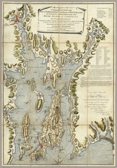
Narrangansett Bay Map 1777
"A Topographical CHART of the BAY of NARRAGANSET in the Province of NEW ENGLAND. with the...
78 miles away
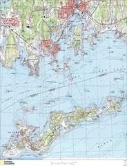
Fishers Island Map
In Long Island Sound
78 miles away
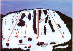
Ski Bradford Ski Trail Map
Trail map from Ski Bradford.
79 miles away
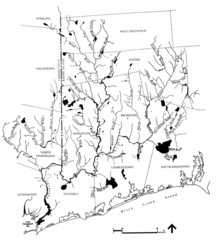
Rhode Island Coastal Watershed Map
Paddling Guide of Pawcatuck River Watershed
79 miles away
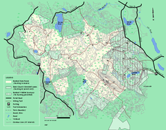
Boxford State Park trail map
Trail map of Boxford State Forest in Massachusetts
79 miles away
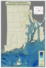
Rhode Island Shaded Bathymetry Map
Bathymetric map of Rhode Island with Narrangansett Bay and Rhode Island Sound. Graduated...
80 miles away
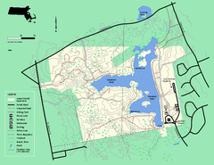
Ames Nowell State Park Map
Trail map of Ames Nowell State Park in Massachusetts
80 miles away
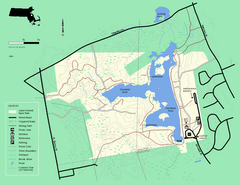
Ames Nowell State Park Map
Simple map of this beautiful state park. Visit and hike, bike, and shop!
80 miles away
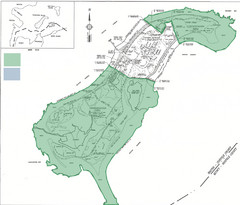
Thompson Island Easement Map
Map of Thompson Island easement. Includes roads, buildings, trails and attractions as well as the...
81 miles away
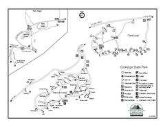
Coolidge State Park Campground Map
Campground map of Coolidge State Park in Vermont
81 miles away
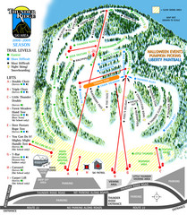
Thunder Ridge Ski Trail Map
Trail map from Thunder Ridge.
81 miles away

