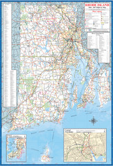
Rhode Island Road Map
Official Rhode Island state highway map. Insets show Newport and Providence.
72 miles away
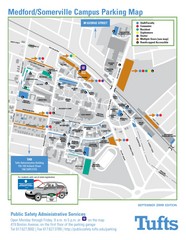
Medford Campus Map
Clear map indicating buildings and parking areas.
72 miles away
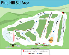
Blue Hills Ski Area Ski Trail Map
Trail map from Blue Hills Ski Area.
73 miles away
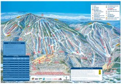
Okemo Mountain Resort ski trail map 2006-07
Official ski trail map of Okemo ski area for the 2006-2007 season. Slopes & Trails 624 acres...
73 miles away
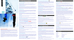
Okemo Mountain Resort Ski Trail Map
Trail map from Okemo Mountain Resort.
73 miles away
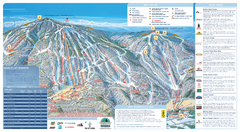
Okemo Ski Trail Map
Ski trail map of Okemo ski area. A James Niehues creation.
73 miles away
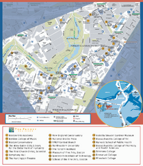
Fenway Cultural District Map
Map of the Fenway Cultural District. Shows schools, museums, libraries, and other cultural points...
73 miles away
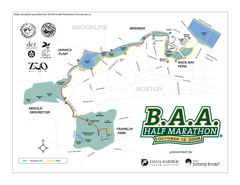
Boston Athletic Association Half Marathon Map
Guide to the Boston Half Marathon, organized by the Boston Athletic Association
73 miles away
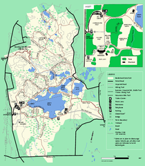
Borderland State Park trail map
Trail map of Borderland State Park in Massachusetts
73 miles away
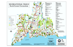
South Central Connecticut Recreational Trail Map
Map of South Central Connecticut showing all recreational trails and open spaces.
73 miles away
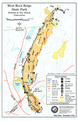
West Rock Ridge State Park map
Trail map of West Rock Ridge State Park in Connecticut.
73 miles away
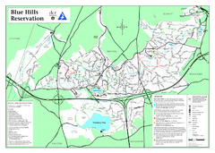
Blue Hills State Park Map
Clearly marked state park map of this beautiful state park.
74 miles away
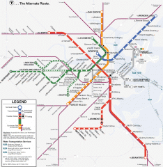
Boston Subway T Map
Massachusetts Bay Transportation Authority (MBTA) map of the Boston T subway system. Includes...
74 miles away
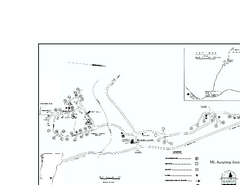
Ascutney State Park map
Campground map of Ascutney State Park in Vermont
74 miles away
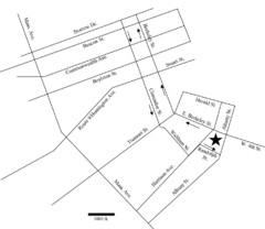
Rotch Field Location Map
Directions to Rotch Playing Field in Boston Common.
74 miles away
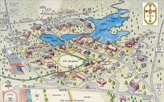
St. Paul's School Campus Map
Campus map of St. Paul's School
74 miles away
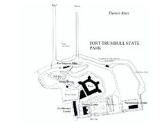
Fort Trumbull State Park map
Map of Fort Trumbull State Park in Connecticut.
74 miles away
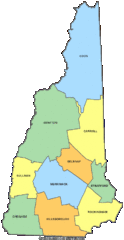
New Hampshire Counties Map
74 miles away
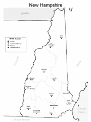
New Hampshire Airports Map
74 miles away
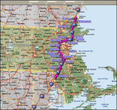
Interstate 95 Cities in Massachusetts Map
75 miles away
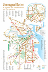
Boston Neighborhood Map
75 miles away
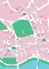
Boston Neighborhood Map
75 miles away
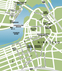
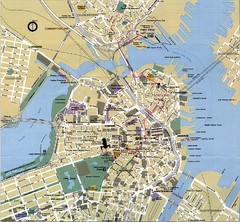
Central Boston Tourist Map
75 miles away
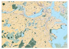
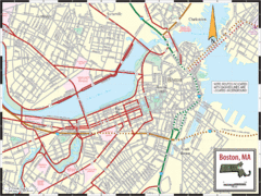
Boston, Massachusetts City Map
75 miles away
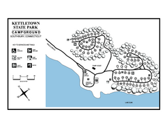
Kettletown State Park campground map
Campground map for Kettletown State Park in Connecticut.
75 miles away
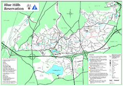
Blue Hills Reservation Trail Map
Trail map of the Blue Hills Reservation in Massachusetts
75 miles away
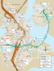
I-93 & I-90 Boston Map
Detail of exits and on-ramps for downtown Boston.
75 miles away
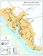
Kettletown State Park trail map
Trail map for Kettletown State Park in Connecticut.
75 miles away
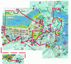
Boston 'Beantown Trolley' map
Tourist map of Boston, Mass. showing route of the Beantown Trolley, various points of interest and...
75 miles away
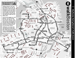
Walking Map of Boston, Massachusetts
Tourist map of Boston, Massachusetts, showing walking routes and times, as well as museums, squares...
75 miles away
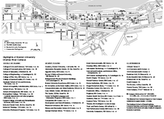
Boston University Charles River Campus Map
Campus map of Boston University. Charles River Campus. All areas shown.
75 miles away
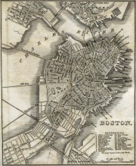
Antique map of Boston from 1842
Antique map of Boston from Tanner, H.S. The American Traveller; or Guide Through the United States...
75 miles away
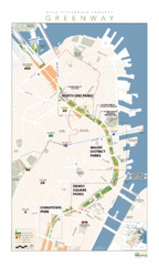
Rose Fitzgerald Kennedy Greenway Map
Boston's extensive heritage of parklands and common ground includes the Emerald Necklace...
75 miles away
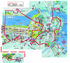
Boston Beantown Trolley Route Map
Route Map for the Boston Beantown trolley. Shows the trolley route, all stops, and a colorful...
75 miles away
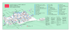
Boston University Medical Campus and Boston...
Boston University Medical Campus and Boston Medical Center area map. All buildings shown.
75 miles away
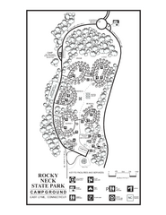
Rocky Neck State Park campground map
Campground map of Rocky Neck State Park in Connecticut.
75 miles away
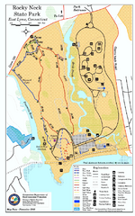
Rocky Neck State Park trail map
Trail map of Rocky Neck State Park in Connecticut.
75 miles away

