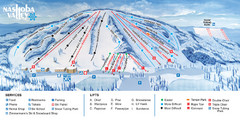
Nashoba Valley Ski Area Ski Trail Map
Trail map from Nashoba Valley Ski Area.
56 miles away
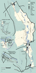
Blackstone Trail Map
Map of Blackstone River State Park in Massachusetts.
56 miles away
Shaftsbury State Park Map
Campground map of Shaftsbury State Park in Vermont.
56 miles away

Salmon River State Forest trail map
Trail map for Salmon River State Forest in Connecticut.
56 miles away
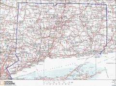
Connecticut State Parks Map
This is statewide map for Connecticut state parks. Go to the source website for detailed hiking...
57 miles away
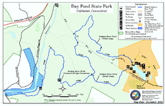
Daypond State Park map
Trail map for Day Pond State Park
57 miles away
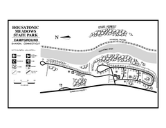
Housatonic State Forest campground map
Campground map of Housatonic State Forest in Connecticut.
57 miles away
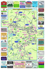
Columbia County - Boston Corners, Copake, Copake...
Tourist map of Columbia County, Mass. Includes towns of Boston Corners, Copake, Copake Falls...
57 miles away
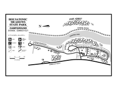
Housatonic Meadows State Park campground map
Campground map for Housatonic Meadows State Park in Connecticut.
57 miles away
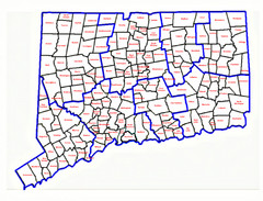
Connecticut Town Map
57 miles away
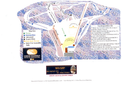
Arrowhead Arrowhead Ski Trail Map
Trail map from Arrowhead.
58 miles away
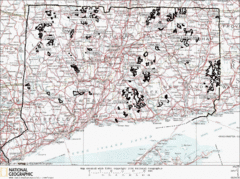
Connecticut State Forests Map
This is a map of all of the state forest boundaries in Connecticut. Follow the source web address...
58 miles away
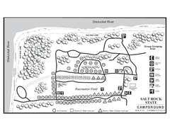
Salt Rock State Park campground map
Campground Map of Salt Rock State Campground in Connecticut.
58 miles away
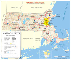
Massachusetts Road Map
58 miles away
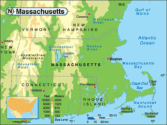
Massachusetts Rivers, Lakes, Mountains and...
58 miles away
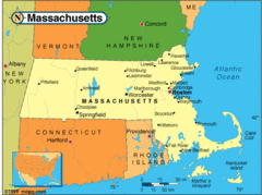
Massachusetts Cities Map
58 miles away
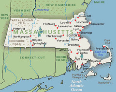
Massachusetts Cities and Mountains Map
58 miles away
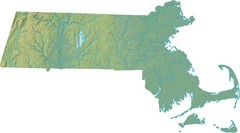
Maryland Relief Map
58 miles away
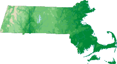
Massachusetts Elevations Map
58 miles away
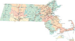
Massachusetts Road Map
58 miles away
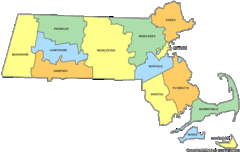
Massachusetts Counties Map
58 miles away
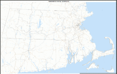
Massachusetts Zip Code Map
Check out this Zip code map and every other state and county zip code map zipcodeguy.com.
58 miles away
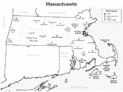
Massachusetts Airports Map
58 miles away
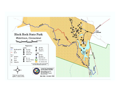
Black Rock State Park trail map
Trail map of Black Rock State Park in Connecticut.
58 miles away
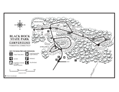
Black Rock Campground map
Map of the Campgrounds in Black Rock State Park.
58 miles away
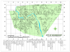
Woonsocket Street Map
Street map of Woonsocket, Rhode Island. Shows street legend.
58 miles away
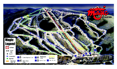
Magic Mountain Ski Trail map
Official ski trail map of Magic Mountain ski area from the 2006-2007 season.
58 miles away
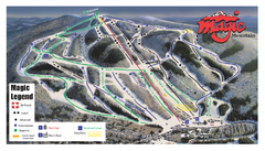
Magic Mountain Ski Trail Map
Trail map from Magic Mountain.
58 miles away
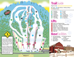
Mt. Southington Ski Area Ski Trail Map
Trail map from Mt. Southington Ski Area, which provides downhill, night, and terrain park skiing...
59 miles away
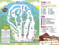
Mount Southington Ski Trail Map
Official ski trail map of Mount Southington ski area from the 2007-2008 season.
59 miles away
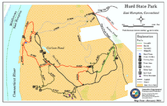
Hurd State Park trail map
Trail map for Hurd State Park in Connecticut.
59 miles away
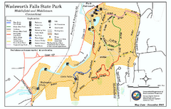
Wadsworth Falls State Park map
Trail map of Wadsworth Falls State Park in Connecticut.
59 miles away

Camp Morgan Trail Map
59 miles away
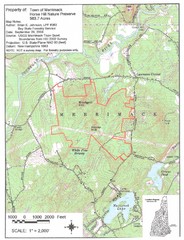
Merrimack Topo Map
A Topographical map Horse Hill Nature Preserve.
60 miles away
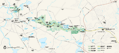
Minute Man National Historical Park Official Map
Official NPS map of Minute Man National Historical Park in Massachusetts. Map shows all areas. The...
60 miles away
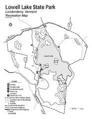
Lowell Lake State Park map
Campground map for Lowell Lake State Park in Vermont
60 miles away
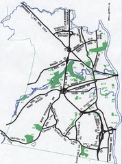
Nashua Parks Map
Map of Nashua, New Hampshire parks
60 miles away
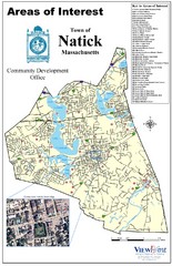
Natick Areas Of Interest Map
Shows points of interest in town of Natick, Massachusetts. Inset of downtown Natick.
60 miles away
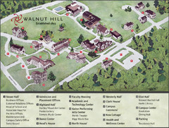
Walnut Hill School Map
Campus Map
60 miles away
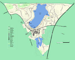
Walden Pond State Reservation trail map
Trail map of Walden Pond State Reservation
60 miles away

