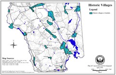
Historic Villages of Mansfield, Connecticut Map
Historical villages outlined on the map of the existing city.
47 miles away
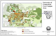
University of Connecticut Campus Map
Map shows current, funded projects and future development for UConn.
47 miles away
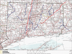
Connecticut Long Distance Trails Map
A map of long distance trails throughout Connecticut. Go to the website below for detailed trail...
47 miles away
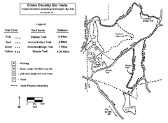
Pulaski State Park Map
48 miles away
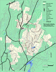
Upton State Forest trail map
Trail map for Upton State Forest in Massachusetts.
48 miles away
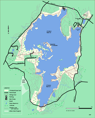
Whitehall State Park trail map
Trail map of Whitehall State Park in Massachusetts.
49 miles away
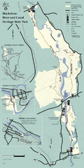
Heritage State Park Map
Clear state park map marking trails and facilities.
49 miles away
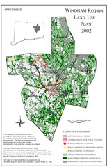
2002 Windham Region Land Use Map
Regional Land Use Guide Map for Planning Purposes
49 miles away
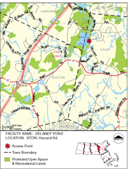
Delaney Conservation Land Map
50 miles away
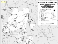
George Washington Wildlife Management Area Map
50 miles away
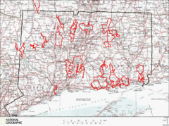
Connecticut Road Cycling Routes Map
A map of road cycling routes throughout Connecticut. Follow the link below for detailed route maps...
50 miles away
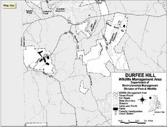
Durfee Hill Wildlife Management Area Map
50 miles away
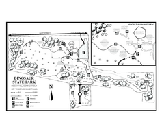
Dinosaur State Park map
Trail map of Dinosaur State Park in Connecticut.
50 miles away
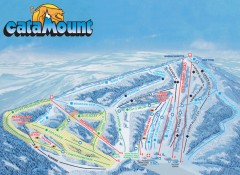
Catamount Ski Trail Map
Official ski trail map of Catamount ski area from the 2006-2007 season.
51 miles away
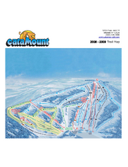
Catamount Ski Area Ski Trail Map
Trail map from Catamount Ski Area.
51 miles away
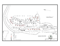
Jamaica State Park Campground Map
Campground map of Jamaica State Park in Vermont
51 miles away
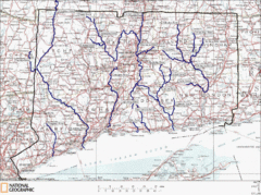
Connecticut Rivers and Coastal Paddling Map
This is a map of paddling areas for rivers and coastal kayaking. Follow the link below for...
51 miles away
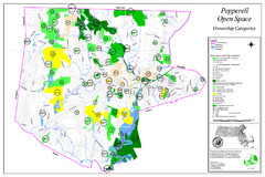
Pepperell Conservation Land and Open Spaces Map
Map showing conservation land and open spaces in Pepperell, MA.
52 miles away
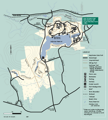
Hopkinton State Park trail map
Trail map of Hopkinton State Park in Massachusetts
52 miles away
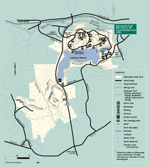
Hopkinton State Park trail map
Trail map of Hopkinton State Park in Massachusetts
52 miles away
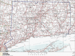
Connecticut Rock Climbing Locations Map
A map of most of the important rock climbing and bouldering areas in Connecticut. Click the link...
52 miles away
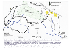
Sprague Farm - Glocester Land Trust Map
53 miles away
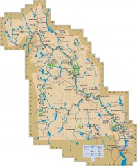
Blackstone Valley tourist map
Tourist map of the Blackston Valley in Rhode Island and Massachusetts. Shows hiking, biking, and...
53 miles away
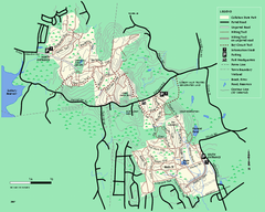
Callahan State Park trail map
Trail map of Callahan State Park in Massachusetts
54 miles away
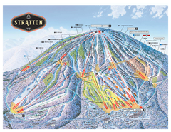
Stratton Mountain ski area trail map 2006-07
Official ski trail map of Stratton Mountain ski area from the 2006-2007 season.
54 miles away

Topsmead State Forest map
Trail map for Topsmead State Forest in Connecticut.
54 miles away
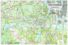
Ashland, MA - Topo Map
Map is provided by the town of Ashland, MA. See town's website for additional maps and...
54 miles away
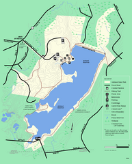
Ashland State Park Map
Clear map and legend marking trails, parking, facilities and more.
54 miles away
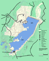
Ashland State Park Map
Map of Ashland State Park in Massachusetts.
55 miles away
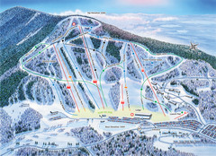
Crotched Mountain Ski Trail Map
Trail map from Crotched Mountain.
55 miles away
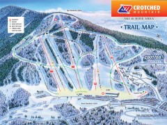
Crotched Mountain Ski Trail Map
Official ski trail map of Crotched Mountain ski area from the 2007-2008 season.
55 miles away
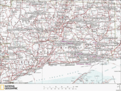
Connecticut Canoeing and Kayaking Lakes Map
A map of the lakes and ponds that are open for canoeing and kayaking in Connecticut. For detailed...
55 miles away
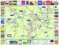
Columbia County - Austerlitz, Canaan, Chatham...
Tourist map of Columbia County including towns of Austerlitz, Canaan, Chatham, East Chatham Ghent...
55 miles away

North Mohawk Mountain State Forest (Winter Trails...
Winter trail map for North Mohawk Mountain State Forest in Connecticut.
55 miles away

North Mohawk Mountain State Forest (Summer Trails...
Summer trail map of the North section of Mohawk Mountain State Forest in Connecticut.
55 miles away
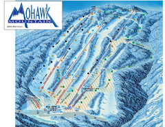
Mohawk Mountain Ski Trail Map
Ski trail map of Mohawk Mountain ski area
55 miles away
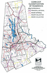
Connecticut Roadway Classification Map
55 miles away

South Mohawk Mountain State Forest (Winter Trails...
Winter trial map for the Southern Section of Mohawk Mountain State Forest in Connecticut.
56 miles away
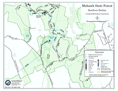
South Mohawk Mountain State Forest (Summer Trails...
Summer trails for South Mohawk State Forest in Connecticut.
56 miles away

