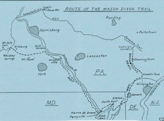
Mason Dixon Trail Map
Hand drawn map of the Mason-Dixon Trail. The 193 mile long Mason-Dixon Trail starts on the...
254 miles away
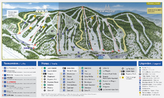
Mont Avila Ski Trail Map
Trail map from Mont Avila, which provides downhill skiing. This ski area has its own website.
256 miles away
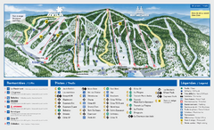
Mont Saint-Sauveur Ski Trail Map
Trail map from Mont Saint-Sauveur, which provides downhill skiing. This ski area has its own...
256 miles away
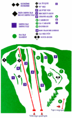
Mont Habitant Ski Trail Map
Trail map from Mont Habitant, which provides downhill skiing. This ski area has its own website.
256 miles away
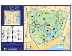
Lums Pond State Park Map
Clear legend and map of this wonderful state park.
256 miles away
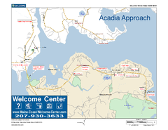
Acadia Approach Map
Maine Coast Welcome Center's local Map of the approach to Acadia, Me with recommended business...
257 miles away
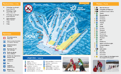
Mont Olympia Ski Trail Map
Trail map from Mont Olympia, which provides downhill skiing. This ski area has its own website.
258 miles away
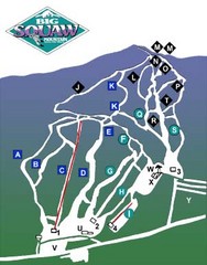
Big Squaw Ski Trail Map
Trail map from Big Squaw, which provides downhill skiing. It has 2 lifts; the longest run is 2253...
258 miles away

Leonard Harrison State Park Map
Detailed map for Leonard Harrison State Park in Pennsylvania.
258 miles away
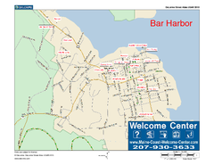
Bar Harbor, Maine, Us Map
Maine Coast Welcome Center's local Map of Bar Harbor, Me with recommended business locations.
258 miles away
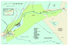
Little Pine State Park Map
Detailed recreation map for Little Pine State Park in Pennsylvania
258 miles away
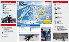
Mont Gabriel Ski Trail Map
Trail map from Mont Gabriel, which provides downhill skiing. This ski area has its own website.
259 miles away

St. John Fisher College Map
Campus map
259 miles away

Hershey Park Official Map
Official 2007 map of the Hershey Theme Park in Hershey, PA
259 miles away
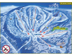
Ski Morin Heights Ski Trail Map
Trail map from Ski Morin Heights, which provides downhill skiing. This ski area has its own website.
259 miles away

R. B. Winter State Park map
Recreation map for R. B. Winter State Park in Pennsylvania
259 miles away
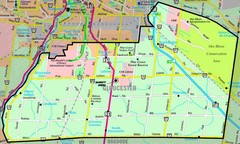
Gloucester Map
Street-map of Gloucester district
260 miles away
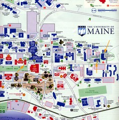
University of Maine Map
Campus map
260 miles away
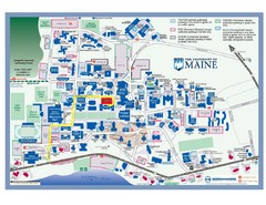
University of Maine Campus Map
260 miles away
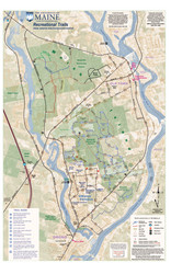
University of Maine Recreation Trails Map
Trails marked connecting two busy towns of Old Town and Orono.
261 miles away
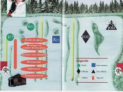
Les Cotes 40/80 Ski Trail Map
Trail map from Les Cotes 40/80.
261 miles away
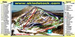
Mont Adstock Ski Trail Map
Trail map from Mont Adstock, which provides downhill skiing. This ski area has its own website.
261 miles away
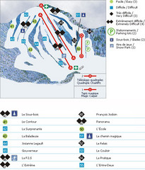
Le Chantecler Ski Trail Map
Trail map from Le Chantecler, which provides downhill skiing. This ski area has its own website.
261 miles away
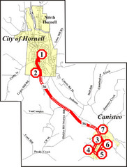
Canisteo-Hornell Bus Route Map
262 miles away
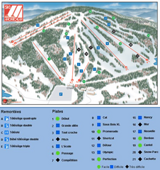
Ski Montcalm Ski Trail Map
Trail map from Ski Montcalm, which provides downhill skiing. This ski area has its own website.
262 miles away
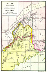
Maine Boundary Controversy 1782-1842 Map
Here you can all the British and American claims and proposals to settle the Maine boundary with...
263 miles away
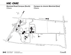
National Research Council Map
Montreal Road Campus visitor map, also in French. Provides location of campus buildings and roads.
263 miles away

Digital Elevation Model (DEM) of Conesus Lake Map
Digital Elevation Model (DEM) of Conesus Lake Map created in ARC Gis
263 miles away
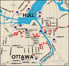
Ottawa Tourist Map
264 miles away
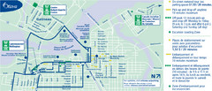
Ottawa Bus Tour Map
264 miles away
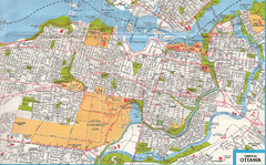
Ottawa, Ontario Tourist Map
264 miles away
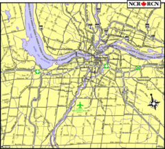
Ottawa, Ontario Tourist Map
264 miles away

Ottawa, Ontario Tourist Map
264 miles away
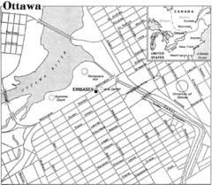
Ottawa, Ontario Tourist Map
264 miles away
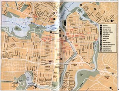
Ottawa Tourist Map
Tourist map of capital city of Ottawa, Canada. Shows tourist points of interest.
264 miles away

Downtown Rochester, New York Map
Tourist map of downtown Rochester, New York. Various areas of interest, parking, and streets are...
264 miles away
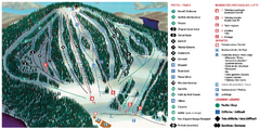
Belle Neige Ski Trail Map
Trail map from Belle Neige, which provides downhill skiing. This ski area has its own website.
265 miles away

Rochester, New York City Map
265 miles away

Susquehannock State Park map
Detailed recreation map for Susquehannock State Park in Pennsylvania
265 miles away

