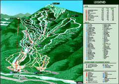
Whiteface Mountain—Lake Placid Ski Trail Map
Trail map from Whiteface Mountain—Lake Placid.
153 miles away
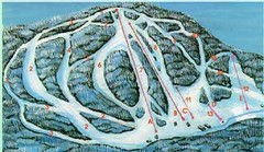
McCauley Mountain Ski Trail Map
Trail map from McCauley Mountain.
154 miles away
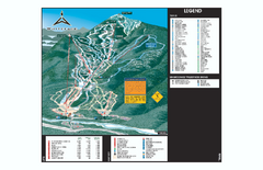
Whiteface Ski Trail Map
Official ski trail map of Whiteface 2006-2007 season.
154 miles away
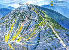
Sugarloaf Trail Map
Ski trail map of Sugarloaf mountain
154 miles away
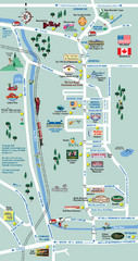
Mt. Washington Valley Restaurant Guide Map
Restaurants in Mt. Washington Valley, New Hampshire
155 miles away
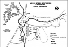
Moose Brook State Park map
Campground map of Moose Brook State Park in New Hampshire.
155 miles away
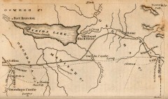
Antique map of Utica, NY from 1830
Map of Utica, NY from The Northern Traveller, and Northern Tour; with the Routes to The Springs...
155 miles away
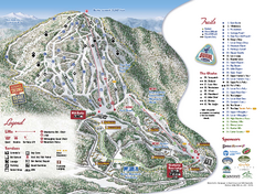
Burke Mountain Ski Trail Map
Official ski trail map of Burke Mountain ski area.
156 miles away
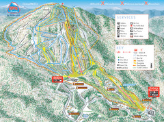
Burke Mountain Ski Trail Map
Trail map from Burke Mountain.
156 miles away
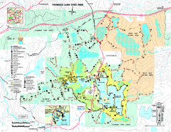
Promised Land State Park map
Detailed recreation map for Promised Land State Park in Pennsylvania
157 miles away
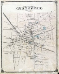
Antique map of Metuchen from 1876
Historic map of Metuchen, New Jersey from 1876
158 miles away
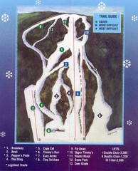
Woods Valley Ski Area Ski Trail Map
Trail map from Woods Valley Ski Area.
159 miles away
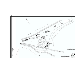
Sand Bar State Park Map
Campground map of Sand Bar State Park in Vermont
160 miles away
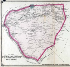
Antique map of Piscataway from 1876
Historic map of Piscataway, New Jersey from 1876.
160 miles away
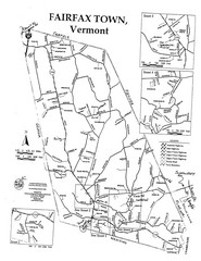
Fairfax Town Map
160 miles away
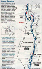
Deleware River Boat Map
161 miles away
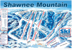
Shawnee Mountain Ski Trail Map
Trail map from Shawnee Mountain.
161 miles away
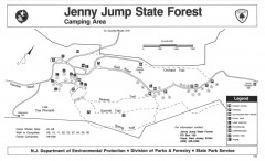
Jenny Jump State Forest map
Trail and camping map of Jenny Jump State Forest in New Jersey.
161 miles away
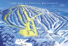
Elk Mountain Ski Trail Map
Trail map from Elk Mountain.
163 miles away
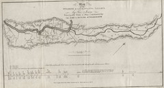
Wyoming and Lackawanna Valleys Map
Railbed from the coal mine at Carbondale to the canal on the Lackawaxen River. Historical map.
163 miles away
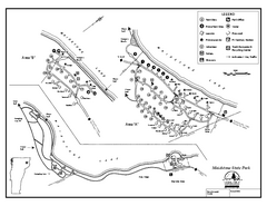
Maidstone State Park Campground Map
Campground map of Maidstone Lake State Park in Campground
164 miles away
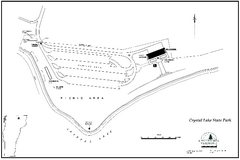
Crystal Lake State Park Map
Trail map of Crystal Lake State Park in Vermont
164 miles away
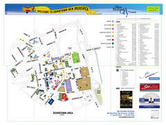
New Brunswick City Map
City map of New Brunswick, New Jersey with tourist information
164 miles away
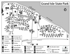
Grand Isle State Park Campground Map
Campground map for Grand Isle State Park in Vermont
165 miles away
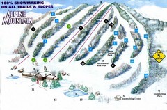
Alpine Mountain Ski Trail Map
Trail map from Alpine Mountain.
165 miles away
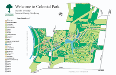
Colonial Park, Somerset, NJ Map
165 miles away
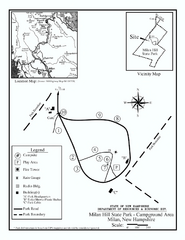
Milan Hill State Park Campground map
Campground map for Milan Hill State Park in New Hampshire.
165 miles away
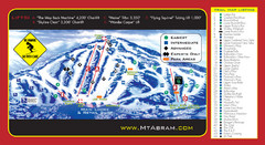
Mt. Abram Ski Resort Ski Trail Map
Trail map from Mt. Abram Ski Resort.
166 miles away
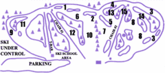
Lost Valley Ski Area Ski Trail Map
Trail map from Lost Valley Ski Area.
166 miles away
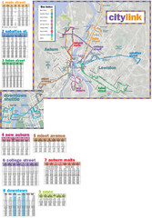
Citylink Route Map
Map of citylink bus routes throughout Auburn and Lewiston, Maine
166 miles away
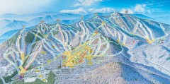
Sunday River Ski Trail map 2006-07
Official ski trail map of Sunday River ski area from the 2006-2007 season.
167 miles away
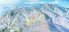
Sunday River Ski Resort Ski Trail Map
Trail map from Sunday River Ski Resort.
167 miles away
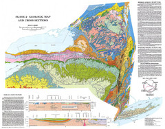
New York State Geologic Map
1:1,000,000 scale geological map of New York State
168 miles away
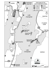
State Parks of the Champlain Islands Map
Map of the various State Parks of the Inland Sea / Lake Champlain area in Vermont
169 miles away
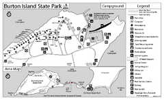
Burton Island State Park map
Campground map of Burton Island State Park in Vermont
170 miles away
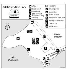
Kill Kare State Park map
Campground map of Kill Kare State park in Vermont
170 miles away
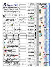
Belmar Tourist Map
Tourist map of Belmar, New Jersey beachfront. Shows beach services.
171 miles away
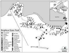
Brighton State Park map
Campground map of Brighton State Park in Vermont
171 miles away
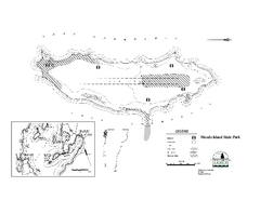
Woods Island State Park Campground Map
Campground map of Woods Island State Park in Vermont
172 miles away
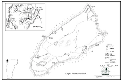
Knight Island State Park Campground Map
Map of Knight Island State Park in Vermont
173 miles away

