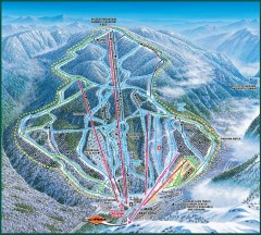
Wildcat Ski trail Map
Official ski trail map of Wildcat ski area
146 miles away
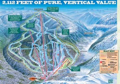
Wildcat Mountain Ski Trail Map
Trail map from Wildcat Mountain.
146 miles away
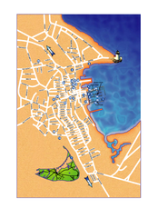
Nantucket Town Street Map
Tourist map of town of Nantucket on Nantucket Island. Shows major streets and points of interest...
146 miles away
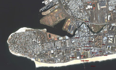
Coney Island Map
Aerial photo Coney Island map
146 miles away
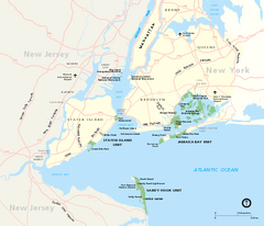
Gateway National Recreation Area Map
Park map of lands in the NPS Gateway National Recreation Area in New York and New Jersey. Shows...
146 miles away
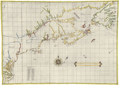
Velasco Map 1610
146 miles away
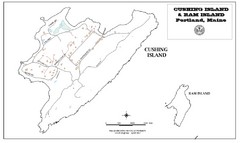
Cushing Island Map
Also shows Ram Island
146 miles away
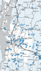
Chittenden County Map
147 miles away
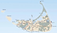
Tourist Map of Nantucket Island
Tourist map of Nantucket Island. Shows all towns and information.
147 miles away
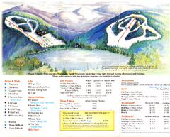
Mount Tone Ski Trail Map
Trail map from Mount Tone.
147 miles away
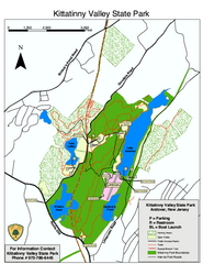
Kittatinny Valley State Park trail map
Trail map of Kittatinny Valley State Park in New Jersey. Shows hunting areas and trails.
148 miles away
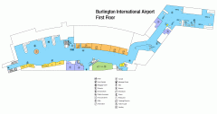
Burlington International Airport Terminal Map
Official Terminal Map of Burlington International Airport. All areas shown.
148 miles away
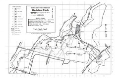
Hedden Park Map
Hedden County Park Trail Map
149 miles away
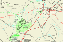
Morristown National Historical Park Official Map
Official NPS map of Morristown National Historical Park in New Jersey. Shows all areas. Tours...
149 miles away

Staten Island Subway/Railway Map
149 miles away

Downtown Morriston Map
149 miles away
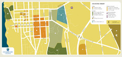
Burlington, Vermont City Tourist Map
The city of Burlington, Vermont
149 miles away
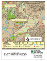
Staten Island Greenbelt Map
149 miles away
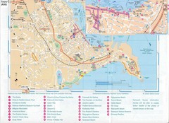
Falmouth Map
Map of Falmouth town and bay. Includes roads, parks, accommodations and attractions.
149 miles away
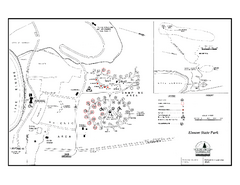
Elmore State Park map
Campground map of Elmore State Park in Vermont
149 miles away
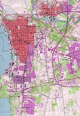
Burlington Vt 87 Map
Topographical map of the city of Burlington, Vt.
149 miles away
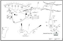
Underhill State Park Campground Map
Campground map for Underhill State Park in Vermont.
149 miles away
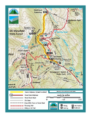
Smugglers Notch Trail Map
Trail map for Smugglers Notch State Park in Vermont
149 miles away
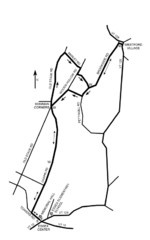
30K Race Course Map
Green Mountain Athletic Association Common to Common 30K Course Map in Essex Junction, VT
149 miles away
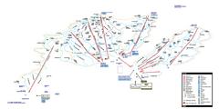
Stowe Mountain Resort Ski Trail Map
Trail map from Stowe Mountain Resort, which provides downhill, nordic, and terrain park skiing. It...
150 miles away
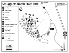
Smugglers Notch State Park Campground Map
Campground map of Smugglers Notch State Park in Vermont
150 miles away
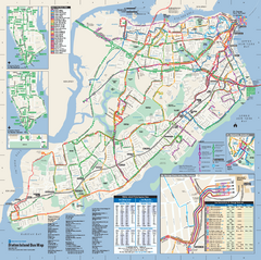
Staten Island Bus Map
Official Bus Map of Staten Island. Shows all routes.
150 miles away
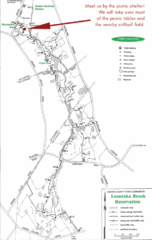
Loantaka Park Map
150 miles away
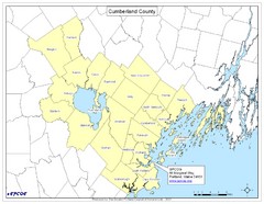
Cumberland County Map
Map showing all city divisions of Cumberland County, Maryland with specific location of the CPCOG.
151 miles away
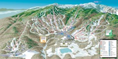
Stowe ski trail map 2006-07
Complete ski trail map of Stowe Mountain resort for 2006-2007 season.
151 miles away
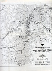
Mount Mansfield Map
Long Trail map for Green Mountains in Vermont
151 miles away
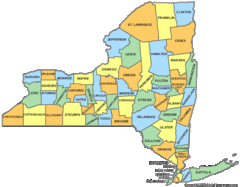
New York Counties Map
151 miles away
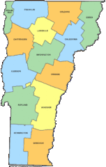
Vermont Counties Map
151 miles away
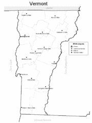
Vermont Airports Map
151 miles away

Lewis Morris Park Trail Map
152 miles away
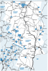
Caledonia County Map
152 miles away
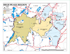
Adirondacks Canoeing Map
Guide to canoeing in the Adirondacks
152 miles away

Tanglwood Ski Area Ski Trail Map
Trail map from Tanglwood Ski Area, which provides downhill, night, and terrain park skiing. It has...
153 miles away
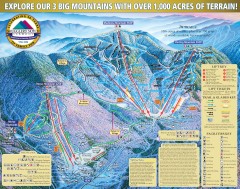
Smugglers' Notch Ski Trail map 2006-07
Official ski trail map of Smugglers' Notch (Smuggs) ski area from the 2006-2007 season.
153 miles away
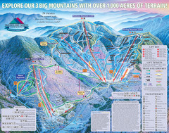
Smugglers’ Notch Resort Ski Trail Map
Trail map from Smugglers’ Notch Resort.
153 miles away

