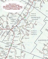
Waitsfield, Vermont City Map
127 miles away
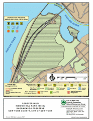
Inwood Hill Park Map
Park map of Inwood Hill Park in the Shorakapok Preserve, New York. 136 acres.
127 miles away
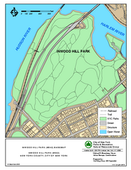
Inwood Hill Park Trail Map
Trail map of Inwood Hill Park located at the extreme northern tip of Manhattan. 136 acres.
127 miles away

Map of Fire Island National Seashore
Official Map of Fire Island National Seashore in New York. Shows all towns and information.
127 miles away
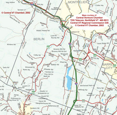
Berlin, Vermont Guide Map
127 miles away
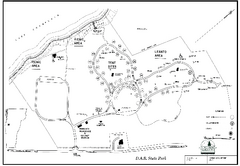
D.A.R. State Park map
Map of D.A.R. State park in Vermont
127 miles away
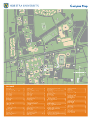
Hofstra University Campus Map
127 miles away
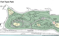
Fort Tyron Park Map
128 miles away
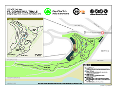
Highbridge Park mountain bike trail map
Mountain biking trail network opened in May 2007. Only mountain biking trails in Manhattan. 25...
128 miles away
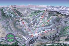
Mad River Glen Ski Area Trail Map
Official ski trail map of Mad River Glen ski area from the 2006-207 season.
128 miles away
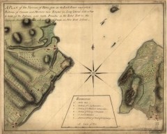
Oyster Bay and Huntington, Huntington Bay Map
A plan of the Narrows of Hells-gate in the East River, near which batteries of cannon and mortars...
128 miles away
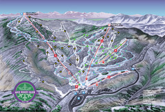
Mad River Glen Ski Trail Map
Trail map from Mad River Glen, which provides downhill skiing. It has 5 lifts servicing 45 runs...
128 miles away
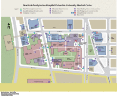
Columbia University Medical Center Map
129 miles away
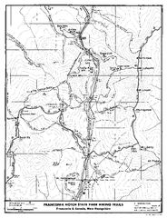
Franconia Notch Hiking Map
Map of hiking trails around Fanconia Notch State Park New Hampshire.
129 miles away
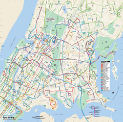
Bronx, New York Bus Map
Official MTA Bus Map of all of the Bronx, New York. Shows all routes.
129 miles away
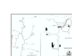
Seyon Lodge State Park Map
Campground map of Seyon Lodge State Park in Vermont
129 miles away
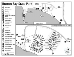
Button Bay State Park Campground Map
Campground map of Button Bay State Park in Vermont
130 miles away
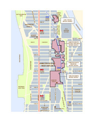
Hamilton Heights West Harlem Map
Hamilton Heights - West Harlem, New York City community map
130 miles away
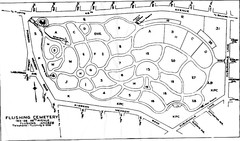
Flushing Cemetery Map
Map of the sections of Flushing Cemetery in Queens
130 miles away

Queens College Campus Map
3D map of Queens College campus. All buildings shown.
130 miles away

Hidden Valley Ski Trail Map
Trail map from Hidden Valley.
130 miles away
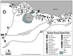
Ricker Pond State Park Campground Map
Campground map of Ricker Pond State Park in Vermont
130 miles away

Broadway Elevation Map
Illustrative section of Broadway, from 125th Street to 134th Street, looking east
131 miles away
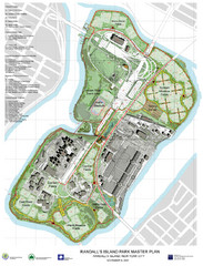
Randall's Island Park Map
Master plan for Randall's Island Park
131 miles away
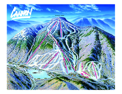
Cannon Mountain Ski Trail map
Ski trail map of Cannon ski area.
131 miles away
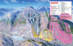
Cannon Mountain Ski Trail Map
Trail map from Cannon Mountain.
131 miles away
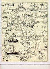
Wellfleet 1930s Tourist Map
A tourist map from the 1930s of Wellfeet, Massachusetts in Cape Cod. Courtesy of Cynthia Blakeley
131 miles away

Queens Botanical Garden Map
Shows facilities and names of different gardens. In many languages.
131 miles away

Mountain Creek South Ski Trail Map
Trail map from Mountain Creek.
131 miles away
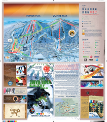
Mountain Creek North Ski Trail Map
Trail map from Mountain Creek.
131 miles away

Manhattan Waterfront Greenway Bike Map
Bike map of the Manhattan Waterfront Greenway. Shows walking and biking paths, ferry landings and...
131 miles away
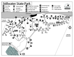
Stillwater State Park Campground Map
Campground map for Stillwater State Park in Vermont
131 miles away
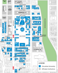
Columbia University Map
Campus map of Columbia University. All buildings shown.
131 miles away
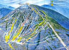
Sugarloaf Mountain Trail Map
Ski trail map
132 miles away
Upper Riverside Park Map
Riverside Park Map, Visitor Information as well as streets, bus routes, places to jog and bike.
132 miles away
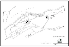
Boulder Beach State Park map
Map of Boulder Beach State Park on Lake Groton in Vermont.
132 miles away
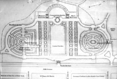
Central Park Conservatory Garden Map
Map of the Conservatory Garden in Central Park, New York City. Photo of outdoor map.
132 miles away
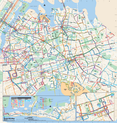
Queens, New York Bus Map
Official MTA Bus Map of Queens, NY. Shows all routes.
132 miles away
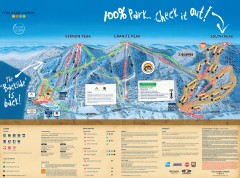
Mountain Creek Ski Trail Map
Official ski trail map of Mountain Creek ski area from the 2007-2008 season. (formerly Vernon...
132 miles away

