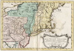
1773 New England Map
French map of New England
113 miles away
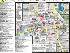
Huntington, New York Restaurant Map
114 miles away
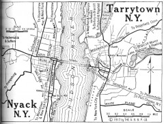
Antique map of Nyack and Tarrytown from 1917
Map of Nyack and Tarrytown, NY from Automobile Blue Book, 1917, Vol. 3
114 miles away
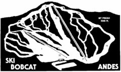
Bobcat Ski Center Ski Trail Map
Trail map from Bobcat Ski Center.
114 miles away
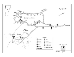
Allis State Park campground map
Campground map of Allis State Park in Vermont.
115 miles away
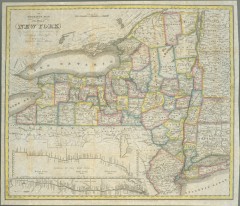
1831 Antique New York State map
The tourist's map of the state of New York : compiled from the latest authorities in the...
116 miles away
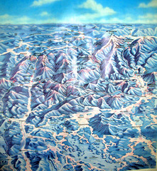
White Mountains New Hampshire Map
Old bird's eye view map of the White Mountain region of New Hampshire by Frank Thomas. Date of...
116 miles away
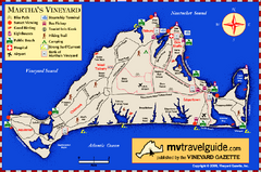
Martha's Vineyard Island Map
Tourist map of island of Martha's Vineyard, Massachusetts.
116 miles away

Tuxedo Ridge Ski Trail Map
Trail map from Tuxedo Ridge.
118 miles away
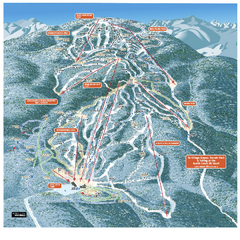
Gore Mountain Ski Trail Map
Trail map from Gore Mountain.
118 miles away
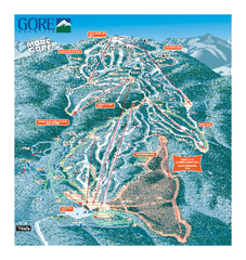
Gore Mountain Ski Trail Map
Trail map from Gore Mountain.
118 miles away
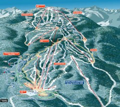
Gore Mountain Ski Trail Map
Official ski trail map of Gore Mountain ski area from the 2007-2008 season.
118 miles away
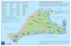
Martha's Vineyard Watershed Map
118 miles away
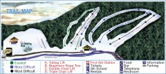
Holiday Mountain Ski Trail Map
Official ski trail map of Holiday Mountain ski area
119 miles away
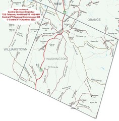
Washington, Vermont Map
120 miles away
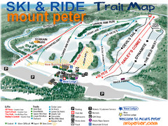
Mt. Peter Ski Area Ski Trail Map
Trail map from Mt. Peter Ski Area.
120 miles away
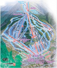
Waterville Valley Ski Trail Map
Official ski trail map of Waterville Valley ski area
120 miles away
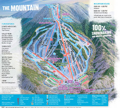
Waterville Valley Ski Trail Map
Trail map from Waterville Valley.
121 miles away
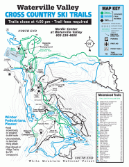
Waterville Valley Nordic Trail Map
Official nordic trail map. Over 70 kilometers (40 + miles) of groomed trails.
121 miles away
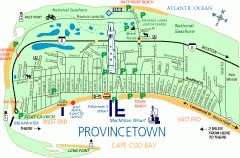
Provincetown, Massachusetts Map
Tourist map of Provincetown, Massachusetts. Shows beaches, visitor's center, bike trails, and...
121 miles away
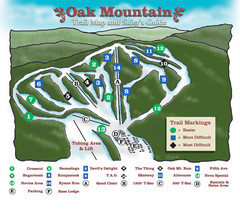
Oak Mountain Ski Center Ski Trail Map
Trail map from Oak Mountain Ski Center.
122 miles away
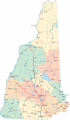
New Hampshire Road Map
Road map of New Hampshire
122 miles away
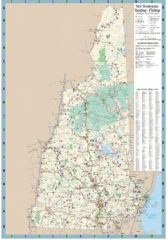
New Hampshire Boating and Fishing Public Access...
Shows public access boating and fishing sites and depth maps for state of New Hampshire
122 miles away
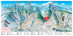
Sugarbush Resort Ski Trail Map
Trail map from Sugarbush Resort.
123 miles away
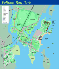
Pelham Bay Park NYC Map
Official detailed map of Pelham bay park, the largest park in New York City at 2,700 acres. Map...
124 miles away
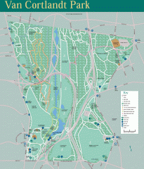
Van Cortlandt Park Trail Map
Trail map of Van Cortlandt Park in the Bronx. Covers 573 acres.
124 miles away
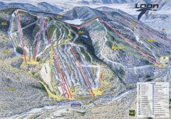
Loon Mountain Ski Trail Map
Official ski trail map of Loon Mountain ski area from the 2007-2008 season.
124 miles away
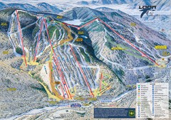
Loon Mountain Ski Trail Map
Trail map from Loon Mountain.
124 miles away

City Island Street Map
Street map of City Island, New York
124 miles away
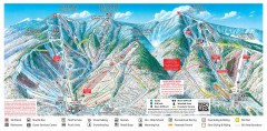
Sugarbush Resort ski trail map 2006-07
Official ski trail map of Sugarbush ski area from the 2006-2007 season.
125 miles away
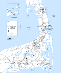
Cape Cod Rail Trail Map
Cape Cod Rail Trail map. The Cape Cod Rail Trail follows a former railroad right-of-way for 22...
125 miles away
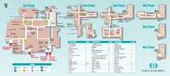
Cape Cod Hospital Map
Campus map of Cape Cod Hospital
126 miles away

Cape Cod Hospital Map
Map of external vicinity of Cape Cod Hospital
126 miles away
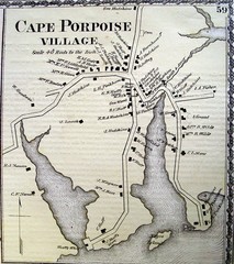
Cape Porpoise Village Map
126 miles away
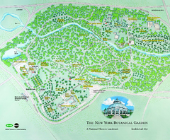
The New York Botanical Garden Map
Official Map of The New York Botanical Garden in New York. Shows all areas and different gardens.
126 miles away
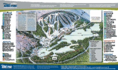
King Pine Ski Area Ski Trail Map
Trail map from King Pine Ski Area.
126 miles away
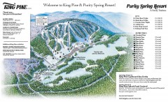
King Pine Ski trail Map
Official ski trail map of King Pine ski area from the 2006-2007 season.
126 miles away
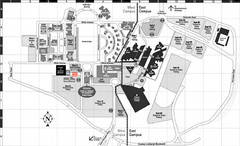
Nassau Community College Map
Campus Map
127 miles away
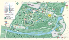
Bronx Zoo Map
Bronx Zoo. The Zoo is open 365 days a year. "Now through November 4, 2007, our hours are 10...
127 miles away
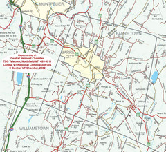
Barre, Vermont Guide Map
127 miles away

