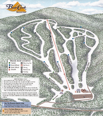
Bear Creek Mountain Club Ski Trail map
Official ski trail map of Bear Creek Mountain ski area.
81 miles away
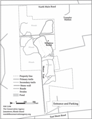
Parker Farm Trail Map
82 miles away
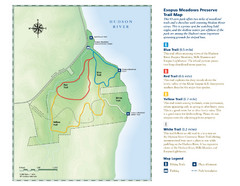
Esopus Meadows Preserve Trail Map
Trail map of Esopus Meadows Preserve park on the Hudson River.
82 miles away
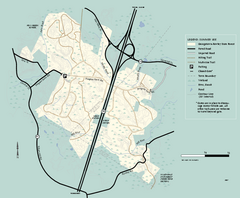
Georgetown-Rowley State Forest summer use map
Summer use map for Georgetown-Rowley State Forest.
82 miles away
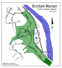
Birchbank Park Map
Several miles of moderately difficult trails along the Housatonic River bluff, including the...
82 miles away
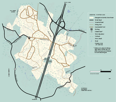
Georgetown-Rowley State Forest winter use map
Winter use map for the Georgetown-Rowley State Forest in Massachusetts.
82 miles away
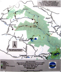
Northern Catskill Trail Map
Trail map shows hiking trails in the northern Catskills of New York. Shows trails in Windham High...
82 miles away
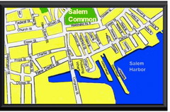
Salem, Massachusetts Guide Map
83 miles away
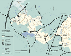
Willowdale State Forest map of Hood Pond
Trail map of the Hood Pond area of the Willowdale State Park in Massachusetts.
83 miles away
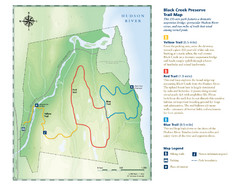
Black Creek Trail Preserve Map
Trail map of Black Creek Preserve on the Hudson River in New York. Shows Yellow Trail, Red Trail...
83 miles away
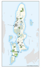
Conanicut Island Land Trust Map
Shows 430 acres of property on Conanicut Island, RI stewarded by the Conanicut Island Land Trust
83 miles away
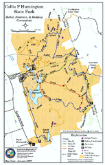
Collis P. Huntington State Park map
Trail map of Collis P. Huntington State Park in Connecticut
83 miles away
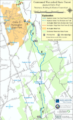
Centennial Watershed State Forest trail map
Trail map of Centennial Watershed State Forest in Connecticut
83 miles away
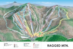
Ragged Mountain Ski trail Map
Official ski trail map of Ragged Mountain ski area from the 2007-2008 season.
84 miles away
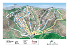
Ragged Mountain Ski Trail Map
Trail map from Ragged Mountain.
84 miles away
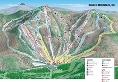
Ragged Mountain Ski Trail Map
Trail map from Ragged Mountain.
84 miles away
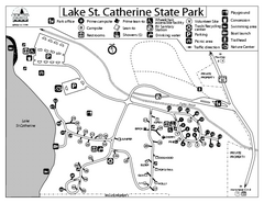
Lake St. Catherine State Park Campground Map
Campground map of St. Catherine State Park in Vermont
84 miles away
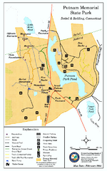
Putnam Memorial State Park map
Trail map for Putnal Memorial State Park in Connecticut,
84 miles away
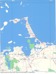
Hull Town Map
84 miles away
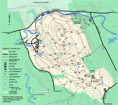
Bradley Palmer State Park winter map
Winter trail map of Bradley Palmer State Park.
85 miles away
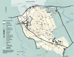
Bradley Palmer State Park summer map
Summer use map of Bradley Palmer State Park in Massachusetts
85 miles away
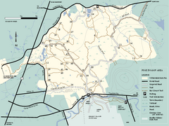
Willowdale State Forest map of Pine Swamp
Trail map of the Pine Swamp area of Willowdale State Park in Massachusetts.
85 miles away
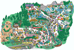
Six Flags Great Escape Theme Park Map
Official Park map of Six Flags Great Escape Theme Park in Lake George, NY.
86 miles away
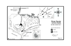
Silver Sands State Park map
Trail and campground map of Silver Sands State Park in Connecticut.
86 miles away
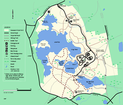
Massasoit State Park trail map
Trail map of Massasoit State Park in Massachusetts
86 miles away
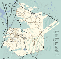
Freetown-Fall River State Forest trail map
Trail map of Freetown-Fall River State Forest in Massachusetts
86 miles away
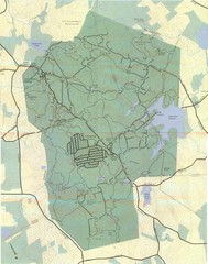
Wompatuck Park Trail Map
Map of Wompatuck Park including trails and roads and park features
86 miles away
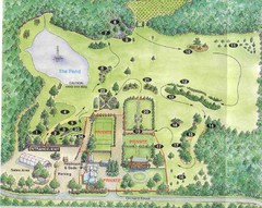
Newbury Perrenial Gardens Guide Map
86 miles away
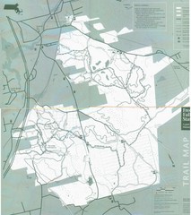
Freetown State Forest Map
Freetown State Forest Map showing mountain biking trails
86 miles away
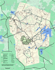
Wompatuck State Park trail map
Trail map of Wompatick State Park in Massachusetts.
86 miles away
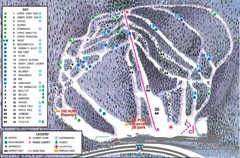
Whaleback Ski Trail Map
A Trail Map of Whaleback Ski Area
86 miles away
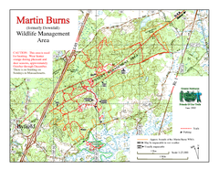
Downfall/Martin Burns WMA Map
87 miles away
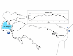
Mt. Tom road to the Pogue race course map
View Course Map and Elevations for the Mt. Tom road to the Pogue 6.1 mile run in Woodstock, VT.
87 miles away
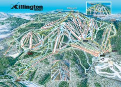
Killington Ski Trail Map
Official ski trail map of Killington ski area.
87 miles away
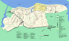
Maudslay State Park trail map
Trail Map of Maudslay State Park in Massachusetts.
87 miles away
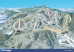
Killington Ski Trail Map 2008
Ski trail map of Killington ski area as of 2008
87 miles away
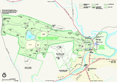
Marsh-Billings-Rockefeller National Historical...
Official NPS map of Marsh-Billings-Rockefeller National Historical Park in Vermont. Shows all areas...
87 miles away
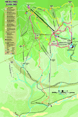
Killington Hiking Trail Map
Hiking trail map of Killington Ski Area summer trails. Shows life zones and geologic features.
87 miles away
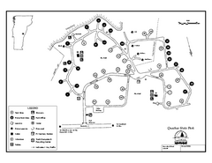
Quechee State Park map
Campground map for Quechee Gorge State Park in Vermont
88 miles away
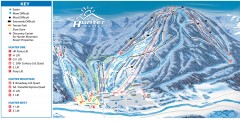
Hunter Mountain ski trail map
Official ski trail map of Hunter Mountain ski area from the 2006-2007 season.
88 miles away

