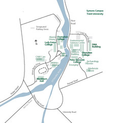
Trent University Campus Map
Campus map of the Symons Campus at Trent University in
107 miles away

Cook Forest State Park map
Detailed trail map of Cook Forest State Park in Pennsylvania
107 miles away

Allegheny College Map
Campus Map
107 miles away

Clear Creek State Park map
Detailed map of Clear Creek State Park in Pennsylvania
108 miles away
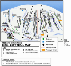
Ski Mansfield Ski Trail Map
Trail map from Ski Mansfield, which provides downhill skiing. This ski area has its own website.
109 miles away
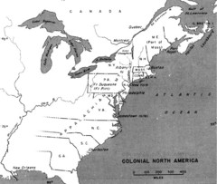
Colonial North America - 1689-1783 Historical Map
109 miles away

Leonard Harrison State Park Map
Detailed map for Leonard Harrison State Park in Pennsylvania.
110 miles away

Batawa Ski Trail Map
Trail map from Batawa, which provides downhill skiing. This ski area has its own website.
110 miles away

Ole Bull State Park Map
Detailed recreation map of Ole Bull State Park in Pennsylvania
110 miles away
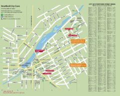
Stratford Tourist Map
Tourist map of center of Stratford, Ontario. Has street index and shows points of interest. Note...
112 miles away
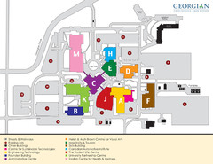
Georgian College Map
113 miles away

Hills Creek State Park map
Detailed map of Hills Creek State Park in Pennsylvania
113 miles away

Kettle Creek State Park Map
Detailed map of Kettle Creek State Park in Pennsylvania.
115 miles away
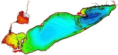
Lake Erie Depths Map
115 miles away
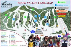
Ski Snow Valley Barrie Ski Trail Map
Trail map from Ski Snow Valley Barrie, which provides downhill skiing. This ski area has its own...
116 miles away

Parker Dam State Park Map
Detailed recreation map of Parker Dam State Park in Pennsylvania
118 miles away
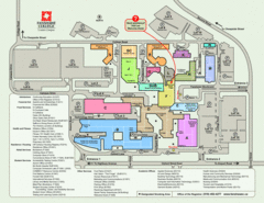
Fanshawe College Map
Campus map of London Campus
118 miles away
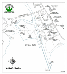
Emerson Park Map
118 miles away
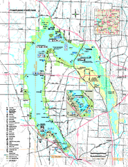
Pymatuning State Park Map
Recreation map for Pymatuning State Park in Pennsylvania
119 miles away
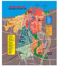
Ashtabula Tourist Map
Tourist map of Ashtabula, Ohio, situated on Lake Erie. Shows wards, notable sites, boating info...
120 miles away
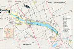
Maurice K. Goddard State Park map
Recreation map for Maurice Goddard State Park in Pennsylvania
120 miles away
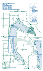
Pymatuning State Park Map
Detailed recreation map for Pymatuning State Park in Ohio
121 miles away
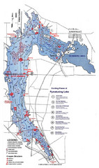
Pymatuning Lake State Park Fishing Map
Pymatuning Lake State Park fishing map
121 miles away
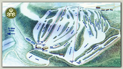
Devils Glen Ski Trail Map
Trail map from Devils Glen, which provides downhill skiing. This ski area has its own website.
122 miles away
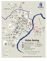
University of Western Ontario Map
Campus map
122 miles away
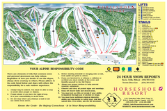
Horseshoe Resort Ski Trail Map
Trail map from Horseshoe Resort, which provides downhill and nordic skiing. This ski area has its...
122 miles away
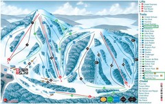
Heights of Horseshoe Ski Trail Map
Trail map from Heights of Horseshoe, which provides downhill skiing. This ski area has its own...
122 miles away
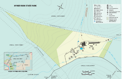
Hyner Run State Park map
Detailed recreation map for Hyner Run State Park in Pennsylvania
122 miles away

S. B. Elliott State Park map
Detailed recreation map for S. B. Elliott State Park in Pennsylvania.
124 miles away
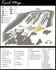
Ski Sawmill Ski Trail Map
Trail map from Ski Sawmill.
125 miles away

London Ski Club at Boler Mountain and Brochure...
Trail map from London Ski Club at Boler Mountain, which provides downhill skiing. This ski area has...
125 miles away
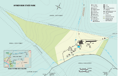
Hyner View State Park map
Detailed map of Hyner View State Park in Pennsylvania
125 miles away

Cornell University Map
125 miles away

Marcellus Snowmobile Trail Map
Map of snowmobile trails throughout Marcellus area
126 miles away
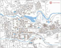
Cornell Campus Map
Map of Cornell University's Ithaca campus
126 miles away
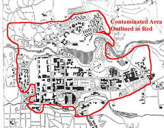
Map of Water contamination at Cornell University...
126 miles away
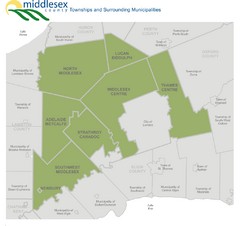
Middlesex County Map
Guide to Middlesex County and surrounds
126 miles away
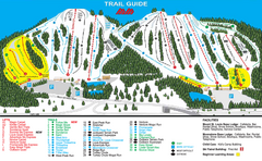
Mount St. Louis/ Moonstone Ski Trail Map
Trail map from Mount St. Louis/ Moonstone, which provides downhill skiing. This ski area has its...
127 miles away
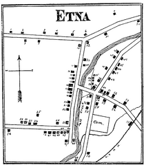
Etna 1897 City Map
Key to the Map of Etna (1897) 1. Mrs. C. Turner. 38. Blacksmith Shop. 2. J. T. Primrose. 39. Houtz...
130 miles away
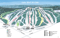
Osler Bluff Ski Club Ski Trail Map
Trail map from Osler Bluff Ski Club, which provides downhill skiing. This ski area has its own...
130 miles away

