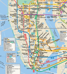
New York City Subway Map
91 miles away
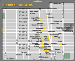
Broadway Theatre New York City Map
91 miles away
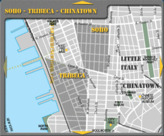
Chinatown New York City Tourist Map
91 miles away
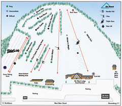
Ski Ward Ski Trail Map
Trail map from Ski Ward.
91 miles away
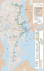
Hudson-Bergen Lightrail Map
Alternative transportation within the city.
91 miles away
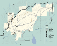
Windsor State Forest trail map
Trail map of Windsor State Forest in Massachusetts.
91 miles away
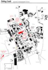
University of Massachusetts Amherst Parking Map
Map of the University of Massachusetts. Includes all buildings, streets, and parking information.
91 miles away
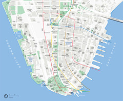
Lower Manhattan Map
91 miles away
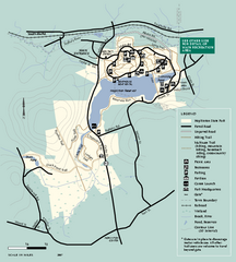
Hopkinton State Park trail map
Trail map of Hopkinton State Park in Massachusetts
91 miles away
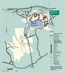
Hopkinton State Park trail map
Trail map of Hopkinton State Park in Massachusetts
91 miles away
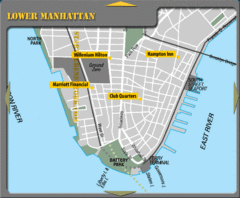
Lower Manhattan New York City Hotel Map
92 miles away
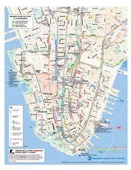
Lower Manhattan Public Transportation Map
Official MTA map of subway, bus, and ferry routes in Lower Manhattan.
92 miles away

Battery Park City Map
92 miles away
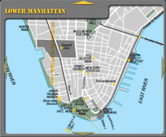
Lowe Manhattan New York City Tourist Map
92 miles away
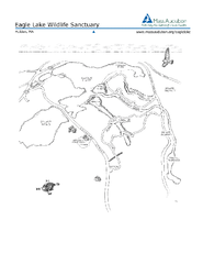
Eagle Lake Conservation Area Map
92 miles away
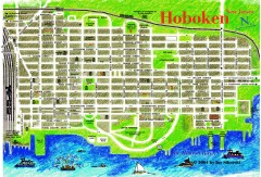
Hoboken Walking Tour map
Walking tour map of Hoboken, NJ. Shows points of interest.
92 miles away
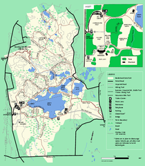
Borderland State Park trail map
Trail map of Borderland State Park in Massachusetts
92 miles away
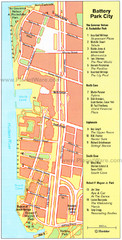
Battery Park City Map
City map of Battery Park City, an area of Manhattan, with art highlighted
92 miles away

NYC Biking Route Map (Part of Queens, Brookyln...
Official biking route map of part of Queens, Brookyln and Staten Island
92 miles away
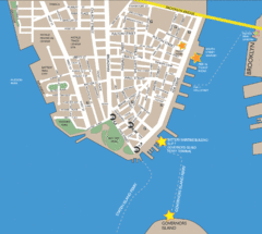
Lower Manhattan Area Map
92 miles away
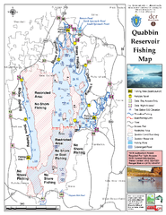
Quabbin Reservoir Fishing Map
Fishing access map of Quabbin Reservoir. Shows all ponds and submerged ponds.
92 miles away
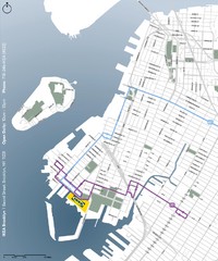
IKEA Brooklyn Map
Location map and map of bus routes and access streets to IKEA in Brooklyn, NY.
92 miles away
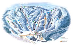
Butternut Ski Area Ski Trail Map
Trail map from Butternut Ski Area.
92 miles away
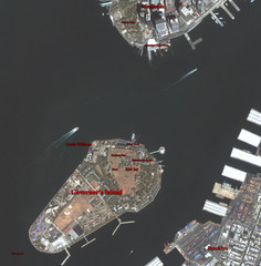
Governor's Island Map
Aerial photo view map of Governor's Island, New York
92 miles away
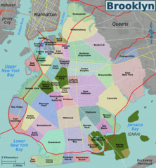
Brooklyn, Neighborhoods Map
92 miles away
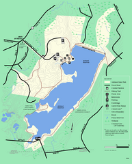
Ashland State Park Map
Clear map and legend marking trails, parking, facilities and more.
92 miles away
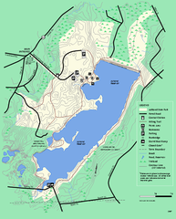
Ashland State Park Map
Map of Ashland State Park in Massachusetts.
92 miles away
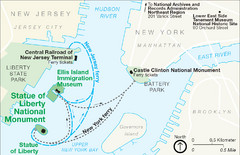
Statue of Liberty National Monument Map
Official NPS map of Statue of Liberty National Monument. Shows Statue of Liberty, Ellis Island, and...
93 miles away
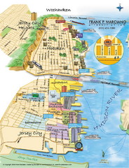
Jersey City, New Jersey City Map
Sketch of Jersey City and Hoboken, New Jersey
93 miles away
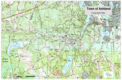
Ashland, MA - Topo Map
Map is provided by the town of Ashland, MA. See town's website for additional maps and...
93 miles away
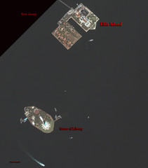
Ellis Island and Statue of Liberty Map
Aerial map of Ellis Island and the Statue of Liberty
93 miles away
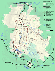
Beartown State Park Summer Map
Summer Map of Beartown State Park in Massachusetts.
93 miles away
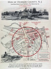
Antique map of Jersey City from 1925
Antique map of Jersey City, New Jersey from 1925.
94 miles away
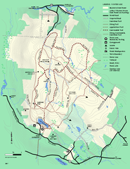
Beartown State Park Winter Map
Winter use map of Beartown State Park in Massachusetts
94 miles away
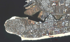
Coney Island Map
Aerial photo Coney Island map
94 miles away
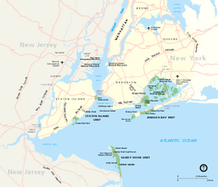
Gateway National Recreation Area Map
Park map of lands in the NPS Gateway National Recreation Area in New York and New Jersey. Shows...
94 miles away
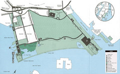
Liberty State Park Map
Map of Liberty State Park, New Jersey on the New York Harbor and next to Ellis Island. Shows...
94 miles away
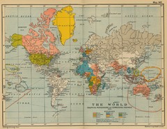
Colonial Posessions and Commercial Highways 1910...
Historical world map (1910) of various colonization and highway expansion
94 miles away
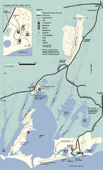
Waquoit Bay National Estuarine Research Preserve...
Trail map of Waquoit Bay National Estuarine Research Preserve in Massachusetts.
94 miles away

