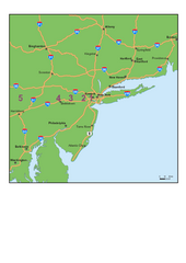
Upper West Side NYC Map 1879
Likely the first printed map of Manhattan's Upper West Side. Map is titled 'The West End...
88 miles away

Midtown East Side New York City Hotel Map
89 miles away
Riverside Park Map
Map of Riverside Park, New York. Illustrates all recreational activities, trails, bus stops and...
89 miles away

Upper West Side Map
printable map of Upper West Side, with major landmarks noted
89 miles away

Central Park, New York City Bike Map
89 miles away
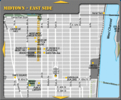
Midtown East Side New York City Map
89 miles away
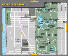
Upper West Side New York Tourist Map
89 miles away
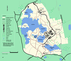
Massasoit State Park trail map
Trail map of Massasoit State Park in Massachusetts
89 miles away
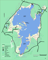
Whitehall State Park trail map
Trail map of Whitehall State Park in Massachusetts.
89 miles away
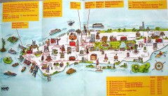
Manhattan Citysites Tour map
Map of the Citysites bus tour routes in Manhattan, New York.
89 miles away
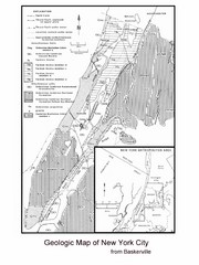
New York City Geological Map
Bedrock map of New York City
89 miles away
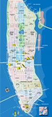
Manhattan Tourist Map
Tourist map of Manhattan, showing Museums, buildings of interest, and various neighborhoods.
89 miles away
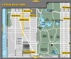
Upper West Side New York Hotel Map
89 miles away
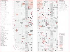
Midtown Manhattan, New York Map
Tourist map of midtown Manhattan in New York City, New York. Shows accommodations, restaurants, and...
89 miles away
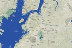
Brooklyn Map
89 miles away
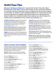
Floor Map of the Museum of Modern Art, New York
Official Floor Map of the MOMA in New York, NY. All floors and exhibits shown.
89 miles away
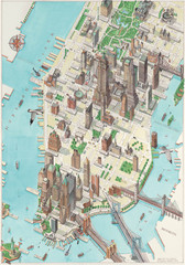
Manhattan New York Map
Aerial map of New York illustrated by UK illustrator Katherine Baxter.
89 miles away
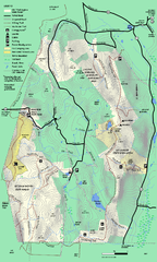
Mt. Washington State Forest trail map
Trail map of Mt. Washington State Forest
89 miles away

Manhattan Neighborhood map
Excellent New York City neighborhood map created by graphic designer Alexander Cheek
89 miles away
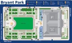
Map of Bryant Park
Map of Bryant Park in New York City
89 miles away
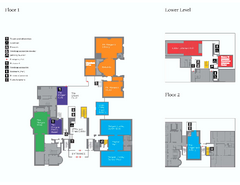
The Morgan Library Floor Plan, New York Map
The Morgan Library Floor Plan. Shows all floors and exhibits. Located at Madison Avenue and 36th...
89 miles away
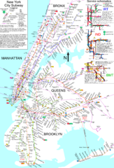
NYC Subway Map (unofficial)
Unofficial subway map of New York City. Created by SPUI.
89 miles away
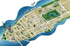
Manhattan Tourist Map
Simplified tourist map of Manhattan. Shows major NYC landmarks.
89 miles away
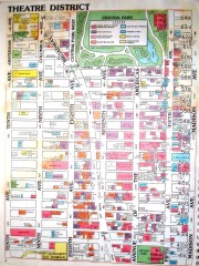
Times Square Map
Map of the Times Square area of New York City. Shows all areas.
89 miles away
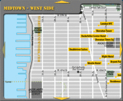
Midtown West Side New York City Hotel Map
89 miles away
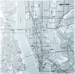
New York City Tourist Map
89 miles away

New York City Map
89 miles away
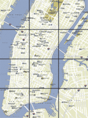
New York City, New York City Map
89 miles away
New York City Subway History Map
89 miles away
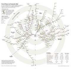
Travel Times on Commuter Trains in New York City...
Travel Times on Commuter Trains in the Greater New York Area
89 miles away
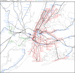
New York Railways Scale Map
89 miles away
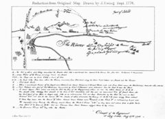
The Campaign of 1776 around New York and Brooklyn...
Handrawn map of enemy placement during a battle in 1776
89 miles away
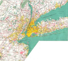
New York City Map
89 miles away
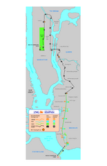
New York Marathon Course Map 2008
Official 2008 course map of the New York Marathon.
89 miles away
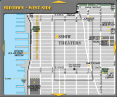
Midtown West Side New York City Map
89 miles away
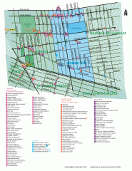
Clinton Hill Neighborhood map
Business and transportation map of the Clinton Hill neighborhood in Brooklyn, New York.
90 miles away
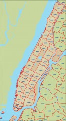
New York City zipcode map
Map of zipcodes in Manhattan and the outer boroughs of New York City.
90 miles away
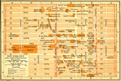
Antique map of Manhattan from 1916
"Thirty Fourth Street Section" from Rider's New York City, Henry Holt and Company...
90 miles away
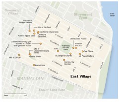
East Village walking tour map
Walking tour of the East Village in New York City, showing points of interest.
90 miles away

