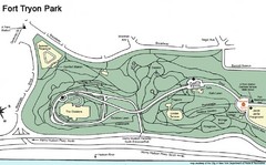
Fort Tyron Park Map
85 miles away
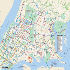
Bronx, New York Bus Map
Official MTA Bus Map of all of the Bronx, New York. Shows all routes.
85 miles away
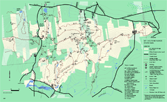
Mount Holyoke Range State Park Map
Trail map of Holyoke Range State Park.
85 miles away
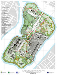
Randall's Island Park Map
Master plan for Randall's Island Park
85 miles away

Manhattan Waterfront Greenway Bike Map
Bike map of the Manhattan Waterfront Greenway. Shows walking and biking paths, ferry landings and...
86 miles away
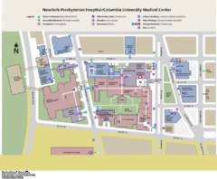
Columbia University Medical Center Map
86 miles away
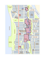
Hamilton Heights West Harlem Map
Hamilton Heights - West Harlem, New York City community map
86 miles away
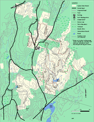
Upton State Forest trail map
Trail map for Upton State Forest in Massachusetts.
87 miles away
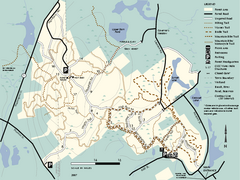
F. Gilbert Hills State Forest trail map
F. Gilbert Hills State Forest trail map in Massachusetts.
87 miles away

Broadway Elevation Map
Illustrative section of Broadway, from 125th Street to 134th Street, looking east
87 miles away
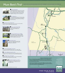
Mum Bett's Trail Map
Historic African American trail guide
87 miles away
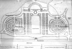
Central Park Conservatory Garden Map
Map of the Conservatory Garden in Central Park, New York City. Photo of outdoor map.
87 miles away
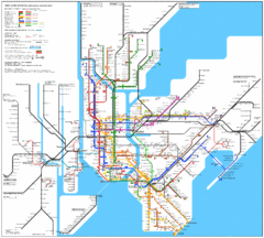
New York Subway Map
The subway and nearby railways in New York City
87 miles away

Manhattan Bus Map
87 miles away
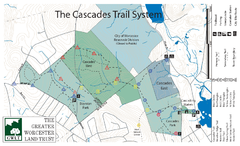
Cascades Park Map
87 miles away
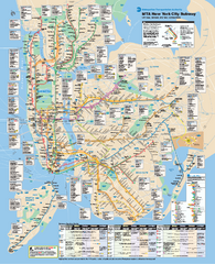
New York City MTA Subway Map
Official subway map for New York City
87 miles away
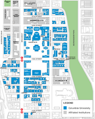
Columbia University Map
Campus map of Columbia University. All buildings shown.
87 miles away
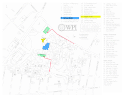
Worcester Polytechnic Institute Campus Map
Map of Worcester Polytechnic Institute. Includes all buildings, parking, streets, and location of...
87 miles away
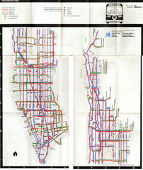
1974 Manhattan Bus Map
88 miles away
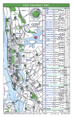
Green Markets in NYC Map
A map of all the green markets in the 5 boroughs of New York City.
88 miles away
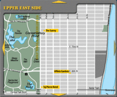
Upper East Side New York Hotel Map
88 miles away
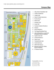
Rockefeller University Campus Map
Campus map of Rockefeller University in New York City.
88 miles away
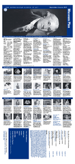
The Metropolitan Museum of Art Floor Plan Map
Official Floor Plan for the Metropoltan Museum of Art in New York City. All areas and exhibits...
88 miles away
Upper Riverside Park Map
Riverside Park Map, Visitor Information as well as streets, bus routes, places to jog and bike.
88 miles away
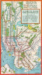
New York Subway Map, 1930
A New York City subway map from the 1930s
88 miles away
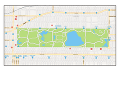
Central Park, New York Map
Central Park, New York map. A very detailed map with all roads, metro station and importand...
88 miles away
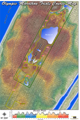
Olympic Trials Course Map
Elevation of the 2008 olympic trials marathon course in New York's Central Park.
88 miles away
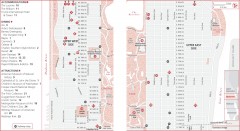
Uptown Manhattan, New York Map
Tourist map of uptown Manhattan in New York City, New York. Attractions, accommodations, and...
88 miles away
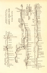
1904 New York City Subway Map
The New York City Subway Map in 1904
88 miles away
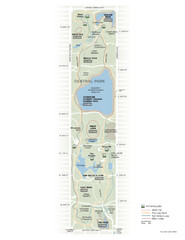
Central Park Fitness Map
Guide to fitness and training in Central Park, New York
88 miles away

Topographical Atlas of the City of New York Map
Topographical Atlas of the City of New York including the annexed territory, showing original water...
88 miles away
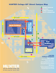
Hunter College Campus Map
Hunter College Campus Map. Located in New York City. Shows all areas.
88 miles away
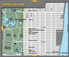
Maison Ave New York City Shopping Map
88 miles away
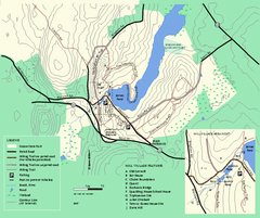
Moore State Park trail map
Trail map of Moore State Park in Massachusetts.
88 miles away
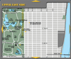
Upper East Side New York Tourist Map
88 miles away
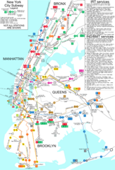
New York City Subway Map
Map of NYC subway transit system and stops
88 miles away

Floor Plan of the Museum of Natural History, New...
Official Floor Plan of the Museum of Natural History in New York. All areas and exhibits shown.
88 miles away
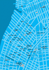
Williamsburg Art Gallery map
Map of Williamsburg and Greenpoint art galleries in Brooklyn, New York. Shows subway stops as well.
88 miles away

