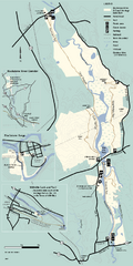
Blackstone Trail Map
Map of Blackstone River State Park in Massachusetts.
77 miles away
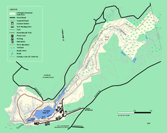
Chicopee State Park trail map
Chicopee State Park trail map
77 miles away
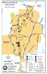
Macedonia Brook State Park trail map
Trail map of Macedonia Brook State Park in Connecticut.
77 miles away
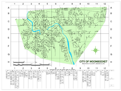
Woonsocket Street Map
Street map of Woonsocket, Rhode Island. Shows street legend.
77 miles away
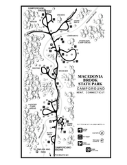
Macedonia Brook State Park campground map
Campground map for Macedonia Brook State Park in Connecticut.
77 miles away
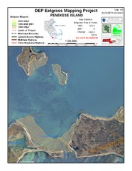
Penekese Island Eelgrass Map
78 miles away

City Island Street Map
Street map of City Island, New York
78 miles away
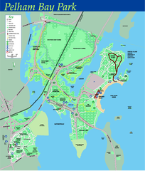
Pelham Bay Park NYC Map
Official detailed map of Pelham bay park, the largest park in New York City at 2,700 acres. Map...
78 miles away
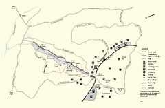
Purgatory Chasm State Reservation trail map
Trail map of Purgatory Chasm State Reservation in Massachusetts.
80 miles away
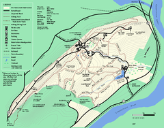
Mt. Tom State Reservation trail map
Trail map of Mt. Tom State Reservation
80 miles away
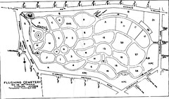
Flushing Cemetery Map
Map of the sections of Flushing Cemetery in Queens
80 miles away
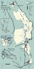
Heritage State Park Map
Clear state park map marking trails and facilities.
81 miles away
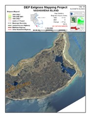
Nashawena Island Eelgrass Map
81 miles away
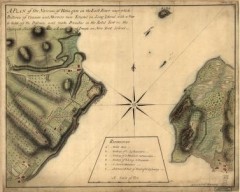
Oyster Bay and Huntington, Huntington Bay Map
A plan of the Narrows of Hells-gate in the East River, near which batteries of cannon and mortars...
81 miles away
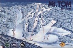
Mount Tom Ski Trail Map
Trail map from Mount Tom, which provides downhill skiing. This ski area opened in 1962.
81 miles away
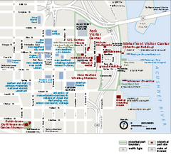
New Bedford Whaling National Historical Park...
Official NPS map of New Bedford Whaling National Historical Park in Massachusetts. Map shows all...
81 miles away

Queens College Campus Map
3D map of Queens College campus. All buildings shown.
81 miles away
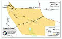
Cambell Falls State Park map
Trail map of Campbell Falls State Park Reserve in Connecticut
82 miles away

Queens Botanical Garden Map
Shows facilities and names of different gardens. In many languages.
82 miles away
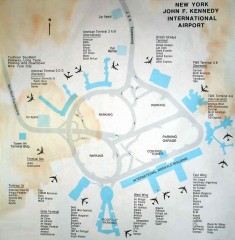
John F. Kennedy International Airport Map
Terminal and Road map of John F. Kennedy International Airport.
82 miles away
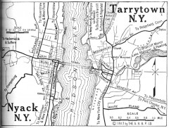
Antique map of Nyack and Tarrytown from 1917
Map of Nyack and Tarrytown, NY from Automobile Blue Book, 1917, Vol. 3
82 miles away
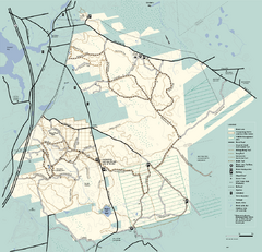
Freetown-Fall River State Forest trail map
Trail map of Freetown-Fall River State Forest in Massachusetts
82 miles away
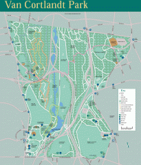
Van Cortlandt Park Trail Map
Trail map of Van Cortlandt Park in the Bronx. Covers 573 acres.
82 miles away
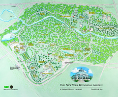
The New York Botanical Garden Map
Official Map of The New York Botanical Garden in New York. Shows all areas and different gardens.
82 miles away
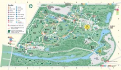
Bronx Zoo Map
Bronx Zoo. The Zoo is open 365 days a year. "Now through November 4, 2007, our hours are 10...
82 miles away
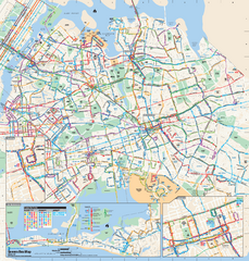
Queens, New York Bus Map
Official MTA Bus Map of Queens, NY. Shows all routes.
83 miles away
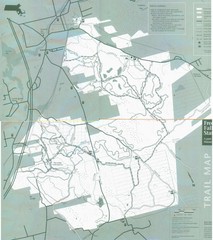
Freetown State Forest Map
Freetown State Forest Map showing mountain biking trails
83 miles away
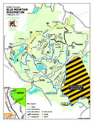
Blue Mountain Reservation Mountain Bike Trail Map
Mountain biking map of the Blue Mountain Reservation from the Westchester Mountain Biking...
83 miles away
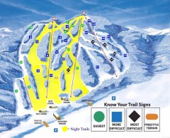
Blandford Ski Trail Map
Official ski trail map of Blandford ski area
83 miles away
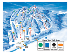
Blandford Ski Area Ski Trail Map
Trail map from Blandford Ski Area.
83 miles away
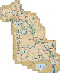
Blackstone Valley tourist map
Tourist map of the Blackston Valley in Rhode Island and Massachusetts. Shows hiking, biking, and...
84 miles away
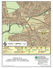
Forest Park Preserve Map
Map of Forest Park Preserve, Queens County, City of New York. 538 acres of trees and fields
84 miles away
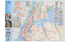
NYC Biking Route Map (Manhattan & Queens)
Official NYC biking map of Manhattan and Queens.
84 miles away
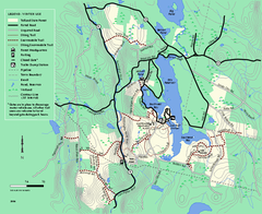
Tolland State Forest winter trail map
Winter usage trail map of the Tolland State Forest area in Massachusetts.
85 miles away
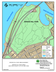
Inwood Hill Park Trail Map
Trail map of Inwood Hill Park located at the extreme northern tip of Manhattan. 136 acres.
85 miles away
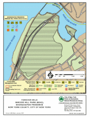
Inwood Hill Park Map
Park map of Inwood Hill Park in the Shorakapok Preserve, New York. 136 acres.
85 miles away
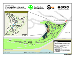
Highbridge Park mountain bike trail map
Mountain biking trail network opened in May 2007. Only mountain biking trails in Manhattan. 25...
85 miles away
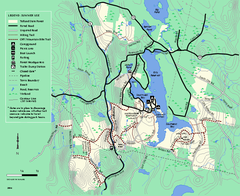
Tolland State Forest summer trail map
Summer use map for Tolland State Forest in Massachusetts.
85 miles away
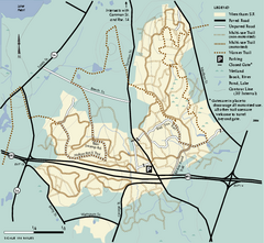
Wrentham State Forest trail map
Trail map of Wrentham State Forest in Massachusetts.
85 miles away
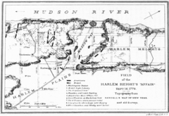
Harlem Hieghts Affair Map
Topography of the field during the battle on Sept 16 1776
85 miles away

