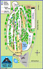
Yawgoo Valley Ski Area Ski Trail Map
Trail map from Yawgoo Valley Ski Area.
52 miles away
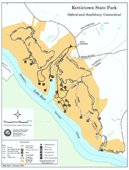
Kettletown State Park trail map
Trail map for Kettletown State Park in Connecticut.
52 miles away
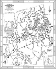
Middlebury, Connecticut Map
52 miles away
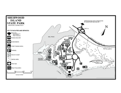
Sherwood Island State Park map
Trail and campground map of Sherwood Island State Park in Connecticut.
52 miles away
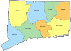
Connecticut Counties Map
54 miles away
Connecticut Zip Code Map
Check out this Zip code map and every other state and county zip code map zipcodeguy.com.
54 miles away
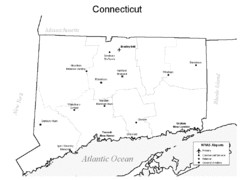
Conneticut Airports Map
54 miles away
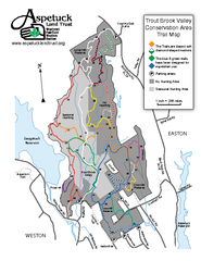
Trout Brook Valley Map
54 miles away
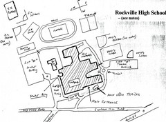
Rockville High School Map
Hand-drawn map of Rockville High School includes all buildings, Parking Lots, and sports fields.
55 miles away
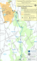
Centennial Watershed State Forest trail map
Trail map of Centennial Watershed State Forest in Connecticut
56 miles away
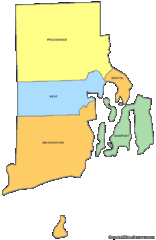
Rhode Island Counties Map
56 miles away
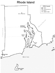
Rhode Island Airports Map
56 miles away
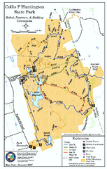
Collis P. Huntington State Park map
Trail map of Collis P. Huntington State Park in Connecticut
57 miles away
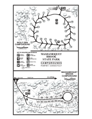
Mashamoquet Brook State Park campground map
Campground map of Mashamoquet Brook State Park in Connecticut.
57 miles away
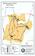
Mashamoquet Brook State Park trail map
Trail map of Mashamoquet Brook State Park in Connecticut.
57 miles away
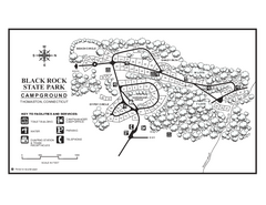
Black Rock Campground map
Map of the Campgrounds in Black Rock State Park.
57 miles away
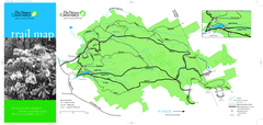
Devil's Den Preserve Map
57 miles away
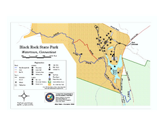
Black Rock State Park trail map
Trail map of Black Rock State Park in Connecticut.
57 miles away

Map of Fire Island National Seashore
Official Map of Fire Island National Seashore in New York. Shows all towns and information.
58 miles away
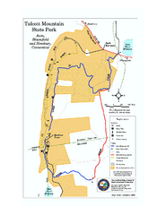
Talcott Mountain State Park map
Trail map of Talcott Mountain State Park in Connecticut.
58 miles away
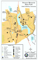
Putnam Memorial State Park map
Trail map for Putnal Memorial State Park in Connecticut,
58 miles away
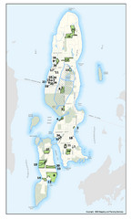
Conanicut Island Land Trust Map
Shows 430 acres of property on Conanicut Island, RI stewarded by the Conanicut Island Land Trust
58 miles away
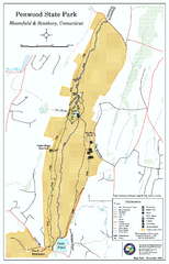
Penwood State Park map
Trail map of Penwood State Park in Connecticut.
59 miles away
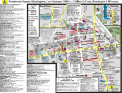
Huntington, New York Restaurant Map
59 miles away
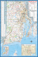
Rhode Island Road Map
Official Rhode Island state highway map. Insets show Newport and Providence.
60 miles away
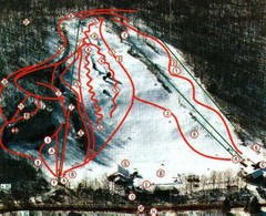
Woodbury Ski Area Ski Trail Map
Trail map from Woodbury Ski Area, which provides downhill, night, nordic, and terrain park skiing...
60 miles away
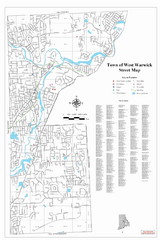
West Warwick Town Map
Street map of W. Warwick
60 miles away
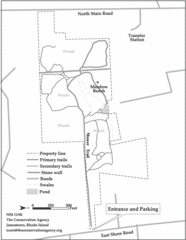
Parker Farm Trail Map
60 miles away
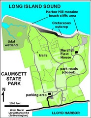
Caumsett State Park Map
Park map of Caumsett State Park on Long Island Sound, New York
60 miles away
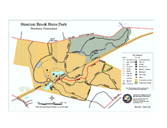
Stratton Brook State Park map
Trail map of Stratton Brook State Park in Connecticut.
61 miles away
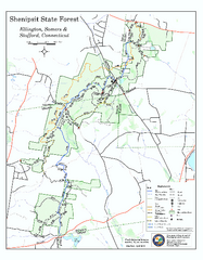
Trail map of Shenipsit State Forest
Trail map of Shenipsit State Forest in Connecticut.
61 miles away

Topsmead State Forest map
Trail map for Topsmead State Forest in Connecticut.
63 miles away
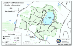
Great Pond State Park trail map
Trail map of Great Pond State Forest in Connecticut.
63 miles away
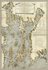
Narrangansett Bay Map 1777
"A Topographical CHART of the BAY of NARRAGANSET in the Province of NEW ENGLAND. with the...
63 miles away
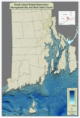
Rhode Island Shaded Bathymetry Map
Bathymetric map of Rhode Island with Narrangansett Bay and Rhode Island Sound. Graduated...
63 miles away
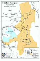
Seth Low Pierrepont State Park Reserve map
Trail map of Seth Low Pierreport State Park in Connecticut.
63 miles away
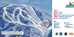
Ski Sundown Ski Trail Map
Trail map from Ski Sundown, which provides downhill and night skiing. It has 5 lifts servicing 15...
65 miles away
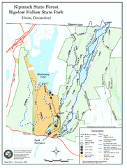
Nipmuck State Forest trail map
Trail map of Nipmuck State Forest and Bigelow Hollow State Park in Connecticut.
65 miles away
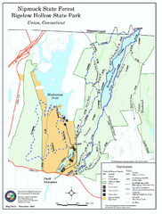
Bigelow Hollow State Park trail map
Trail map of Bigelow Hollow State Park in Connecticut.
65 miles away

