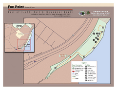
Fox Point State Park Map
Clear and simple state park map.
186 miles away
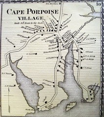
Cape Porpoise Village Map
186 miles away
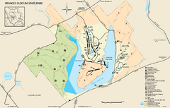
Frances Slocum State Park map
Detailed map of Frances Slocum State Park in Pennsylvania.
186 miles away
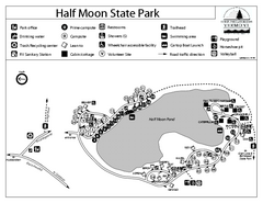
Half Moon State Park Campground Map
Campground map of Half Moon State Park in Vermont
187 miles away
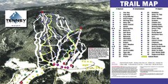
Tenney Mountain Ski Trail Map
Trail map from Tenney Mountain.
187 miles away
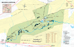
Nescopeck State Park map
Detailed recreation map of Nescopeck State Park in Pennsylvania.
187 miles away
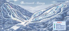
Dartmouth Skiway Trail Map
Official ski trail map of the Dartmouth Skiway. The Skiway is owned by Dartmouth College. Over...
188 miles away
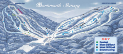
Dartmouth Skiway Ski Trail Map
Trail map from Dartmouth Skiway.
188 miles away
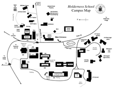
Holderness School Campus Map
A Campus Map of the Holderness School
189 miles away
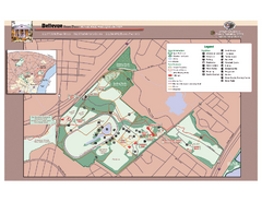
Bellevue State Park Map
Beautiful park with easy to read details.
190 miles away
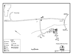
Thetford State Park Campground Map
Campground map for Thetford Hill State Park in Vermont
190 miles away
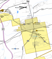
Hazelton Street Map
Clear and descriptive road map.
190 miles away
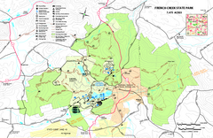
French Creek State Park map
Detailed recreation map for French Creek State Park in Pennsylvania
190 miles away
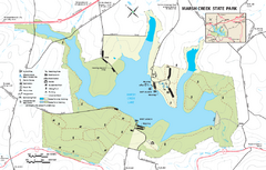
Marsh Creek State Park map
Detailed map of Marsh Creek State Park in Pennsylvania.
191 miles away
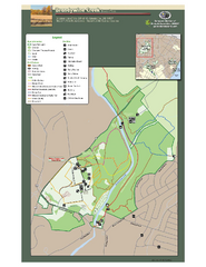
Brandywine Creek State Park Map
Easy to read map and legend of this beautiful state park.
192 miles away
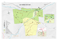
Salt Springs State Park map
Detailed recreation map of Salt Spring State Park in Pennsylvania.
193 miles away

Tuscarora State Park Map
Detailed recreation map for Tuscarora State Park in Pennsylvania
194 miles away
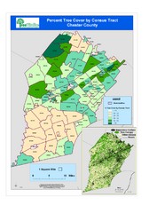
Chester County Tree Cover Map
Poster map of tree cover in Chester County, Pennsylvania
195 miles away
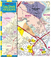
Reading, Pennsylvania City Map
196 miles away
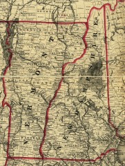
Map of New Hampshire and Vermont 1860
Map of New Hampshire and Vermont, 1860
196 miles away
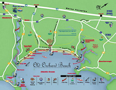
Old Orchard Beach Tourist Map
196 miles away
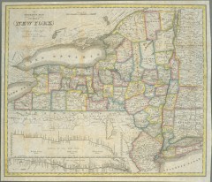
1831 Antique New York State map
The tourist's map of the state of New York : compiled from the latest authorities in the...
197 miles away
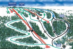
Eagle Rock Ski Trail Map
Official ski trail map of Eagle Rock Resort ski area from the 2007-2008 season.
198 miles away
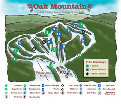
Oak Mountain Ski Center Ski Trail Map
Trail map from Oak Mountain Ski Center.
199 miles away
Fort Ticonderoga 1777 Map
199 miles away
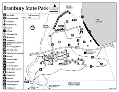
Branbury State Park map
Campground map of Branbury State Park in Vermont
199 miles away
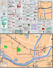
Binghampton Bus Route Map
199 miles away
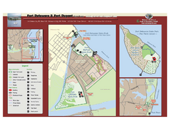
Fort Delaware State Park Map
Nice park on a beautiful island.
199 miles away
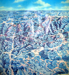
White Mountains New Hampshire Map
Old bird's eye view map of the White Mountain region of New Hampshire by Frank Thomas. Date of...
199 miles away

Locust Lake State Park map
Detailed map of Locust Lake State Park in Pennsylvania
200 miles away
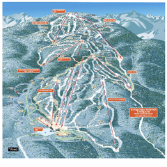
Gore Mountain Ski Trail Map
Trail map from Gore Mountain.
200 miles away
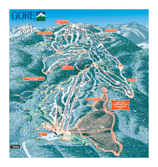
Gore Mountain Ski Trail Map
Trail map from Gore Mountain.
200 miles away
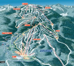
Gore Mountain Ski Trail Map
Official ski trail map of Gore Mountain ski area from the 2007-2008 season.
200 miles away
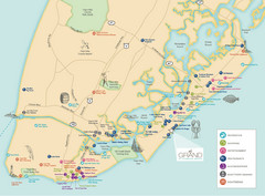
Diamond Beach Tourist Map
200 miles away
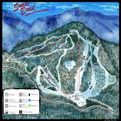
Middlebury Snow Bowl Ski Trail map
Official ski trail map of Middlebury College Snow Bowl ski area.
200 miles away
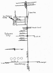
Delaware City Map
City map of Delaware City with Fort Delaware Society highlighted
201 miles away
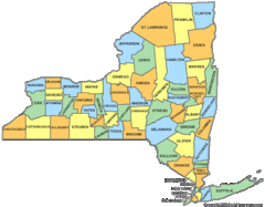
New York Counties Map
202 miles away
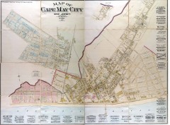
Antique map of Cape May from 1886
Antique map of Cape May, New Jersey from 1886.
202 miles away
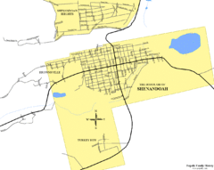
Shenandoah, Pennsylvania Map
203 miles away

