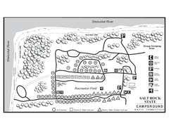
Salt Rock State Park campground map
Campground Map of Salt Rock State Campground in Connecticut.
39 miles away
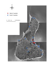
Native and Exotic Phragmites on Block Island Map
40 miles away
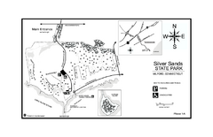
Silver Sands State Park map
Trail and campground map of Silver Sands State Park in Connecticut.
40 miles away
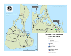
Block Island Road Map
Shows roads and major facilities on Block Island, RI (New Shoreham)
40 miles away
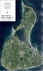
Block Island Aerial Map
Aerial map of Block Island, RI (New Shoreham, RI). True color orthophotography from August 2006.
40 miles away
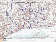
Connecticut Rivers and Coastal Paddling Map
This is a map of paddling areas for rivers and coastal kayaking. Follow the link below for...
41 miles away
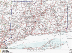
Connecticut Rock Climbing Locations Map
A map of most of the important rock climbing and bouldering areas in Connecticut. Click the link...
42 miles away
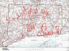
Connecticut Road Cycling Routes Map
A map of road cycling routes throughout Connecticut. Follow the link below for detailed route maps...
42 miles away
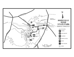
Hopeville Pond State Park trail map
Trail map for Hopevill Pond State Park in Connecticut
42 miles away
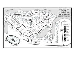
Hopeville Pond campground map
Campground map of Hopeville Pond State Park in Connecticut.
42 miles away
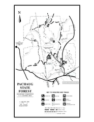
Pachaug State Forest map
Trail map of Pachaug State Forest in Connecticut.
43 miles away
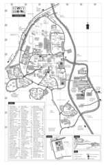
Stony Brook University Map
43 miles away
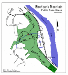
Birchbank Park Map
Several miles of moderately difficult trails along the Housatonic River bluff, including the...
43 miles away
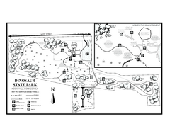
Dinosaur State Park map
Trail map of Dinosaur State Park in Connecticut.
44 miles away
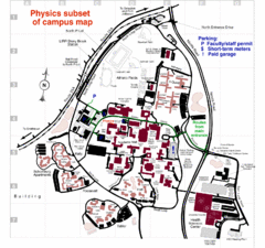
University of New York at Stony Brook Campus Map
44 miles away
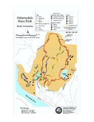
Osbornedale State Park map
Trail map of Osborndale State Park in Connecticut.
44 miles away
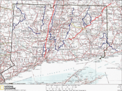
Connecticut Long Distance Trails Map
A map of long distance trails throughout Connecticut. Go to the website below for detailed trail...
45 miles away
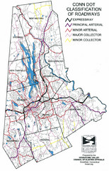
Connecticut Roadway Classification Map
45 miles away
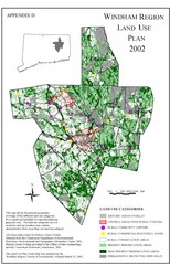
2002 Windham Region Land Use Map
Regional Land Use Guide Map for Planning Purposes
45 miles away
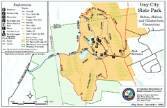
Gay City State Park trail map
Trail map of Gay City State Park in Connecticut.
45 miles away
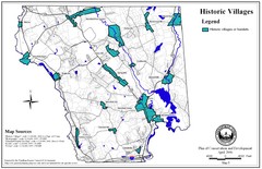
Historic Villages of Mansfield, Connecticut Map
Historical villages outlined on the map of the existing city.
46 miles away
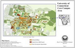
University of Connecticut Campus Map
Map shows current, funded projects and future development for UConn.
46 miles away
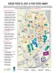
Arena at Harbor Yard Restaurants Map
List of many delicious restaurants and eateries.
46 miles away
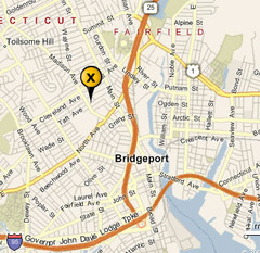
Bridgeport, Connecticut City Map
46 miles away
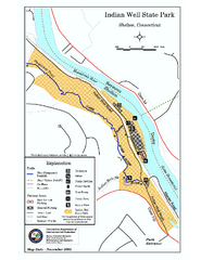
Indian Well State Park map
Trail map for Indian Well State Park in Connecticut.
46 miles away
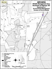
Arcadia Wildlife Management Area Map - Southeast
Reference map shows portion of Arcadia Wildlife Management Area, Rhode Island southeast of Highway...
47 miles away
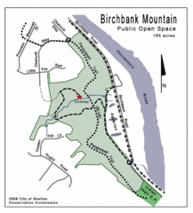
Birchbank Park Map
47 miles away
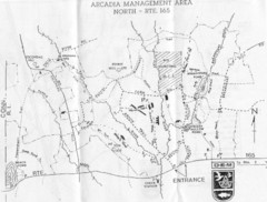
Arcadia Management Area State Map
Trail map for Arcadia Management Area in Rhode Island
47 miles away
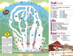
Mount Southington Ski Trail Map
Official ski trail map of Mount Southington ski area from the 2007-2008 season.
47 miles away
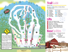
Mt. Southington Ski Area Ski Trail Map
Trail map from Mt. Southington Ski Area, which provides downhill, night, and terrain park skiing...
47 miles away
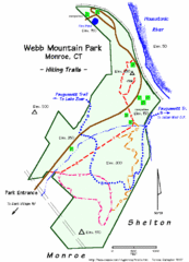
Webb Moutain Park Map
48 miles away
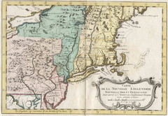
1773 New England Map
French map of New England
49 miles away
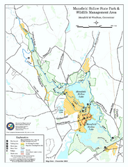
Mansfield Hollow State Park map
Map for Mansfield Hollow State Park and Wildlife Management Area in Connecticut.
49 miles away
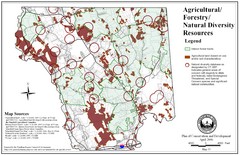
Mansfield Conservation and Development Map
Guide to Agricultural, Forestry and Natural Diversity Resources
50 miles away

Mansfield Cemetery Map
50 miles away
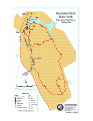
Southford Falls State Park map
Trail map for Southford Falls State Park in Connecticut.
51 miles away

Wadsworth Athenium Museum Location Map
Wadsworth Athenium visitor location map with locations of major buildings, streets, parks, and...
51 miles away
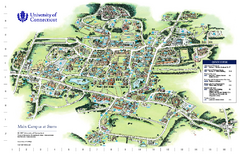
University of Connecticut - Storrs Campus Map
University of Connecticut - Storrs Campus Map. All areas shown.
51 miles away
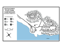
Kettletown State Park campground map
Campground map for Kettletown State Park in Connecticut.
52 miles away
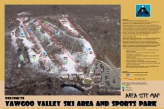
Yawgoo Valley Ski Trail map
Map of Yawgoo Valley Ski area in Exeter, Rhode Island. It is the only skiing resort in Rhode...
52 miles away

