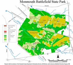
Monmouth Battlefield State Park Map
118 miles away
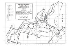
Hedden Park Map
Hedden County Park Trail Map
118 miles away
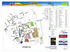
New Brunswick City Map
City map of New Brunswick, New Jersey with tourist information
119 miles away
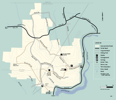
Monroe State Forest trail map
Trail map of Monroe State Forest in Massachusetts.
119 miles away
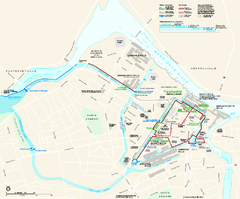
Lowell National Historical Park Official Map
Official NPS map of Lowell National Historical Park in Lowell, Massachusetts. Map shows all of...
120 miles away
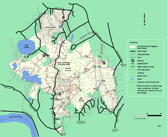
Lowell-Dracut-Tyngsboro State Forest trail map
Trail map for the Lowell-Dracut-Tyngsboro State Forest in Massachusetts
121 miles away
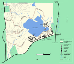
Clarksburg State Park trail map
Trail map of Clarksburg State Park in Massachusetts.
121 miles away
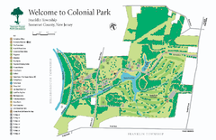
Colonial Park, Somerset, NJ Map
122 miles away
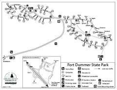
Fort Dummer State Park Campground Map
Campground map of Fort Dummer State Park in Vermont
123 miles away
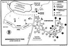
Monadnock State Park map
Campground map of Monadnock State Park in New Hampshire
123 miles away
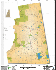
Temple NH Topo Map
Topographical map of Temple, NH area. Shows all roads and points of interest.
123 miles away
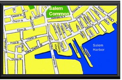
Salem, Massachusetts Guide Map
123 miles away
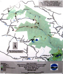
Northern Catskill Trail Map
Trail map shows hiking trails in the northern Catskills of New York. Shows trails in Windham High...
124 miles away
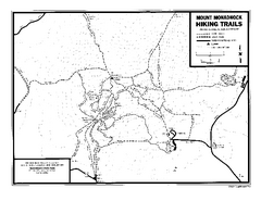
Mount Monadnock State Park Map
Official hiking map of the park. With its thousands of acres of protected highlands, 3,165-ft...
124 miles away
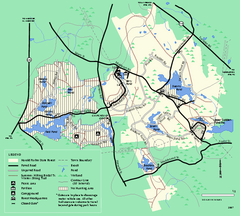
Harold Parker State Forest trail map
Trail map of Harold Parker State Forest in Massachusetts
125 miles away
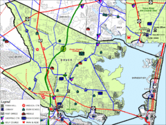
Tom's River, New Jersey City Map
125 miles away
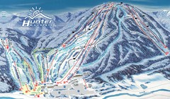
Hunter Mountain Trail Map
Ski trail map
125 miles away
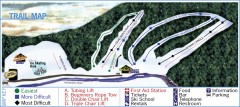
Holiday Mountain Ski Trail Map
Official ski trail map of Holiday Mountain ski area
125 miles away
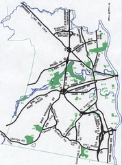
Nashua Parks Map
Map of Nashua, New Hampshire parks
125 miles away
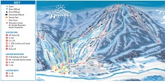
Hunter Mountain ski trail map
Official ski trail map of Hunter Mountain ski area from the 2006-2007 season.
125 miles away
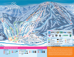
Hunter Mountain Ski Bowl Ski Trail Map
Trail map from Hunter Mountain Ski Bowl.
125 miles away
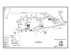
Molly Stark State Park Campground Map
Campground map for Molly State State Park in Vermont
125 miles away
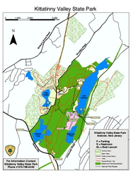
Kittatinny Valley State Park trail map
Trail map of Kittatinny Valley State Park in New Jersey. Shows hunting areas and trails.
126 miles away
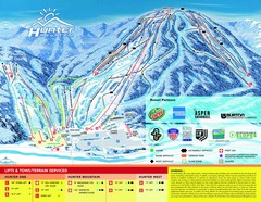
Hunter Mountain Trail Map
126 miles away
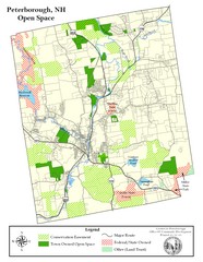
Peterborough Open Space Map
Map of open space lands in Peterborough, New Hampshire
126 miles away
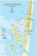
Island Beach State Park Canoe and Kayak map
Canoe and kayak guide to the Sedge islands in Island Beach State Park near Barnegat Bay, NJ. The...
127 miles away
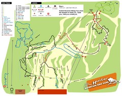
Hunter Mountain Bike Park Map
Map of bike trails in park
127 miles away
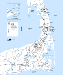
Cape Cod Rail Trail Map
Cape Cod Rail Trail map. The Cape Cod Rail Trail follows a former railroad right-of-way for 22...
127 miles away
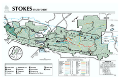
Stokes State Forest map
Trail map of Stokes State Park in New Jersey.
127 miles away
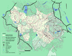
Boxford State Park trail map
Trail map of Boxford State Forest in Massachusetts
128 miles away

Six Flags Great Adventure Theme Park Map
Official park map of Six Flags Great Adventure, New Jersey.
128 miles away
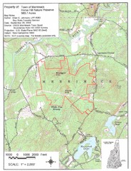
Merrimack Topo Map
A Topographical map Horse Hill Nature Preserve.
128 miles away
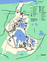
Nickerson State Park trail map
Trail map of Nickerson State Park in Massachusetts.
129 miles away
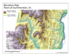
Elevation Map of Dummerston, Vermont
This Hypsometric map is a map that distinguishes elevations progression within a specific...
129 miles away
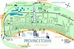
Provincetown, Massachusetts Map
Tourist map of Provincetown, Massachusetts. Shows beaches, visitor's center, bike trails, and...
130 miles away
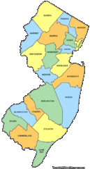
New Jersey Counties Map
130 miles away
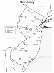
New Jersey Airports Map
130 miles away
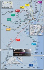
New Jersey Meadowlands Transportation Guide Map
130 miles away
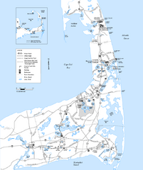
Cape Cod Rail Trail, Cape Cod, Massachusetts Map
Map of the Cape Cod Rail Trail bike path. Shows trails, restrooms, other roads and parking.
130 miles away
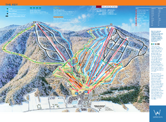
Windham Mountain Ski Trail Map
Trail map from Windham Mountain.
131 miles away

