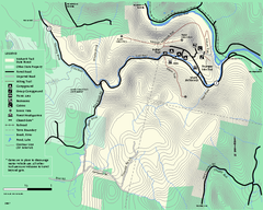
Mohawk Trail State Forest map
Map of the Mohawk Trail State Forest in Charlemont, Massachusetts.
111 miles away
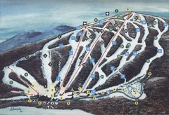
Brodie Ski Trail Map
Trail map from Brodie.
112 miles away
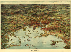
Walker's Map of Boston Harbor and Environs...
Walker's map of Boston Harbor and immediate environs from 1905.
112 miles away
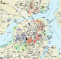
Boston National Historical Park Official Park Map
Official NPS map of Boston National Historical Park in Boston, Massachusetts. From park brochure...
112 miles away
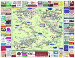
North County Berkshires map
Tourist map of North County - Pittsfield, N. Adams, Adams, Lanesboro, Cheshire, Williamstown...
112 miles away
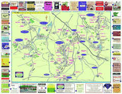
Columbia County - Austerlitz, Canaan, Chatham...
Tourist map of Columbia County including towns of Austerlitz, Canaan, Chatham, East Chatham Ghent...
112 miles away
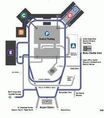
Boston/General Edward Lawrence Logan...
Terminal map of Boston/General Edward Lawrence Logan International Airport. Shows all areas.
112 miles away
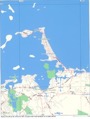
Hull Town Map
112 miles away
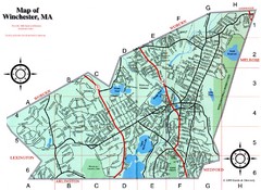
Winchester Town Map
112 miles away
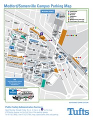
Medford Campus Map
Clear map indicating buildings and parking areas.
112 miles away

Hidden Valley Ski Trail Map
Trail map from Hidden Valley.
112 miles away
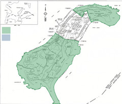
Thompson Island Easement Map
Map of Thompson Island easement. Includes roads, buildings, trails and attractions as well as the...
113 miles away
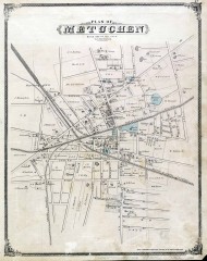
Antique map of Metuchen from 1876
Historic map of Metuchen, New Jersey from 1876
113 miles away
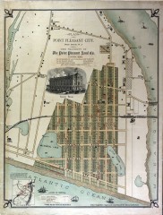
Antique map of Point Pleasant from 1880
Antique map of Point Pleasant, New Jersey from c. 1880.
113 miles away
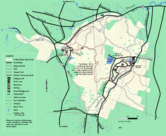
Willard Brook State Forest trail map
Trail map of Willard Brook State Forest in Massachusetts.
113 miles away
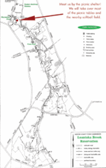
Loantaka Park Map
113 miles away
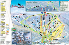
Jiminy Peak Resort Ski Trail Map
Trail map from Jiminy Peak Resort.
114 miles away
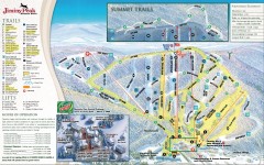
Jiminy Peak Ski Trail Map
Official ski trail map of Jiminy Peak ski area from the 2007-2008 season.
114 miles away
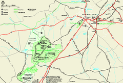
Morristown National Historical Park Official Map
Official NPS map of Morristown National Historical Park in New Jersey. Shows all areas. Tours...
114 miles away

Mountain Creek South Ski Trail Map
Trail map from Mountain Creek.
114 miles away
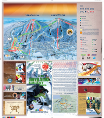
Mountain Creek North Ski Trail Map
Trail map from Mountain Creek.
114 miles away
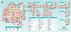
Cape Cod Hospital Map
Campus map of Cape Cod Hospital
114 miles away

Cape Cod Hospital Map
Map of external vicinity of Cape Cod Hospital
114 miles away
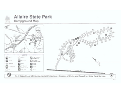
Allaire State Park campground map
Campground map for Allaire State Park in Vermont
114 miles away
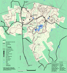
Great Brook Farm State Park trail map
Trail map of Great Brook Farm State Park.
114 miles away

Downtown Morriston Map
114 miles away
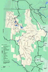
Savoy Mountain winter map
Winter use map of Savoy Mountain in Massachusetts.
114 miles away
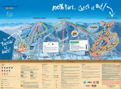
Mountain Creek Ski Trail Map
Official ski trail map of Mountain Creek ski area from the 2007-2008 season. (formerly Vernon...
114 miles away
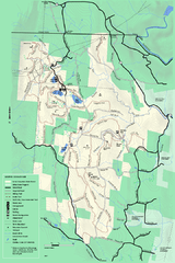
Savoy Mountail trail map
Trail map for Savoy Mountain in Massachusetts.
114 miles away
Mt. Watatic to Wachusett Mountain, Massachusetts...
115 miles away
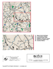
Greater Merrimack Valley, Massachusetts Map
Tourist map of greater Merrimack Valley, Massachusetts. Lodging, forests, and other points of...
116 miles away
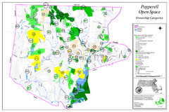
Pepperell Conservation Land and Open Spaces Map
Map showing conservation land and open spaces in Pepperell, MA.
117 miles away
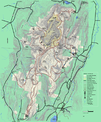
Mt. Greylock State Reservation winter trail map
Winter use trail map of Mt. Greylock State Park in Massachusetts.
117 miles away
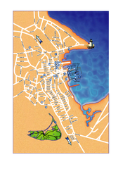
Nantucket Town Street Map
Tourist map of town of Nantucket on Nantucket Island. Shows major streets and points of interest...
117 miles away
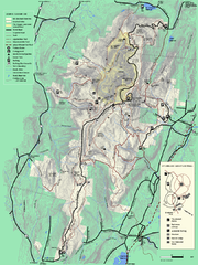
Mt. Greylock State Reservation summer trail map
Summer trail map of the Mt. Greylock State Park area in Massachusetts.
117 miles away
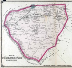
Antique map of Piscataway from 1876
Historic map of Piscataway, New Jersey from 1876.
117 miles away
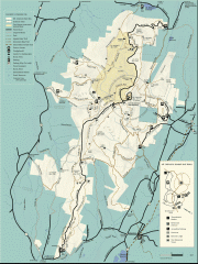
Mt. Greylock State Reservation map
Official summer map of the Mount Greylock State Reservation. At 3,491 feet, Mount Greylock is the...
117 miles away

Lewis Morris Park Trail Map
117 miles away
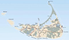
Tourist Map of Nantucket Island
Tourist map of Nantucket Island. Shows all towns and information.
118 miles away
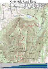
Mt. Greylock Road Race Course Map
Course map of the annual Mount Greylock Road Race. 8 Miles (uphill). Start/Finish: Mt. Williams...
118 miles away

