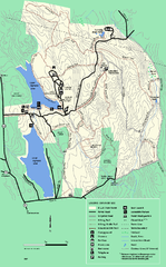
DAR State Forest summer map
Summer use map of the Daughters of the American Revolution state forest.
95 miles away
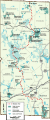
Midstate Trail Map
Map of the Midstate Trail, which runs from Ashburnham to the Rhode Island border. Shows state...
95 miles away
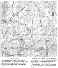
Trout Brook Conservation Area Map
95 miles away
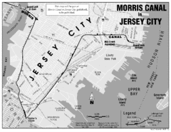
Jersey City Map
95 miles away
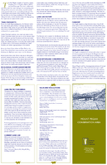
Mt. Pisgah Map - Northboro, Berlin, Boylston Mass
96 miles away
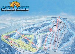
Catamount Ski Trail Map
Official ski trail map of Catamount ski area from the 2006-2007 season.
96 miles away
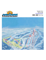
Catamount Ski Area Ski Trail Map
Trail map from Catamount Ski Area.
96 miles away
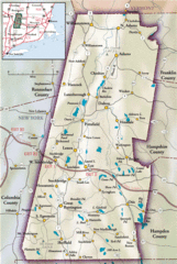
Berkshires Map
Overview map of the Berkshires region of Western Massachusetts
98 miles away
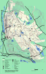
October Mountain State Forest trail map
Trail map of October Mountain State Forest in Massachusetts.
98 miles away
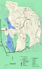
DAR State Forest winter map
Winter use map of the Daughters of the American Revolution State Forest.
98 miles away
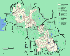
Callahan State Park trail map
Trail map of Callahan State Park in Massachusetts
98 miles away
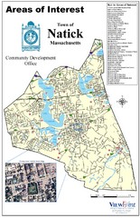
Natick Areas Of Interest Map
Shows points of interest in town of Natick, Massachusetts. Inset of downtown Natick.
98 miles away
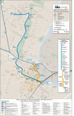
Newark Light Rail system Map
Newark Light rail system
98 miles away
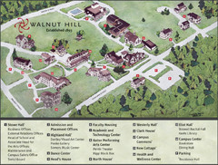
Walnut Hill School Map
Campus Map
98 miles away
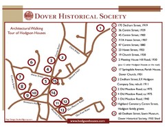
Dover Architectural Walking Map
Architectural walking tour of Hodgson Houses
98 miles away
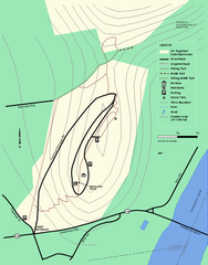
Mt. Sugarloaf State Reservation trail map
Trail map of Mount Sugarloaf State Reservation
98 miles away
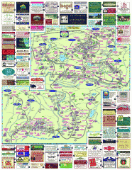
South County Berkshires map
Tourist map of Great Barrington, Housatonic, Sheffield, S. Egremont, N. Egremont Lenox, Stockbridge...
99 miles away
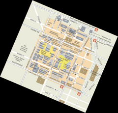
Rutgers University Map
99 miles away
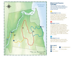
Black Creek Trail Preserve Map
Trail map of Black Creek Preserve on the Hudson River in New York. Shows Yellow Trail, Red Trail...
99 miles away
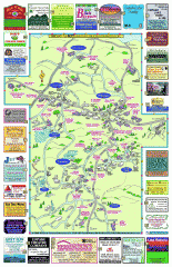
Columbia County - Boston Corners, Copake, Copake...
Tourist map of Columbia County, Mass. Includes towns of Boston Corners, Copake, Copake Falls...
99 miles away
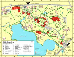
Wellesley College campus map
2008 Wellesley College campus map
99 miles away
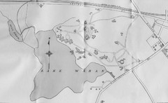
1899 Map of Wellesley College
After College Hall, the original site of Wellesley's faculty, students, classrooms, and...
100 miles away
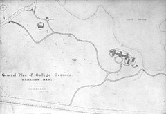
1870s Map of Wellesley College
General plan of college grounds, 1870s.
100 miles away
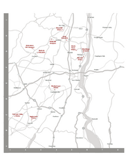
Shawangunk Wine Trail Map
Map of the Shawangunk Wine Trail on the Hudson River in New York. Shows all vineyards and wineries...
100 miles away
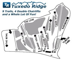
Tuxedo Ridge Ski Trail Map
Trail map from Tuxedo Ridge.
100 miles away
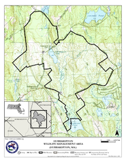
Hubbardston WMA Map
100 miles away
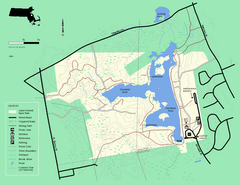
Ames Nowell State Park Map
Simple map of this beautiful state park. Visit and hike, bike, and shop!
100 miles away
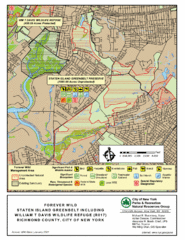
Staten Island Greenbelt Map
100 miles away
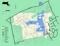
Ames Nowell State Park Map
Trail map of Ames Nowell State Park in Massachusetts
100 miles away
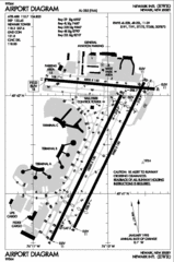
Newark Liberty International Airport Map
100 miles away
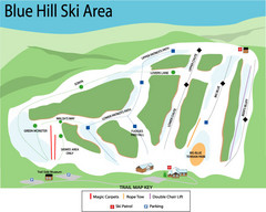
Blue Hills Ski Area Ski Trail Map
Trail map from Blue Hills Ski Area.
101 miles away
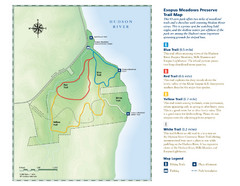
Esopus Meadows Preserve Trail Map
Trail map of Esopus Meadows Preserve park on the Hudson River.
101 miles away
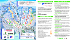
Wachusett Mountain Ski Trail Map
Trail map from Wachusett Mountain.
101 miles away
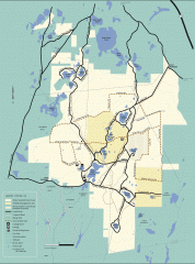
Myles Standish State Forest winter trail map
Winter activity map of all the trails and roads in Myles Standish State Park, MA. Cross country...
101 miles away
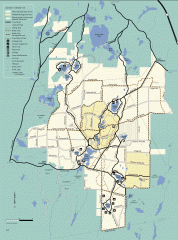
Myles Standish State Forest summer trail map
Map of all the trails and roads in Myles Standish State Park, MA. 15 miles of bicycle trails, 35...
101 miles away

Staten Island Subway/Railway Map
101 miles away
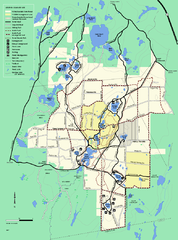
Myles Standish State Forest trail map
Summer trail map for Myles Standish State Forest.
101 miles away
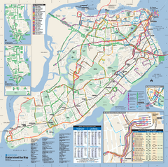
Staten Island Bus Map
Official Bus Map of Staten Island. Shows all routes.
102 miles away
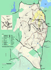
Wachusett Mountain State Reservation trail map
Trail map of Wachusett Mountain State Reservation in Massachusetts.
102 miles away
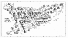
Lenox Village Map
Hand-drawn village map of historic center of Lenox, Massachusetts
102 miles away

