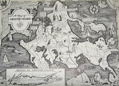
Shelter Island Map
Old Shelter Island map circa 1930s
0 miles away
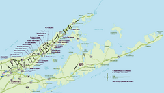
Long Island Wineries Map
Map of LIWC member wineries offering wine tastings to the public.
5 miles away

Eastern Long Island Placemat map
Photo of a placemat map from Gosman's Dock Restaurant in Montauk, NY. Shows eastern Long...
12 miles away
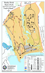
Rocky Neck State Park trail map
Trail map of Rocky Neck State Park in Connecticut.
17 miles away
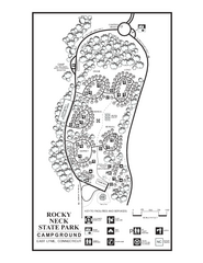
Rocky Neck State Park campground map
Campground map of Rocky Neck State Park in Connecticut.
17 miles away

Hammonasset Beach State Park map
Trail map for Hammonasset Beach State Park in Connecticut.
18 miles away

Hammonasset Beach State Park campground map
Campground map of Hammonasset State Park in Connecticut.
18 miles away
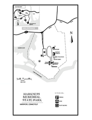
Harkness Memorial State Park map
Trail map of Harkness Memorial State Park in Connecticut.
20 miles away
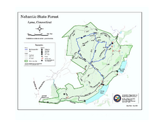
Nehantic State Forest map
Trail map of Nehantic State Forest in Connecticut.
22 miles away
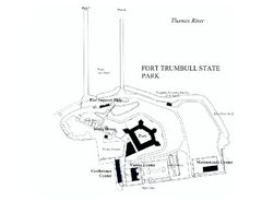
Fort Trumbull State Park map
Map of Fort Trumbull State Park in Connecticut.
22 miles away
Appalachian National Scenic Trail Map
Scenic trail Maine to Georgia
23 miles away
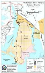
Bluff Point State Park map
Trail map for Bluff Point State Park and Coastal Reserve.
24 miles away
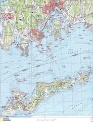
Fishers Island Map
In Long Island Sound
24 miles away
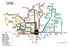
Guilford Bus Services Map
24 miles away
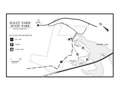
Haley Farm State Park map
Trail map of Haley Farm State Park in Connecticut.
24 miles away
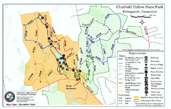
Chatfield Hollow State Park map
Trail map of Chatfield Hollow State Park
25 miles away
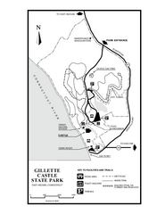
Gillette State Park trail map
Trail map of Gillette Castle State Park in Connecticut.
25 miles away

Cockaponset State Forest South Section trail map
Trail map for the South Section of Cockaponset State Forest in Connecticut.
26 miles away
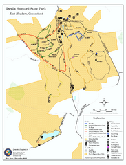
Devils Hophard State Park map
Trail and camprground map for Devils Hopyard State Park in Connecticut.
28 miles away

Cockaponset State Forest North Section trail map
Trail map for the north section of Cockaponset State Forest in Connecticut
29 miles away
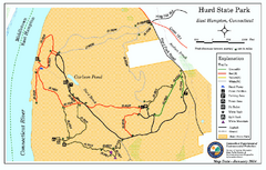
Hurd State Park trail map
Trail map for Hurd State Park in Connecticut.
33 miles away
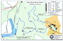
Daypond State Park map
Trail map for Day Pond State Park
34 miles away

Urban Neighborhood Map: Long Island Map
This Urban Neighborhood Poster of Long Island is a modern twist on traditional maps. The typography...
34 miles away

Salmon River State Forest trail map
Trail map for Salmon River State Forest in Connecticut.
34 miles away
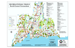
South Central Connecticut Recreational Trail Map
Map of South Central Connecticut showing all recreational trails and open spaces.
35 miles away

Yale University Map
35 miles away
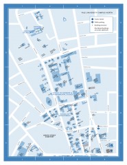
Yale University Campus North Map
Yale University Campus Map - North Campus, including School of Forestry & Environmental Studies...
35 miles away
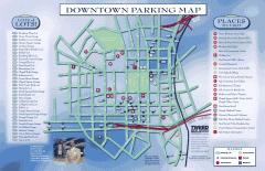
Downtown New Haven Parking Map
Shows locations of all town parking lots and also points of interest
35 miles away
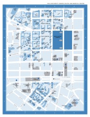
Yale University Campus South and Medical Center...
Yale University Campus South and Medical Center, including the Hewitt Quad, Cross Campus, Old Campus
35 miles away
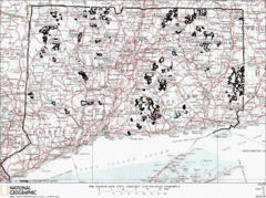
Connecticut State Forests Map
This is a map of all of the state forest boundaries in Connecticut. Follow the source web address...
36 miles away
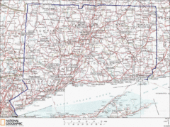
Connecticut State Parks Map
This is statewide map for Connecticut state parks. Go to the source website for detailed hiking...
36 miles away
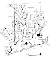
Rhode Island Coastal Watershed Map
Paddling Guide of Pawcatuck River Watershed
37 miles away
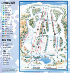
Powder Ridge Ski Area Ski Trail Map
Trail map from Powder Ridge Ski Area.
37 miles away
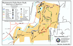
Wadsworth Falls State Park map
Trail map of Wadsworth Falls State Park in Connecticut.
37 miles away
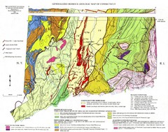
Connecticut Geologic Map
Geologic map of Connecticut bedrock. Shows shaded terranes, fault lines, and Mesozoic formations.
37 miles away
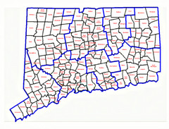
Connecticut Town Map
37 miles away
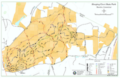
Sleeping Giant State Park map
Trail map for Sleeping Giant State Park in Connecticut.
38 miles away
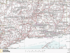
Connecticut Canoeing and Kayaking Lakes Map
A map of the lakes and ponds that are open for canoeing and kayaking in Connecticut. For detailed...
38 miles away
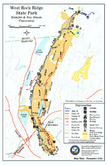
West Rock Ridge State Park map
Trail map of West Rock Ridge State Park in Connecticut.
39 miles away


