Indianhead Mountain Resort Ski Trail Map
Trail map from Indianhead Mountain Resort.
157 miles away

Blackjack Ski Resort Ski Trail Map
Trail map from Blackjack Ski Resort.
159 miles away
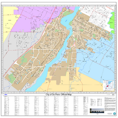
De Pere City Map
Official street map of city of De Pere, Wisconsin
159 miles away

Michigan Counties Map
160 miles away
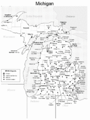
Michigan Airports Map
160 miles away
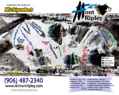
Mont Ripley Ski Trail Map
Trail map from Mont Ripley.
160 miles away

Big Powderhorn Mountain Ski Trail Map
Trail map from Big Powderhorn Mountain.
163 miles away

Big Powderhorn Mountain, Map
Trail map for Big Powderhorn, taken from their website in Jan 2008
163 miles away
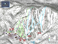
Caberfae Peaks Ski & Golf Resort Ski Trail Map
Trail map from Caberfae Peaks Ski & Golf Resort.
166 miles away
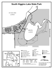
South Higgins Lake State Park, Michigan Site Map
169 miles away

Whitecap Mountains Ski Trail Map
Trail map from Whitecap Mountains.
170 miles away
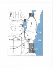
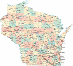
Eastern Wisconsin Map
170 miles away
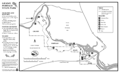
Grand Portage State Park Map
Map of park with detail of trails and recreation zones
172 miles away
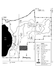
Pike Lake Map
Detailed trail map of area surrounding Pike Lake.
175 miles away
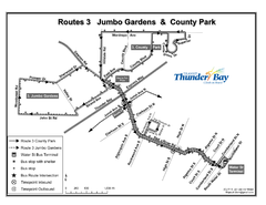
Thunder Bay Transit Map
I made this map after desperately trying to find out how to arrive at my daughters violin class...
175 miles away
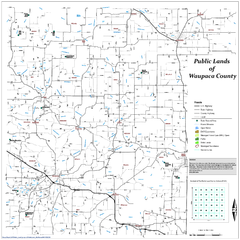
Public Lands of Waupaca County Map
177 miles away

Downtown Appleton Map
177 miles away
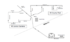
Thunder Bay Transit Map
This is the original map of Thunder Bay Bus Route 3. See my proposal for an improved design.
178 miles away

Whitecap Ski Trail Map
Official ski trail map of Whitecap Mountains ski area. 43 runs.
178 miles away
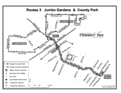
Thunder Bay Transit Map
A proposal to Thunder Bay transit to replace their actual map design for bus routes which are not...
179 miles away

Mount Baldy Ski Trail Map
Trail map from Mount Baldy, which provides downhill skiing. This ski area has its own website.
181 miles away
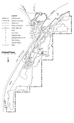
High Cliff Park Map
High quality map with easy to read trails and routes.
181 miles away
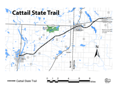
Cat Tail State Trail Map
Map marking trails, bike routes, shelter, toilets and more.
182 miles away
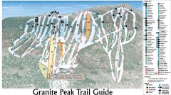
Granite Peak Ski Trail Map
Official ski trail map of Granite Peak ski area from the 2004-2005 season.
182 miles away

Granite Peak Ski Trail Map
Trail map from Granite Peak.
182 miles away
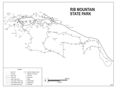
Rib Mountain State Park Map
Simple state park map with nice hiking trails.
183 miles away
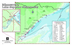
Minnesota's Lake Superior Shipwrecks Map
Guide to Lake Superior shipwrecks in Minnesota
183 miles away
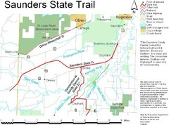
Saunders State Trail Map
Points of interest, lakes, roads, forests and more are marked on this map's key.
184 miles away
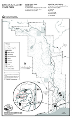
Judge C.R. Magney State Park Map
Map of park with detail of trails and recreation zones
185 miles away
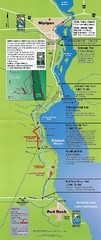
Nipigon River Recreational Trail Map
Map of the river trail between Red Rock and Nipigon.
186 miles away
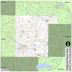
Regional Road Map of Waupaca County, Wisconsin
186 miles away

Lake Michigan Depths Map
188 miles away
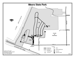
Mears State Park, Michigan Site Map
189 miles away
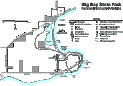
Big Bay State Park Map
Detailed map of nice hikes and stops around Big Bay State Park near Lake Superior.
191 miles away
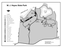
Hayes State Park, Michigan Unit Map
191 miles away
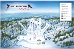
Mount Dufour Ski Trail Map
Trail map from Mount Dufour, which provides downhill skiing. This ski area has its own website.
193 miles away
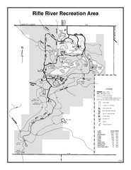
Rifle River Recreation Area, Michigan Site Map
194 miles away
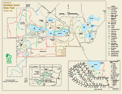
Hartman Creek State Park map
Detailed recreation map for Hartman Creek State Park in Wisconsin
195 miles away

