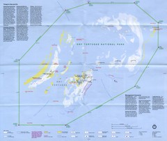
Dry Tortugas National Park Map
Park map of Dry Tortugas National Park, Florida
less than 1 mile away
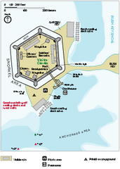
Garden Key Dry Tortugas National Park Map
Detail Map of Garden Key, Dry Tortugas National Park in Florida. The park is located almost 70...
less than 1 mile away
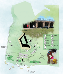
Fort Zachary Taylor State Park Map
Map of park with detail of trails and recreation zones
67 miles away
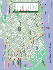
Old Town Key West, Florida Map
Tourist map of Old Town Key West, Florida. Beaches, boat ramps, and other points of interest are...
68 miles away
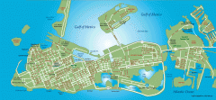
Key West tourist map
Key West tourist map, showing points of interest.
69 miles away
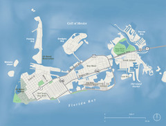
Key West Map
70 miles away
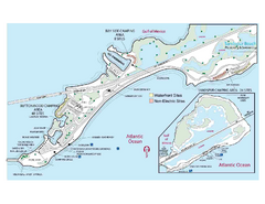
Bahia Honda State Park Map
Map of park with detail of recreation zones
101 miles away

Florida Keys Map
Tourist map of the Florida Keys. Shows points of interest and dive sites.
108 miles away
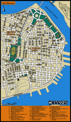
Havana Tourist Map
Tourist street map of Havana
108 miles away
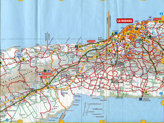
"Los Palacios - La Habana" Road Map
108 miles away
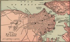
Antique map of Havana, Cuba from 1901
Map of Havana, Cuba from Cram's Modern Atlas, 1901.
108 miles away
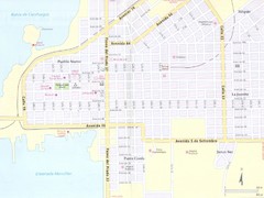
Cienfuegos City Map
108 miles away
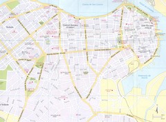
Havana City Map
108 miles away
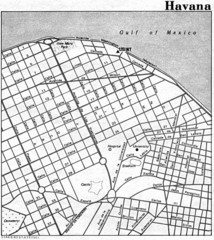
Havana City Tourist Map
108 miles away
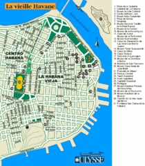
La Habana Tourist Map
108 miles away
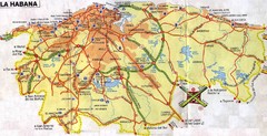
Havana Cuba Tourist Map
Map of Metro Havana, Cuba showing roads, cities, tourist spots, gas stations and hotels.
111 miles away
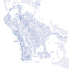
Marco Island Hotel Map
Hotel map of Marco Island, Florida
116 miles away
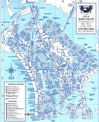
Marco Island Map
116 miles away
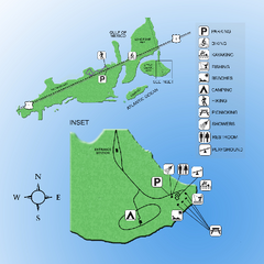
Curry Hammock State Park Map
Map of park with detail of various recreation zones
119 miles away

Florida Keys Map
Map of the Florida Keys includes all islands, dive sites, boat launches and important places.
121 miles away
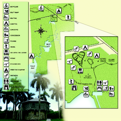
Collier-Seminole State Park Map
Map of park with detail of trails and recreation zones
123 miles away
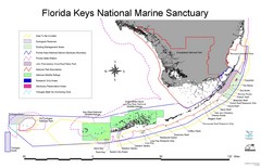
Florida Keys National Marine Sanctuary Map
Map of Florida Keys National Marine Sanctuary
128 miles away
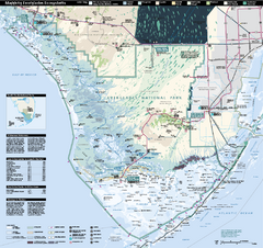
Everglades National Park Map
Official NPS map of Everglades National Park
129 miles away
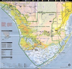
Everglades National Park Map
130 miles away
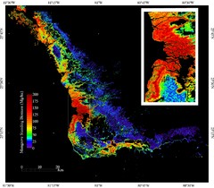
Mangrove Biomass Map
Map of Mangrove Forest Biomass was produced using the elevation data from the Shuttle Radar...
130 miles away
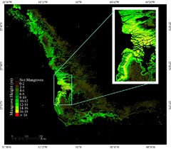
Mangrove Height Map
Map of Mangrove Forest Height was produced using the elevation data from the Shuttle Radar...
130 miles away
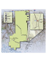
Fakahatchee Strand Preserve State Park Map
Map of park
132 miles away
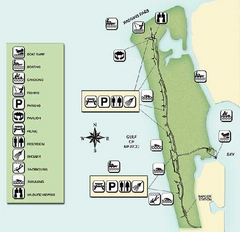
Delnor-Wiggings Pass State Park Map
Map of park with detail of trails and recreation zones
132 miles away
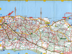
"Batabano - CArdenas" Map
135 miles away
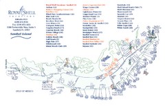
Sanibel Island Tourist Map
Tourist map of Sanibel Island, Florida
135 miles away
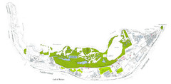
Sanibel Island and Captiva Island Map
135 miles away
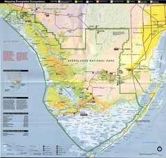
Everglades National Park Map
136 miles away
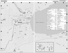
Matanzas Map
137 miles away
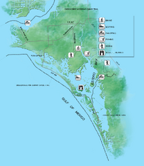
Estero Bay Preserve State Park Map
Map of park with detail of trails and recreation zones
139 miles away
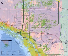
Big Cypress National Reserve Map
139 miles away
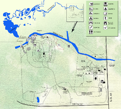
Koreshan State Historic Site Map
Map of park with detail of trails and recreation zones
141 miles away

"Santa LusIa - Manuel Sanguily" Road Map
147 miles away
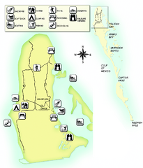
Cayo Costa State Park Map
Map of park with detail of trails and recreation zones
147 miles away
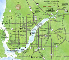
Cap Coral and Surrounding Area Map
Small, humble fishing community along the coast of Florida.
150 miles away

